4991 N State Highway 67 Sedalia, CO 80135
Estimated Value: $839,000
2
Beds
2
Baths
1,044
Sq Ft
$804/Sq Ft
Est. Value
About This Home
This home is located at 4991 N State Highway 67, Sedalia, CO 80135 and is currently estimated at $839,000, approximately $803 per square foot. 4991 N State Highway 67 is a home with nearby schools including Sedalia Elementary School, Castle Rock Middle School, and Castle View High School.
Ownership History
Date
Name
Owned For
Owner Type
Purchase Details
Closed on
Jan 29, 2014
Sold by
Petersen Mark E
Bought by
Petersen Mark E and Kallil Eeris
Current Estimated Value
Purchase Details
Closed on
Nov 15, 1990
Sold by
Schouten Harold R
Bought by
Petersen Mark E
Purchase Details
Closed on
Mar 14, 1990
Sold by
Schouten Douglas J and Schouten Donna L
Bought by
Schouten Harold R
Purchase Details
Closed on
Apr 3, 1987
Sold by
Guy Edmund M
Bought by
Langham Bettie A and Schouten Douglas L
Purchase Details
Closed on
Feb 3, 1986
Sold by
Guy Gary G
Bought by
Guy Edmund M
Purchase Details
Closed on
Mar 1, 1980
Sold by
Contractors Unlimited Construction
Bought by
Guy Gary G
Create a Home Valuation Report for This Property
The Home Valuation Report is an in-depth analysis detailing your home's value as well as a comparison with similar homes in the area
Home Values in the Area
Average Home Value in this Area
Purchase History
| Date | Buyer | Sale Price | Title Company |
|---|---|---|---|
| Petersen Mark E | -- | -- | |
| Petersen Mark E | -- | -- | |
| Schouten Harold R | -- | -- | |
| Langham Bettie A | $165,000 | -- | |
| Guy Edmund M | $96,000 | -- | |
| Guy Gary G | $96,000 | -- |
Source: Public Records
Tax History Compared to Growth
Tax History
| Year | Tax Paid | Tax Assessment Tax Assessment Total Assessment is a certain percentage of the fair market value that is determined by local assessors to be the total taxable value of land and additions on the property. | Land | Improvement |
|---|---|---|---|---|
| 2024 | $39 | $470 | $470 | -- |
| 2023 | $39 | $470 | $470 | $0 |
| 2022 | $36 | $460 | $460 | $0 |
| 2021 | $40 | $460 | $460 | $0 |
| 2020 | $39 | $480 | $480 | $0 |
| 2019 | $39 | $480 | $480 | $0 |
| 2018 | $37 | $460 | $460 | $0 |
| 2017 | $35 | $460 | $460 | $0 |
| 2016 | $33 | $430 | $430 | $0 |
| 2015 | $17 | $430 | $430 | $0 |
| 2014 | $17 | $390 | $390 | $0 |
Source: Public Records
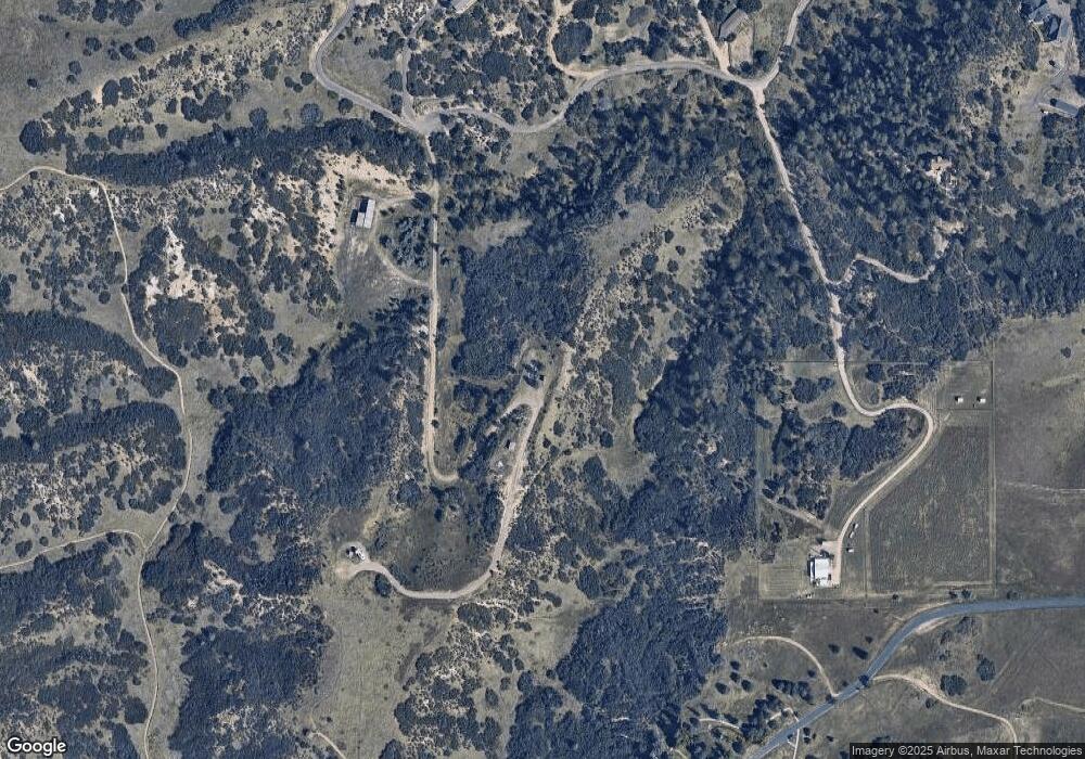
Map
Nearby Homes
- 6751 Cherokee Dr
- 3120 Bears Den Dr
- 3013 Bears Den Dr
- 5740 Lambert Ranch Trail
- 2367 Keep Dr
- 3330 Tweet Place
- 3248 Tweet Place Unit Parcel 9
- 4279 Sanctuary Way
- 3878 Turret Ln Unit 37
- 6555 Meadowbrook Ln
- 7037 W Meadowbrook Ln
- 2810 Bartizan Ln Unit 19
- 2814 Charlford Ln
- 6425 Third St
- 7801 Valley View St
- 2301 Keep Dr Unit 46
- 2327 Keep Dr
- 7225 Box Canyon Rd
- 7904 Hillcrest Dr
- 2360 Charlford Ln Unit 60
- 5597 N State Highway 67
- 5697 N State Highway 67
- 5547 N State Highway 67
- 4983 N State Highway 67
- 4735 Lambert Ranch Trail
- 4962 N State Highway 67
- 5366 N 67 Hwy
- 5366 N Highway 67
- 4809 Lambert Ranch Trail
- 4660 Lambert Ranch Trail
- 4850 Lambert Ranch Trail
- 4863 Lambert Ranch Trail
- 4580 Lambert Ranch Trail
- 5205 Hier Valley Rd
- 4915 Rio Blanco Unit 240
- 4890 Lambert Ranch Trail
- 4500 Lambert Ranch Trail
- 3973 Sioux Ct
- 4949 N Highway 67
- 4949 N State Highway 67