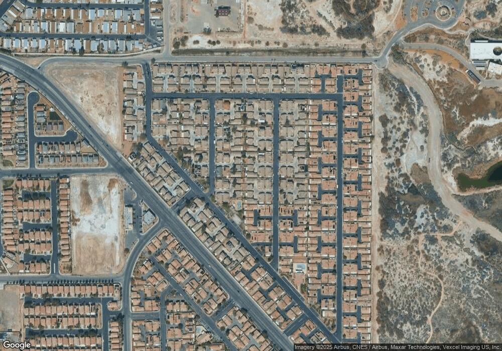
4993 Droubay Dr Unit A Las Vegas, NV 89122
Estimated Value: $325,642 - $342,000
3
Beds
2
Baths
1,183
Sq Ft
$284/Sq Ft
Est. Value
About This Home
This home is located at 4993 Droubay Dr Unit A, Las Vegas, NV 89122 and is currently estimated at $336,161, approximately $284 per square foot. 4993 Droubay Dr Unit A is a home located in Clark County with nearby schools including Sister Robert Joseph Bailey Elementary School, Francis H Cortney Junior High School, and Basic Academy of International Studies.
Ownership History
Date
Name
Owned For
Owner Type
Purchase Details
Closed on
May 14, 2018
Sold by
Damian Ofelia and Damian Antonio
Bought by
Anglim Kevin Spencer G
Current Estimated Value
Purchase Details
Closed on
Dec 27, 2002
Sold by
Beazer Homes Holdings Corp
Bought by
Damian Antonio and Damian Ofelia
Home Financials for this Owner
Home Financials are based on the most recent Mortgage that was taken out on this home.
Original Mortgage
$75,950
Interest Rate
5.86%
Create a Home Valuation Report for This Property
The Home Valuation Report is an in-depth analysis detailing your home's value as well as a comparison with similar homes in the area
Home Values in the Area
Average Home Value in this Area
Purchase History
| Date | Buyer | Sale Price | Title Company |
|---|---|---|---|
| Anglim Kevin Spencer G | $205,000 | Lawyers Title Of Nevada C | |
| Damian Antonio | $126,474 | Lawyers Title |
Source: Public Records
Mortgage History
| Date | Status | Borrower | Loan Amount |
|---|---|---|---|
| Previous Owner | Damian Antonio | $75,950 |
Source: Public Records
Tax History Compared to Growth
Tax History
| Year | Tax Paid | Tax Assessment Tax Assessment Total Assessment is a certain percentage of the fair market value that is determined by local assessors to be the total taxable value of land and additions on the property. | Land | Improvement |
|---|---|---|---|---|
| 2025 | $848 | $77,719 | $21,350 | $56,369 |
| 2024 | $824 | $77,719 | $21,350 | $56,369 |
| 2023 | $864 | $78,422 | $25,200 | $53,222 |
| 2022 | $839 | $68,553 | $19,950 | $48,603 |
| 2021 | $777 | $64,388 | $18,200 | $46,188 |
| 2020 | $751 | $63,268 | $17,500 | $45,768 |
| 2019 | $730 | $59,365 | $14,350 | $45,015 |
| 2018 | $696 | $52,358 | $11,550 | $40,808 |
| 2017 | $1,466 | $49,632 | $10,850 | $38,782 |
| 2016 | $653 | $41,670 | $7,350 | $34,320 |
| 2015 | $651 | $31,311 | $5,600 | $25,711 |
| 2014 | $631 | $22,398 | $3,500 | $18,898 |
Source: Public Records
Map
Nearby Homes
- 5061 Droubay Dr
- 4971 Droubay Dr Unit A
- 5043 Mascaro Dr
- 6676 Black Oil Dr
- 5129 Midnight Oil Dr
- 4940 Mascaro Dr
- 5114 Mascaro Dr
- 5196 Mineral Lake Dr
- 5230 Panguitch Dr
- 5236 Jewel Canyon Dr
- 6483 Brook Cottage Ln
- 5279 Mineral Lake Dr Unit C
- 6693 Diamond Care Dr
- 6659 Diamond Care Dr Unit C
- 6420 E Tropicana Ave Unit 182
- 6420 E Tropicana Ave Unit 93
- 6420 E Tropicana Ave Unit 279
- 6420 E Tropicana Ave Unit 168
- 6420 E Tropicana Ave Unit 304
- 6420 E Tropicana Ave Unit 128
- 5011 Droubay Dr
- 4989 Droubay Dr
- 4997 Droubay Dr
- 5015 Droubay Dr
- 4985 Droubay Dr
- 4994 Miners Ridge Dr
- 5007 Droubay Dr Unit A
- 4990 Miners Ridge Dr
- 5012 Miners Ridge Dr
- 5001 Droubay Dr Unit n/a
- 5001 Droubay Dr
- 5016 Miners Ridge Dr
- 4986 Miners Ridge Dr
- 5019 Droubay Dr
- 4977 Droubay Dr Unit A
- 4981 Droubay Dr
- 5003 Droubay Dr
- 5020 Miners Ridge Dr
- 4982 Miners Ridge Dr
- 4998 Miners Ridge Dr
