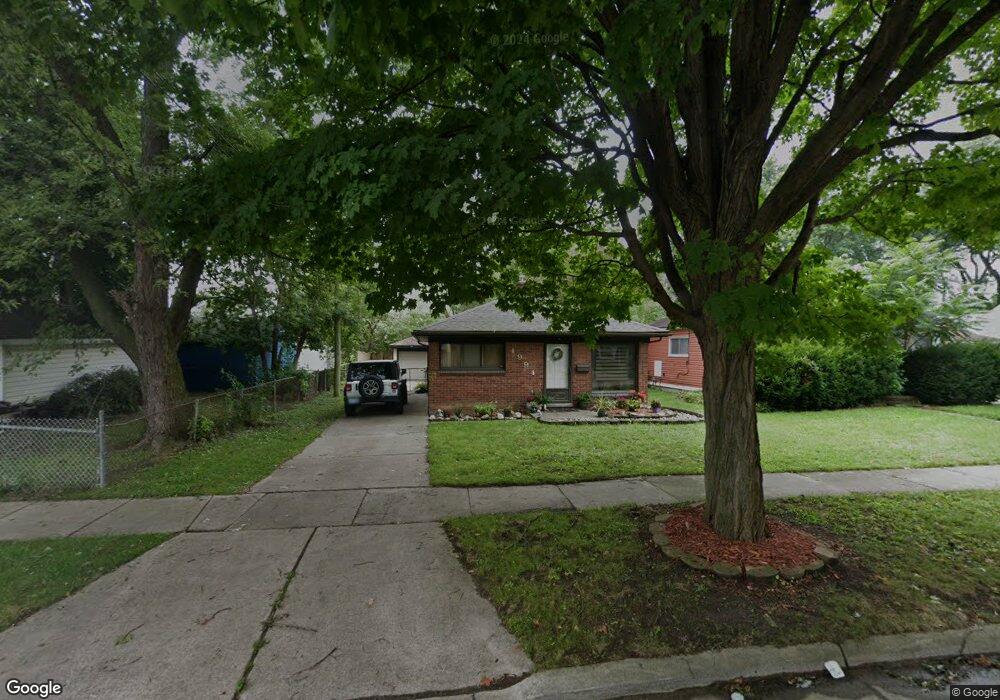
4994 Huron St Dearborn Heights, MI 48125
Estimated Value: $138,000 - $145,000
2
Beds
1
Bath
936
Sq Ft
$152/Sq Ft
Est. Value
About This Home
This home is located at 4994 Huron St, Dearborn Heights, MI 48125 and is currently estimated at $142,221, approximately $151 per square foot. 4994 Huron St is a home located in Wayne County with nearby schools including Polk Elementary School, Bedford School, and Pardee School.
Ownership History
Date
Name
Owned For
Owner Type
Purchase Details
Closed on
Oct 18, 2011
Sold by
Fannie Mae
Bought by
Brar Rajinder
Current Estimated Value
Purchase Details
Closed on
Dec 14, 2010
Sold by
Wells Fargo Bank Na
Bought by
Federal National Mortgage Association
Purchase Details
Closed on
Dec 8, 2010
Sold by
Shepard David C and Shepard David
Bought by
Wells Fargo Bank Na
Purchase Details
Closed on
Nov 22, 2006
Sold by
Porter Julia E
Bought by
Shepherd David C
Purchase Details
Closed on
Dec 27, 2001
Sold by
Hammond Christopher M
Bought by
Porter Julia E
Purchase Details
Closed on
Mar 10, 1997
Sold by
Danielle N Toth
Bought by
Christopher M Hammond
Purchase Details
Closed on
Apr 17, 1996
Sold by
Danielle Toth
Bought by
Hillier Ricky A and Hillier Kathleen M
Create a Home Valuation Report for This Property
The Home Valuation Report is an in-depth analysis detailing your home's value as well as a comparison with similar homes in the area
Home Values in the Area
Average Home Value in this Area
Purchase History
| Date | Buyer | Sale Price | Title Company |
|---|---|---|---|
| Brar Rajinder | $21,000 | Attorneys Title Agency Llc | |
| Federal National Mortgage Association | -- | None Available | |
| Wells Fargo Bank Na | $85,809 | None Available | |
| Shepherd David C | $85,000 | Metropolitan | |
| Porter Julia E | $103,500 | -- | |
| Christopher M Hammond | $65,000 | -- | |
| Hillier Ricky A | $62,700 | -- |
Source: Public Records
Tax History
| Year | Tax Paid | Tax Assessment Tax Assessment Total Assessment is a certain percentage of the fair market value that is determined by local assessors to be the total taxable value of land and additions on the property. | Land | Improvement |
|---|---|---|---|---|
| 2025 | $1,567 | $69,100 | $0 | $0 |
| 2024 | $1,504 | $61,400 | $0 | $0 |
| 2023 | $1,664 | $53,900 | $0 | $0 |
| 2022 | $2,122 | $46,500 | $0 | $0 |
| 2021 | $2,105 | $40,200 | $0 | $0 |
| 2019 | $2,030 | $34,200 | $0 | $0 |
| 2018 | $1,277 | $29,900 | $0 | $0 |
| 2017 | $1,408 | $28,900 | $0 | $0 |
| 2016 | $1,939 | $28,200 | $0 | $0 |
| 2015 | $2,620 | $26,200 | $0 | $0 |
| 2013 | $2,600 | $26,700 | $0 | $0 |
| 2010 | -- | $35,900 | $0 | $0 |
Source: Public Records
Map
Nearby Homes
- 20602 Powers Ave
- 20616 Powers Ave
- 20313 Powers Ave
- 5607 Polk St
- 5621 Merrick St
- 4641 Weddell St
- 4833 Harding St
- 5652 Merrick St
- 4694 Ziegler St
- 4630 Pelham St
- 21006 Annapolis St
- 4913 Campbell St
- 4630 Gertrude St
- 4994 Campbell St
- 5873 Merrick St
- 4212 Huron St
- 4911 Detroit St
- 4993 Clippert St
- 5622 Campbell St
- 4205 Harding St
- 20516 Powers Ave
- 20502 Powers Ave
- 4972 Huron St
- 20524 Powers Ave Unit Bldg-Unit
- 20524 Powers Ave
- 20532 Powers Ave
- 4964 Huron St
- 4995 Hipp St
- 4981 Hipp St
- 20540 Powers Ave
- 20456 Powers Ave
- 4973 Hipp St
- 4995 Huron St
- 4956 Huron St
- 4987 Huron St
- 4981 Huron St
- 20550 Powers Ave Unit Bldg-Unit
- 20550 Powers Ave
- 4965 Hipp St
- 20446 Powers Ave