4994 Pheasant Way Stevensville, MI 49127
Estimated Value: $341,000 - $460,000
3
Beds
3
Baths
1,677
Sq Ft
$245/Sq Ft
Est. Value
About This Home
This home is located at 4994 Pheasant Way, Stevensville, MI 49127 and is currently estimated at $410,720, approximately $244 per square foot. 4994 Pheasant Way is a home located in Berrien County with nearby schools including Lakeshore High School and St. Paul's Lutheran School.
Ownership History
Date
Name
Owned For
Owner Type
Purchase Details
Closed on
Jul 26, 2012
Sold by
Moscardelli Frank L and Moscardelli Marlene K
Bought by
Moscardelli Frank L and Moscardelli Marlene K
Current Estimated Value
Purchase Details
Closed on
May 21, 2012
Sold by
Klug Walter R and Klug Eleanor M
Bought by
Moscardelli Frank L and Moscardelli Marlene K
Home Financials for this Owner
Home Financials are based on the most recent Mortgage that was taken out on this home.
Original Mortgage
$87,000
Outstanding Balance
$60,334
Interest Rate
3.92%
Mortgage Type
New Conventional
Estimated Equity
$350,386
Purchase Details
Closed on
Nov 17, 2011
Sold by
Wild Dunes Beach Development Co
Bought by
Moscardelli Frank L and Moscardelli Marlene K
Purchase Details
Closed on
Jul 19, 2010
Sold by
Mega Investments Iii
Bought by
Wild Dunes Beach Development Inc
Create a Home Valuation Report for This Property
The Home Valuation Report is an in-depth analysis detailing your home's value as well as a comparison with similar homes in the area
Home Values in the Area
Average Home Value in this Area
Purchase History
| Date | Buyer | Sale Price | Title Company |
|---|---|---|---|
| Moscardelli Frank L | -- | None Available | |
| Moscardelli Frank L | -- | Multiple | |
| Moscardelli Frank L | $34,000 | Chicago Title Of Michigan | |
| Wild Dunes Beach Development Inc | $68,000 | Cti |
Source: Public Records
Mortgage History
| Date | Status | Borrower | Loan Amount |
|---|---|---|---|
| Open | Moscardelli Frank L | $87,000 |
Source: Public Records
Tax History Compared to Growth
Tax History
| Year | Tax Paid | Tax Assessment Tax Assessment Total Assessment is a certain percentage of the fair market value that is determined by local assessors to be the total taxable value of land and additions on the property. | Land | Improvement |
|---|---|---|---|---|
| 2025 | $3,309 | $192,200 | $0 | $0 |
| 2024 | $2,409 | $170,300 | $0 | $0 |
| 2023 | $2,295 | $151,200 | $0 | $0 |
| 2022 | $2,174 | $123,800 | $0 | $0 |
| 2021 | $2,896 | $122,500 | $20,800 | $101,700 |
| 2020 | $2,860 | $105,000 | $0 | $0 |
| 2019 | $2,710 | $114,600 | $15,700 | $98,900 |
| 2018 | $2,631 | $114,600 | $0 | $0 |
| 2017 | $2,724 | $112,600 | $0 | $0 |
| 2016 | $2,652 | $107,400 | $0 | $0 |
| 2015 | $2,751 | $99,500 | $0 | $0 |
| 2014 | $2,091 | $107,300 | $0 | $0 |
Source: Public Records
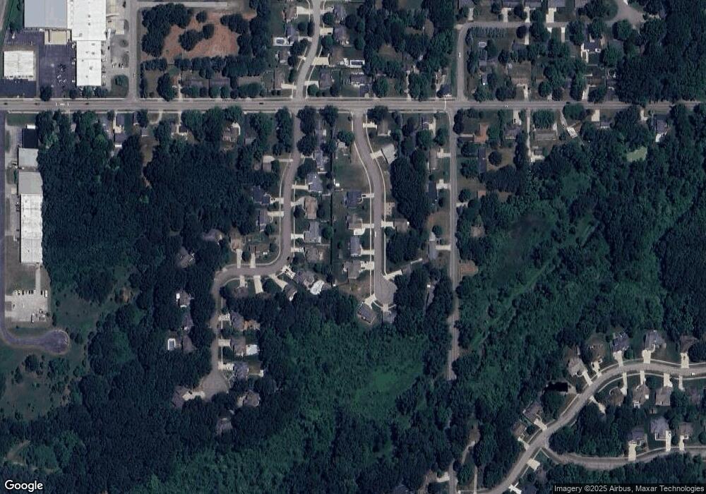
Map
Nearby Homes
- 1998 S Cedar Trail
- 1912 Hidden Pines Trail
- 4736 S Cedar Trail
- 5043 W Donna Dr
- 1949 Orchard Dr
- 4763 Charlestown Dr
- 2192 Pawnee Path
- 1790 Redwood Dr
- 2243 Jeffrey St
- 2720 Wildwood Ln
- 5513 Saint Joseph Ave
- 4481 Cleveland Ave
- 4913 Ridge Rd
- 2710 Sanctuary Dr
- 1462 Mulberry Ln
- 5427 E Karen Ct
- 5477 Fairview St
- 1438 Lupine Dr
- 2949 Pagoda Path
- 2223 Monica Rd
- 4994 Pheasant Way
- 4972 Pheasant Way
- 5000 Pheasant Way
- 4999 Deerwood Trail
- 4997 Pheasant Way
- 5001 Deerwood Trail
- 4977 Deerwood Trail
- 4965 Deerwood Trail
- 4979 Pheasant Way
- 5003 Pheasant Way
- 4960 Pheasant Way
- 4967 Pheasant Way
- 4942 Pheasant Way
- 4949 Deerwood Trail
- 5003 Deerwood Trail
- 4970 Deerwood Trail
- 4951 Pheasant Way
- 4990 S Roosevelt Rd
- 5000 Deerwood Trail
- 4933 Deerwood Trail