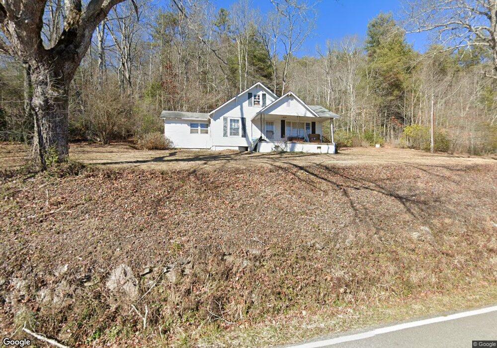
4995 Wolffork Rd Rabun Gap, GA 30568
Estimated Value: $24,000 - $104,000
2
Beds
1
Bath
797
Sq Ft
$82/Sq Ft
Est. Value
About This Home
This home is located at 4995 Wolffork Rd, Rabun Gap, GA 30568 and is currently estimated at $65,000, approximately $81 per square foot. 4995 Wolffork Rd is a home located in Rabun County with nearby schools including Rabun County Primary School, Rabun County High School, and Rabun Gap Nacoochee School.
Ownership History
Date
Name
Owned For
Owner Type
Purchase Details
Closed on
Dec 2, 2021
Sold by
Thurmond Charles C
Bought by
Thurmond Emily Brook
Current Estimated Value
Purchase Details
Closed on
Aug 23, 2019
Sold by
Thurmond Charles C
Bought by
Thurmond Charles C and Thurmond Emma Sue
Purchase Details
Closed on
Oct 27, 2009
Sold by
Thurmond Charles C
Bought by
Thurmond Charles C
Purchase Details
Closed on
Oct 20, 2009
Sold by
Thurmond Ruth Wall
Bought by
Thurmond Eric Clifford
Purchase Details
Closed on
Jan 1, 1955
Bought by
Thurmond Chas Wade
Create a Home Valuation Report for This Property
The Home Valuation Report is an in-depth analysis detailing your home's value as well as a comparison with similar homes in the area
Home Values in the Area
Average Home Value in this Area
Purchase History
| Date | Buyer | Sale Price | Title Company |
|---|---|---|---|
| Thurmond Emily Brook | -- | -- | |
| Thurmond Charles C | -- | -- | |
| Thurmond Charles C | -- | -- | |
| Thurmond Charles C | -- | -- | |
| Thurmond Charles C | -- | -- | |
| Thurmond Eric Clifford | -- | -- | |
| Thurmond Eric Clifford | -- | -- | |
| Thurmond Chas Wade | $3,900 | -- | |
| Thurmond Chas Wade | $3,900 | -- |
Source: Public Records
Tax History Compared to Growth
Tax History
| Year | Tax Paid | Tax Assessment Tax Assessment Total Assessment is a certain percentage of the fair market value that is determined by local assessors to be the total taxable value of land and additions on the property. | Land | Improvement |
|---|---|---|---|---|
| 2025 | $368 | $22,930 | $22,930 | $0 |
| 2024 | $368 | $22,930 | $22,930 | $0 |
| 2023 | $395 | $21,582 | $21,582 | $0 |
| 2022 | $370 | $20,233 | $20,233 | $0 |
| 2021 | $661 | $35,241 | $22,134 | $13,107 |
| 2020 | $655 | $33,768 | $22,134 | $11,634 |
| 2019 | $660 | $33,768 | $22,134 | $11,634 |
| 2018 | $662 | $33,768 | $22,134 | $11,634 |
| 2017 | $635 | $33,768 | $22,134 | $11,634 |
| 2016 | $637 | $33,768 | $22,134 | $11,634 |
| 2015 | $629 | $32,654 | $22,134 | $10,520 |
| 2014 | $632 | $32,654 | $22,134 | $10,520 |
Source: Public Records
Map
Nearby Homes
- 5019 Wolffork Rd
- 0 Allen Cove Rd Unit 10586573
- 784 Wolffork Church Rd
- 230 Majors Ln
- 5192 Wolffork Rd
- 786 Hope Haven Ln
- 1422 Wolffork Rd
- 243 Degroff Ln
- 0 Sylvan Lake Dr Unit 47,48 10485897
- 373 Western Way
- 0 Pitts Way Unit 10592369
- 0 Crest Ln Unit LOT 5 10572844
- 46 Clare Ln
- 153 Coleman Heights Ln
- 189 Elm Ln
- 137 Olds Mountain Peak Rd
- 0 Alto Ln Unit 10533235
- 52 Lucky Ln
- 0 Black Rock Estates Unit 25 10374676
- 0 John Beck Dockins Rd Unit 10606531
- 4999 Wolffork Rd
- 5046 Wolffork Rd
- 4893 Wolffork Rd
- 5093 Wolffork Rd
- 23 Allen Cove Ln
- 4833 Wolffork Rd
- 0 Allen Cove Ln Unit 8877972
- 0 Allen Cove Ln Unit 20046493
- 4761 Wolffork Rd
- 4761 Wolffork Rd Unit 101/2
- 4741 Wolffork Rd
- 20 Dickerson Ln
- 5191 Wolffork Rd Unit 2
- 5191 Wolffork Rd
- 123 Dickerson Ln
- 750 Keener Rd
- 0 Keener Rd Unit 2937201
- 38 Double Branch Rd
- 165 Dickerson Ln
- 4 Keener Rd