Estimated Value: $274,000 - $443,000
4
Beds
2
Baths
3,158
Sq Ft
$123/Sq Ft
Est. Value
About This Home
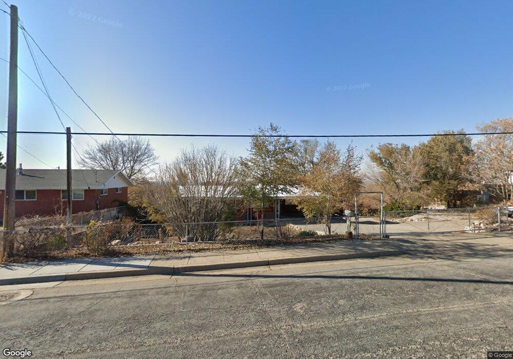
This home is located at 4997 S 2500 W, Roy, UT 84067 and is currently estimated at $389,516, approximately $123 per square foot. 4997 S 2500 W is a home located in Weber County with nearby schools including Lakeview Elementary School, Roy Junior High School, and Roy High School.
Ownership History
Date
Name
Owned For
Owner Type
Purchase Details
Closed on
Apr 29, 2020
Sold by
Catamount Properties 2018 Llc
Bought by
Donivan Dakota
Current Estimated Value
Home Financials for this Owner
Home Financials are based on the most recent Mortgage that was taken out on this home.
Original Mortgage
$239,580
Outstanding Balance
$210,432
Interest Rate
3.3%
Mortgage Type
FHA
Estimated Equity
$179,084
Purchase Details
Closed on
Dec 5, 2019
Sold by
Law Michael S
Bought by
Catamount Properties 2018 Llc
Purchase Details
Closed on
May 30, 2008
Sold by
Law Michael S and Bammann Heike
Bought by
Law Michael S and Bammann Heike
Purchase Details
Closed on
May 20, 2000
Sold by
Johnson Paul C and Johnson Kimberley Ann
Bought by
Dykeman Phillip J and Dykeman Jennie D
Create a Home Valuation Report for This Property
The Home Valuation Report is an in-depth analysis detailing your home's value as well as a comparison with similar homes in the area
Home Values in the Area
Average Home Value in this Area
Purchase History
| Date | Buyer | Sale Price | Title Company |
|---|---|---|---|
| Donivan Dakota | -- | Security Title Ins Agency | |
| Catamount Properties 2018 Llc | -- | None Available | |
| Law Michael S | -- | Backman Ntp | |
| Dykeman Phillip J | -- | Associated Title |
Source: Public Records
Mortgage History
| Date | Status | Borrower | Loan Amount |
|---|---|---|---|
| Open | Donivan Dakota | $239,580 |
Source: Public Records
Tax History
| Year | Tax Paid | Tax Assessment Tax Assessment Total Assessment is a certain percentage of the fair market value that is determined by local assessors to be the total taxable value of land and additions on the property. | Land | Improvement |
|---|---|---|---|---|
| 2025 | $1,915 | $277,184 | $152,237 | $124,947 |
| 2024 | $2,391 | $364,999 | $152,239 | $212,760 |
| 2023 | $2,151 | $325,000 | $138,466 | $186,534 |
| 2022 | $1,730 | $242,001 | $115,515 | $126,486 |
| 2021 | $1,873 | $240,717 | $83,834 | $156,883 |
| 2020 | $2,417 | $284,000 | $83,834 | $200,166 |
| 2019 | $2,571 | $278,461 | $54,362 | $224,099 |
| 2018 | $2,412 | $256,962 | $49,952 | $207,010 |
| 2017 | $2,195 | $220,000 | $49,952 | $170,048 |
| 2016 | $1,968 | $119,697 | $22,130 | $97,567 |
| 2015 | $1,859 | $116,198 | $19,421 | $96,777 |
| 2014 | $1,811 | $112,021 | $19,421 | $92,600 |
Source: Public Records
Map
Nearby Homes
Your Personal Tour Guide
Ask me questions while you tour the home.