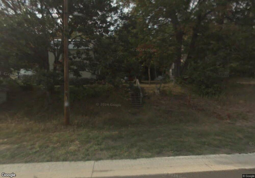
49973 State Highway M26 Hancock, MI 49930
Estimated Value: $72,000 - $149,000
--
Bed
--
Bath
1,232
Sq Ft
$95/Sq Ft
Est. Value
About This Home
This home is located at 49973 State Highway M26, Hancock, MI 49930 and is currently estimated at $116,921, approximately $94 per square foot. 49973 State Highway M26 is a home located in Houghton County with nearby schools including T.R. Davis Elementary School and Dollar Bay Tamarack City Area K12 School.
Ownership History
Date
Name
Owned For
Owner Type
Purchase Details
Closed on
May 31, 2017
Sold by
Matthew Manders
Bought by
Romanski Mark C
Current Estimated Value
Home Financials for this Owner
Home Financials are based on the most recent Mortgage that was taken out on this home.
Original Mortgage
$32,300
Outstanding Balance
$26,874
Interest Rate
4.03%
Mortgage Type
New Conventional
Estimated Equity
$90,047
Purchase Details
Closed on
Jun 1, 2004
Bought by
Manders Matthew
Create a Home Valuation Report for This Property
The Home Valuation Report is an in-depth analysis detailing your home's value as well as a comparison with similar homes in the area
Home Values in the Area
Average Home Value in this Area
Purchase History
| Date | Buyer | Sale Price | Title Company |
|---|---|---|---|
| Romanski Mark C | $34,000 | Keweenaw Title Agcy | |
| Manders Matthew | $12,400 | -- |
Source: Public Records
Mortgage History
| Date | Status | Borrower | Loan Amount |
|---|---|---|---|
| Open | Romanski Mark C | $32,300 |
Source: Public Records
Tax History Compared to Growth
Tax History
| Year | Tax Paid | Tax Assessment Tax Assessment Total Assessment is a certain percentage of the fair market value that is determined by local assessors to be the total taxable value of land and additions on the property. | Land | Improvement |
|---|---|---|---|---|
| 2025 | $1,141 | $54,013 | $0 | $0 |
| 2024 | $699 | $41,272 | $0 | $0 |
| 2023 | $670 | $37,094 | $0 | $0 |
| 2022 | $1,052 | $30,050 | $0 | $0 |
| 2021 | $903 | $30,834 | $0 | $0 |
| 2020 | $891 | $29,424 | $0 | $0 |
| 2019 | $965 | $29,461 | $0 | $0 |
| 2018 | $786 | $28,802 | $0 | $0 |
| 2017 | $292 | $11,221 | $0 | $0 |
| 2016 | -- | $11,221 | $0 | $0 |
| 2015 | -- | $11,221 | $0 | $0 |
| 2014 | -- | $11,221 | $0 | $0 |
Source: Public Records
Map
Nearby Homes
- 50015 & 50027 Highway M26 Rd
- TBD 1 Nightingale Dr
- Lots 2A-2 & 2A- Nightingale Dr
- 25116 Upper Point Mills Rd
- 24411 Upper Point Mills Rd
- 26485 Flood Wood Trail
- Lot 2 Airport Park Rd Unit Co Rd 35B
- 23136 Dogwood Ave
- 48721 6th St
- 52075 D Ave
- 50415 Michigan 26
- tbd M203
- TBD Lake Annie Cross Cut Rd
- Lot 1 Airport Rd Unit Co Rd 35B
- 26916 W 18th St
- 49650 Bootjack Rd
- 50071 Bootjack Rd
- TBD Portage Cove
- 21342 Royce Rd
- TBD B Gorton Rd
- 49973 State Highway M26 Unit Mason
- 49937 State Highway M26
- 49921 State Highway M26
- 49953 St Hwy M 26
- 49953 State Highway M26
- 49987 Michigan 26
- 49938 Michigan 26 Unit Mason
- 49938 State Highway M26
- 49965 State Highway M26
- 49948 Michigan 26
- 49948 State Highway M26
- 49960 State Highway M26
- 49914 State Highway M26
- 49987 State Highway M26
- 50016 Michigan 26
- 26 M
- 49990 State Highway M26
- 49948 N M26
- 49987 M26
- 49973 M26
