49985 Seasand Rd Neskowin, OR 97149
Estimated Value: $1,146,000 - $1,291,000
4
Beds
3
Baths
2,460
Sq Ft
$494/Sq Ft
Est. Value
About This Home
This home is located at 49985 Seasand Rd, Neskowin, OR 97149 and is currently estimated at $1,215,555, approximately $494 per square foot. 49985 Seasand Rd is a home located in Tillamook County with nearby schools including Nestucca K-8 School and Nestucca High School.
Ownership History
Date
Name
Owned For
Owner Type
Purchase Details
Closed on
Dec 16, 2024
Sold by
Levin Ira M and Coltman-Levin Michelle
Bought by
Sms-029 Trust and Shoen
Current Estimated Value
Purchase Details
Closed on
Dec 2, 2014
Sold by
Levin Ira and Levin Michelle
Bought by
The Ira M Levin & Michelle B Coltman Lev
Create a Home Valuation Report for This Property
The Home Valuation Report is an in-depth analysis detailing your home's value as well as a comparison with similar homes in the area
Home Values in the Area
Average Home Value in this Area
Purchase History
| Date | Buyer | Sale Price | Title Company |
|---|---|---|---|
| Sms-029 Trust | $1,242,250 | Ticor Title | |
| Sms-029 Trust | $1,242,250 | Ticor Title | |
| The Ira M Levin & Michelle B Coltman Lev | -- | None Available |
Source: Public Records
Tax History Compared to Growth
Tax History
| Year | Tax Paid | Tax Assessment Tax Assessment Total Assessment is a certain percentage of the fair market value that is determined by local assessors to be the total taxable value of land and additions on the property. | Land | Improvement |
|---|---|---|---|---|
| 2024 | $6,942 | $557,770 | $214,990 | $342,780 |
| 2023 | $6,959 | $541,530 | $208,730 | $332,800 |
| 2022 | $6,713 | $525,760 | $202,650 | $323,110 |
| 2021 | $6,525 | $510,450 | $196,750 | $313,700 |
| 2020 | $6,364 | $495,590 | $191,020 | $304,570 |
| 2019 | $6,231 | $481,160 | $185,460 | $295,700 |
| 2018 | $5,756 | $467,150 | $180,060 | $287,090 |
| 2017 | $5,187 | $453,550 | $174,820 | $278,730 |
| 2016 | $4,781 | $440,340 | $169,730 | $270,610 |
| 2015 | $4,939 | $427,520 | $164,790 | $262,730 |
| 2014 | $4,807 | $415,070 | $159,990 | $255,080 |
| 2013 | -- | $402,990 | $155,330 | $247,660 |
Source: Public Records
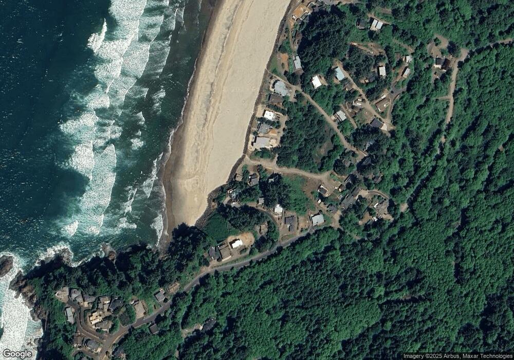
Map
Nearby Homes
- 49855 Seasand Rd
- 50040 S Beach Rd
- 49750 Nescove Dr
- 49400 Blk Nescove Dr Tl303
- TL 4400 Rocky Cove Way
- 53000
- TL 3102 S Beach Rd
- 3102 S Beach Rd
- 54150 S Beach Rd
- 53000 Blk South Beach Road Tl 219
- 48988 S Highway 101 (#338) Hwy
- 49002 U S 101 S
- 55000 Southbeach Ptn Tl300 Rd
- 49002 S Hwy Unit B share B
- 55000 Blk S Beach Rd Ptn Tl 300
- 48988 Highway 101 S Unit 338
- 48988 Highway 101 S Unit 137-F
- 0 Hilltop Ln Unit 704164730
- 4800 Blk Valley View Dr Tl 4000
- 6600 Schoolhouse Rd
- 49995 Seasand Share E
- 49995 Seasand Share D
- 49995 Seasand Share F
- 49995 Seasand Rd
- 49995 Seasand Share H Rd
- 49975 Seasand Rd
- 49976 Seasand Cir
- TL 219 Seasand Cir
- TL 223 Seasand Cir
- 0000 Seasand Cir
- 50001 S Beach Point
- 50001 Southbeach Point
- 50001 S Beach Rd
- 50005 S Beach Point
- 0 5s1136bc 2000 Unit 13000446
- 50007 S Beach Rd
- 49674 Surf Rd
- 0 Seasand
- 0 Seasand
- 50007 S Beach Point