49A Flat Swamp Rd Newtown, CT 06470
Estimated Value: $902,000 - $1,057,000
4
Beds
3
Baths
3,232
Sq Ft
$299/Sq Ft
Est. Value
About This Home
This home is located at 49A Flat Swamp Rd, Newtown, CT 06470 and is currently estimated at $967,677, approximately $299 per square foot. 49A Flat Swamp Rd is a home located in Fairfield County with nearby schools including Head O'Meadow Elementary School, Reed Intermediate School, and Newtown Middle School.
Ownership History
Date
Name
Owned For
Owner Type
Purchase Details
Closed on
May 22, 2015
Sold by
Montgomery David B and Montgomery Ann H
Bought by
Newman Darryl and Mayor Leah
Current Estimated Value
Purchase Details
Closed on
Mar 27, 1996
Sold by
Griffin David
Bought by
Montgomery David and Montgomery Ann
Purchase Details
Closed on
Dec 19, 1995
Sold by
Griffin David
Bought by
Wood Nancy
Create a Home Valuation Report for This Property
The Home Valuation Report is an in-depth analysis detailing your home's value as well as a comparison with similar homes in the area
Home Values in the Area
Average Home Value in this Area
Purchase History
| Date | Buyer | Sale Price | Title Company |
|---|---|---|---|
| Newman Darryl | $550,000 | -- | |
| Newman Darryl | $550,000 | -- | |
| Montgomery David | $120,000 | -- | |
| Montgomery David | $120,000 | -- | |
| Wood Nancy | $100,000 | -- | |
| Wood Nancy | $100,000 | -- |
Source: Public Records
Mortgage History
| Date | Status | Borrower | Loan Amount |
|---|---|---|---|
| Previous Owner | Wood Nancy | $330,000 | |
| Previous Owner | Wood Nancy | $400,000 | |
| Previous Owner | Wood Nancy | $365,000 |
Source: Public Records
Tax History
| Year | Tax Paid | Tax Assessment Tax Assessment Total Assessment is a certain percentage of the fair market value that is determined by local assessors to be the total taxable value of land and additions on the property. | Land | Improvement |
|---|---|---|---|---|
| 2025 | $15,442 | $537,300 | $157,270 | $380,030 |
| 2024 | $14,491 | $537,300 | $157,270 | $380,030 |
| 2023 | $14,099 | $537,300 | $157,270 | $380,030 |
| 2022 | $13,227 | $381,500 | $114,580 | $266,920 |
| 2021 | $13,219 | $381,500 | $114,580 | $266,920 |
| 2020 | $13,261 | $381,500 | $114,580 | $266,920 |
| 2019 | $13,265 | $381,500 | $114,580 | $266,920 |
| 2018 | $13,063 | $381,500 | $114,580 | $266,920 |
| 2017 | $13,914 | $410,800 | $123,050 | $287,750 |
| 2016 | $13,803 | $410,800 | $123,050 | $287,750 |
| 2015 | $13,585 | $410,800 | $123,050 | $287,750 |
| 2014 | -- | $410,800 | $123,050 | $287,750 |
Source: Public Records
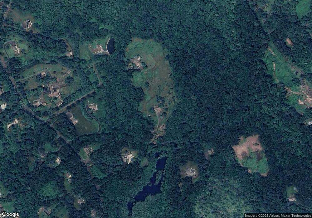
Map
Nearby Homes
- 52 Key Rock Rd
- 16 Cemetery Rd
- 18 N Branch Rd
- 19 Brookwood Dr
- 24 Pleasant Hill Rd
- 14 Merlins Ln
- 73 Dodgingtown Rd
- 6 Katrina Cir
- 109 Codfish Hill Rd
- 62 Codfish Hill Rd
- 9 Katrina Cir
- 92 Head of Meadow Rd
- 36 Shelley Rd
- 31 Oak Ridge Dr
- 18 Head of Meadow Rd
- 62 Linda Ln
- 6 Vona Way
- 4 Stone Dam Rd
- 72 Old Hawleyville Rd
- 4 Nicolina Way
- 49 Flat Swamp Rd
- 45 Flat Swamp Rd
- 53 Flat Swamp Rd
- 51 Flat Swamp Rd
- 47 Flat Swamp Rd
- 43 Flat Swamp Rd
- 55 Flat Swamp Rd
- 41 Flat Swamp Rd
- 19 Cemetery Rd
- 50 Flat Swamp Rd
- 48 Flat Swamp Rd
- 46 Flat Swamp Rd
- 39 Flat Swamp Rd
- 1 Poor House Rd
- 12 Hattertown Rd
- 37 Flat Swamp Rd
- 9 Cemetary Rd
- 10 Hattertown Rd
- 7 Webster Place
- 24 Hattertown Rd
Your Personal Tour Guide
Ask me questions while you tour the home.