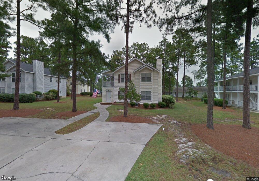
49B Battery Walk Ct Unit 49B Columbia, SC 29212
Saint Andrews NeighborhoodEstimated Value: $110,000 - $141,584
3
Beds
2
Baths
1,629
Sq Ft
$80/Sq Ft
Est. Value
About This Home
This home is located at 49B Battery Walk Ct Unit 49B, Columbia, SC 29212 and is currently estimated at $129,896, approximately $79 per square foot. 49B Battery Walk Ct Unit 49B is a home located in Richland County with nearby schools including Pine Grove Elementary School, St. Andrews Middle School, and Columbia High School.
Ownership History
Date
Name
Owned For
Owner Type
Purchase Details
Closed on
Nov 21, 2018
Sold by
Burgess Barbara G and Burgess Michael K
Bought by
Burgess Barbara G
Current Estimated Value
Purchase Details
Closed on
Dec 18, 2008
Sold by
Burgess Kenneth R and Burgess Barbara G
Bought by
Burgess Kenneth R and Burgess Barbara G
Purchase Details
Closed on
Mar 6, 2007
Sold by
Bonaventures Inc
Bought by
Burgess Kenneth R and Burgess Barbara G
Home Financials for this Owner
Home Financials are based on the most recent Mortgage that was taken out on this home.
Original Mortgage
$66,690
Interest Rate
6.19%
Mortgage Type
Purchase Money Mortgage
Create a Home Valuation Report for This Property
The Home Valuation Report is an in-depth analysis detailing your home's value as well as a comparison with similar homes in the area
Home Values in the Area
Average Home Value in this Area
Purchase History
| Date | Buyer | Sale Price | Title Company |
|---|---|---|---|
| Burgess Barbara G | -- | None Available | |
| Burgess Kenneth R | -- | -- | |
| Burgess Kenneth R | $74,100 | None Available |
Source: Public Records
Mortgage History
| Date | Status | Borrower | Loan Amount |
|---|---|---|---|
| Previous Owner | Burgess Kenneth R | $66,690 |
Source: Public Records
Tax History Compared to Growth
Tax History
| Year | Tax Paid | Tax Assessment Tax Assessment Total Assessment is a certain percentage of the fair market value that is determined by local assessors to be the total taxable value of land and additions on the property. | Land | Improvement |
|---|---|---|---|---|
| 2024 | $2,258 | $71,700 | $0 | $0 |
| 2023 | $2,201 | $0 | $0 | $0 |
| 2022 | $2,018 | $62,300 | $9,000 | $53,300 |
| 2021 | $2,003 | $3,740 | $0 | $0 |
| 2020 | $2,012 | $3,740 | $0 | $0 |
| 2019 | $1,984 | $3,740 | $0 | $0 |
| 2018 | $745 | $2,760 | $0 | $0 |
| 2017 | $731 | $2,760 | $0 | $0 |
| 2016 | $729 | $2,760 | $0 | $0 |
| 2015 | $712 | $2,760 | $0 | $0 |
| 2014 | $694 | $69,100 | $0 | $0 |
| 2013 | -- | $2,760 | $0 | $0 |
Source: Public Records
Map
Nearby Homes
- 45 Battery Walk Ct Unit B
- 131 Heritage Village Ln
- 122 Thorn Tree Ln
- 135 Winding Chestnut Dr
- 137 Winding Chestnut Dr
- 145 Winding Chestnut Dr
- 125 Winding Chestnut Dr
- 122 Winding Chestnut Dr
- 119 Winding Chestnut Dr
- 134 Winding Chestnut Dr
- 124 Winding Chestnut Dr
- 421 Piney Woods Rd
- 9 Tawny Branch Ct
- 5 Tawny Branch Ct
- 1019 Glencroft Dr
- 1034 Tundra Teal Ln
- 1002 Tundra Teal Ln
- 18 Southpine Ct
- Earle Plan at Piney Woods Bluff
- 1032 Tundra Teal Ln
- 49 Battery Walk Ct Unit A
- 49-B Battery Walk Ct
- 49-A Battery Walk Ct
- 49 Battery Walk Ct Unit B
- 49A Battery Walk Ct Unit 49A
- 49 Battery Walk Ct
- 49A Battery Walk Ct Unit A
- 45 Battery Walk Ct
- 45B Battery Walk Ct Unit 45B
- 45 Battery Walk Ct Unit A
- 53 Battery Walk Ct
- 53A Battery Walk Ct Unit 53A
- 53B Battery Walk Ct Unit 53B
- 53 Battery Walk Ct Unit A
- 26B Cutlers Ct
- 17B Battery Walk Ct Unit 17B
- 14 Prices Ct
- 14 Prices Ct Unit 14A
- 14B Prices Ct
- 14 Prices Ct Unit A