49W151 Deer Ridge Path Big Rock, IL 60511
Estimated Value: $531,000 - $683,181
4
Beds
3
Baths
4,082
Sq Ft
$150/Sq Ft
Est. Value
About This Home
This home is located at 49W151 Deer Ridge Path, Big Rock, IL 60511 and is currently estimated at $614,045, approximately $150 per square foot. 49W151 Deer Ridge Path is a home located in Kane County with nearby schools including Hinckley-Big Rock Elementary School and Hinckley-Big Rock High School.
Ownership History
Date
Name
Owned For
Owner Type
Purchase Details
Closed on
Sep 16, 2002
Sold by
Meinhart Kenneth L and Meinhart Sandra K
Bought by
Atra Robert J and Atra Kristy R
Current Estimated Value
Home Financials for this Owner
Home Financials are based on the most recent Mortgage that was taken out on this home.
Original Mortgage
$200,000
Outstanding Balance
$74,432
Interest Rate
4.75%
Estimated Equity
$539,613
Create a Home Valuation Report for This Property
The Home Valuation Report is an in-depth analysis detailing your home's value as well as a comparison with similar homes in the area
Home Values in the Area
Average Home Value in this Area
Purchase History
| Date | Buyer | Sale Price | Title Company |
|---|---|---|---|
| Atra Robert J | $286,000 | Chicago Title Insurance Co |
Source: Public Records
Mortgage History
| Date | Status | Borrower | Loan Amount |
|---|---|---|---|
| Open | Atra Robert J | $200,000 |
Source: Public Records
Tax History Compared to Growth
Tax History
| Year | Tax Paid | Tax Assessment Tax Assessment Total Assessment is a certain percentage of the fair market value that is determined by local assessors to be the total taxable value of land and additions on the property. | Land | Improvement |
|---|---|---|---|---|
| 2024 | $12,223 | $194,825 | $29,985 | $164,840 |
| 2023 | $11,736 | $179,795 | $27,672 | $152,123 |
| 2022 | $11,516 | $168,679 | $25,961 | $142,718 |
| 2021 | $11,742 | $158,503 | $24,395 | $134,108 |
| 2020 | $11,511 | $153,084 | $23,561 | $129,523 |
| 2019 | $11,031 | $145,503 | $22,394 | $123,109 |
| 2018 | $11,449 | $143,054 | $21,589 | $121,465 |
| 2017 | $11,052 | $135,288 | $20,417 | $114,871 |
| 2016 | $10,698 | $126,100 | $20,417 | $105,683 |
| 2015 | -- | $118,316 | $20,086 | $98,230 |
| 2014 | -- | $116,086 | $20,086 | $96,000 |
| 2013 | -- | $119,356 | $20,652 | $98,704 |
Source: Public Records
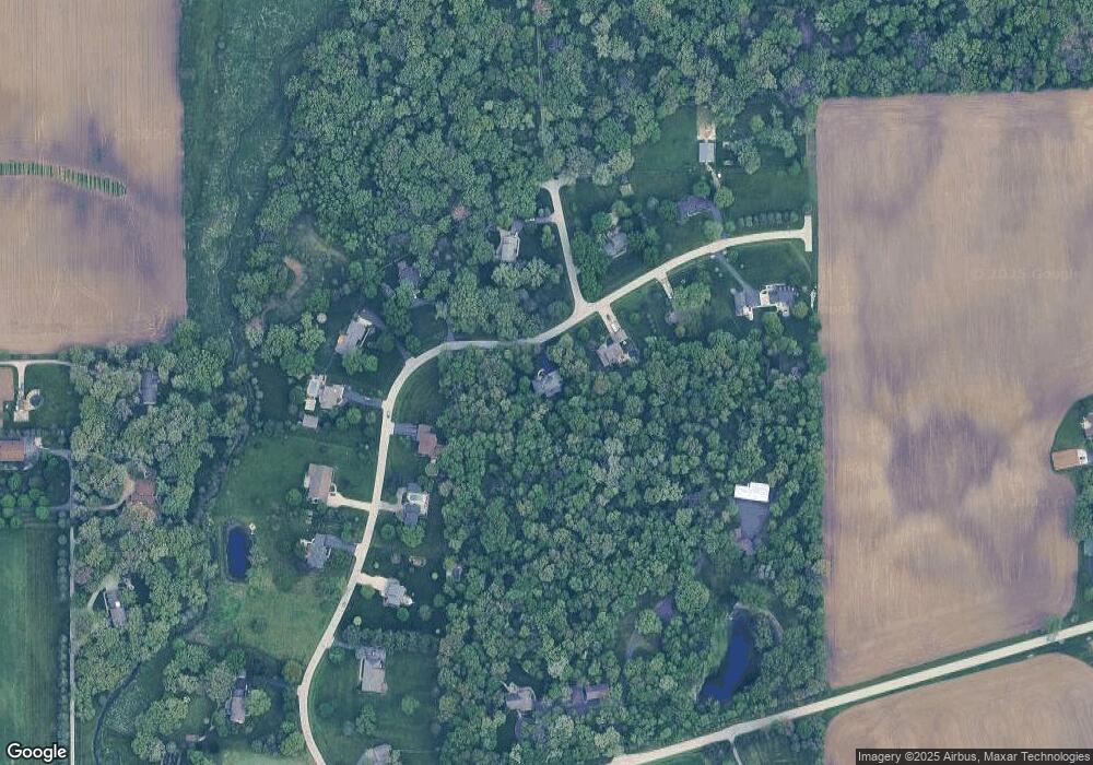
Map
Nearby Homes
- 17751 Scott Rd
- 204 S Lincoln Ave
- 307 Jefferson Ave
- 10266 Pritchard Rd
- 640 Coster Ct
- 670 Rustic Way
- 527 Prairie St
- 631 Rustic Way
- 230 Christensen St
- 320 Harvest Ave
- 210 Christensen St
- 621 N Oak St
- 170 Christensen St
- 150 Christensen St
- 520 N Oak St
- 541 N Oak St
- 408 E Lincoln Ave
- 140 Prairie St
- Starling Plan at Royal Estates
- Wren Plan at Royal Estates
- 49W105 Deer Ridge Path
- 5S206 Whitetail Path
- 4 Deer Ridge Path
- 1 Deer Ridge Path
- 49W194 Deer Ridge Path
- 5S189 Whitetail Path
- 5S331 Deer Ridge Path
- Lot Deer Ridge Path
- 49W071 Deer Ridge Path
- Lot 4 Deer Ridge Path
- 05S390 Deer Ridge Path
- Lot 1 Deer Ridge Path
- 5S260 Deer Ridge Path
- 0 Deer Ridge Path
- 0 Deer Ridge Path Unit 8847884
- 5S280 Deer Ridge Path
- 5S375 Deer Ridge Path
- 49W021 Deer Ridge Path
- 49W020 Scott Rd
- 5S310 Deer Ridge Path