49W396 Scott Rd Big Rock, IL 60511
Estimated Value: $714,000 - $965,344
4
Beds
3
Baths
5,190
Sq Ft
$167/Sq Ft
Est. Value
About This Home
This home is located at 49W396 Scott Rd, Big Rock, IL 60511 and is currently estimated at $865,586, approximately $166 per square foot. 49W396 Scott Rd is a home located in Kane County with nearby schools including Hinckley-Big Rock Elementary School and Hinckley-Big Rock High School.
Ownership History
Date
Name
Owned For
Owner Type
Purchase Details
Closed on
Sep 18, 2019
Sold by
Scott Bradley J and Scott Joan C
Bought by
Scott Joan and Joan Scott Revocable Trust
Current Estimated Value
Purchase Details
Closed on
Nov 1, 2011
Sold by
Chicago Title Land Trust Company
Bought by
Scott Bradley J and Scott Joan C
Home Financials for this Owner
Home Financials are based on the most recent Mortgage that was taken out on this home.
Original Mortgage
$392,000
Outstanding Balance
$39,646
Interest Rate
4.02%
Mortgage Type
New Conventional
Estimated Equity
$825,940
Create a Home Valuation Report for This Property
The Home Valuation Report is an in-depth analysis detailing your home's value as well as a comparison with similar homes in the area
Home Values in the Area
Average Home Value in this Area
Purchase History
| Date | Buyer | Sale Price | Title Company |
|---|---|---|---|
| Scott Joan | -- | Attorney | |
| Scott Bradley J | $490,000 | First American Title |
Source: Public Records
Mortgage History
| Date | Status | Borrower | Loan Amount |
|---|---|---|---|
| Open | Scott Bradley J | $392,000 |
Source: Public Records
Tax History
| Year | Tax Paid | Tax Assessment Tax Assessment Total Assessment is a certain percentage of the fair market value that is determined by local assessors to be the total taxable value of land and additions on the property. | Land | Improvement |
|---|---|---|---|---|
| 2024 | $18,802 | $283,080 | $101,223 | $181,857 |
| 2023 | $18,144 | $261,241 | $93,414 | $167,827 |
| 2022 | $17,461 | $245,090 | $87,639 | $157,451 |
| 2021 | $17,856 | $230,304 | $82,352 | $147,952 |
| 2020 | $17,534 | $222,430 | $79,536 | $142,894 |
| 2019 | $16,846 | $211,415 | $75,597 | $135,818 |
| 2018 | $16,552 | $196,917 | $72,879 | $124,038 |
| 2017 | $16,026 | $186,228 | $68,923 | $117,305 |
| 2016 | $16,184 | $180,133 | $68,923 | $111,210 |
| 2015 | -- | $164,409 | $67,804 | $96,605 |
| 2014 | -- | $162,806 | $73,614 | $89,192 |
| 2013 | -- | $150,170 | $75,688 | $74,482 |
Source: Public Records
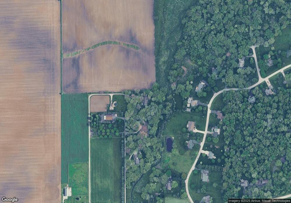
Map
Nearby Homes
- 49W412 Scott Rd
- 5S430 Deer Ridge Path
- 49W330 Scott Rd
- 5S350 Deer Ridge Path
- 5S310 Deer Ridge Path
- 49W440 Scott Rd
- 49w Scott Rd
- 5S375 Deer Ridge Path
- 5S280 Deer Ridge Path
- Lot 4 Deer Ridge Path
- 05S390 Deer Ridge Path
- Lot 1 Deer Ridge Path
- Lot Deer Ridge Path
- 5S425 Deer Ridge Path
- 49W476 Scott Rd
- 5S331 Deer Ridge Path
- 5S471 Deer Ridge Path
- 5S260 Deer Ridge Path
- 4 Deer Ridge Path
- 1 Deer Ridge Path
Your Personal Tour Guide
Ask me questions while you tour the home.