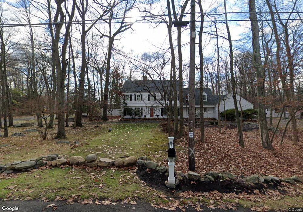
4A Maplecrest Dr Danbury, CT 06811
Estimated Value: $812,414 - $934,000
5
Beds
6
Baths
3,272
Sq Ft
$270/Sq Ft
Est. Value
About This Home
This home is located at 4A Maplecrest Dr, Danbury, CT 06811 and is currently estimated at $882,354, approximately $269 per square foot. 4A Maplecrest Dr is a home located in Fairfield County with nearby schools including Mill Ridge Primary School, Rogers Park Middle School, and Danbury High School.
Ownership History
Date
Name
Owned For
Owner Type
Purchase Details
Closed on
Aug 7, 2003
Sold by
Gressett Geroge and Gressett Blanche
Bought by
Rizk Mostafa and Rizk Lynne
Current Estimated Value
Create a Home Valuation Report for This Property
The Home Valuation Report is an in-depth analysis detailing your home's value as well as a comparison with similar homes in the area
Home Values in the Area
Average Home Value in this Area
Purchase History
| Date | Buyer | Sale Price | Title Company |
|---|---|---|---|
| Rizk Mostafa | $580,000 | -- |
Source: Public Records
Mortgage History
| Date | Status | Borrower | Loan Amount |
|---|---|---|---|
| Closed | Rizk Mostafa | $542,000 | |
| Closed | Rizk Mostafa | $549,550 | |
| Closed | Rizk Mostafa | $83,000 |
Source: Public Records
Tax History
| Year | Tax Paid | Tax Assessment Tax Assessment Total Assessment is a certain percentage of the fair market value that is determined by local assessors to be the total taxable value of land and additions on the property. | Land | Improvement |
|---|---|---|---|---|
| 2025 | $11,150 | $446,180 | $121,310 | $324,870 |
| 2024 | $10,905 | $446,180 | $121,310 | $324,870 |
| 2023 | $10,409 | $446,180 | $121,310 | $324,870 |
| 2022 | $9,465 | $335,400 | $121,600 | $213,800 |
| 2021 | $10,108 | $335,500 | $121,600 | $213,900 |
| 2020 | $9,260 | $335,500 | $121,600 | $213,900 |
| 2019 | $9,260 | $335,500 | $121,600 | $213,900 |
| 2018 | $9,260 | $335,500 | $121,600 | $213,900 |
| 2017 | $9,377 | $323,900 | $115,800 | $208,100 |
| 2016 | $9,289 | $323,900 | $115,800 | $208,100 |
| 2015 | $9,153 | $323,900 | $115,800 | $208,100 |
| 2014 | $8,940 | $323,900 | $115,800 | $208,100 |
Source: Public Records
Map
Nearby Homes
- 15 Lindencrest Dr
- 6 Joes Hill Rd
- 34 Lindencrest Dr
- 15 Driftway Point Rd
- 148 Middle River Rd
- 85 Winding Ridge Way Unit 85
- 24 Greenlawn Dr
- 31 Greenlawn Dr
- 23 Putnam Ln Unit 23
- 803 Larson Dr Unit 803
- 131 Winding Ridge Way Unit 131
- 40 Middle River Rd
- 22 Driftway Rd
- 55 Mill Plain Rd Unit 17-6
- 20 Driftway Rd
- 187-189 Middle River Rd
- 15 Lockwood Dr Unit Lot 51
- 15 Lockwood Dr
- 13 Mercy St Unit 13
- 9 Lockwood Dr Unit Lot 48
- 4 Maplecrest Dr
- 6 Maplecrest Dr
- 3 Maplecrest Dr
- 1 Maplewood Dr
- 1 Maplecrest Dr
- 1A Maplecrest Dr
- 5 Maplecrest Dr
- 2 Maplewood Dr
- 25 Maplewood Dr
- 3 Maplewood Dr
- 8 Maplecrest Dr
- 27 Maplewood Dr
- 42 Aunt Hack Rd
- 44 Aunt Hack Rd
- 23 Maplewood Dr
- 48 Aunt Hack Rd
- 4 Maplewood Dr
- 40 Aunt Hack Rd
- 29 Maplewood Dr
- 5 Maplewood Dr
Your Personal Tour Guide
Ask me questions while you tour the home.