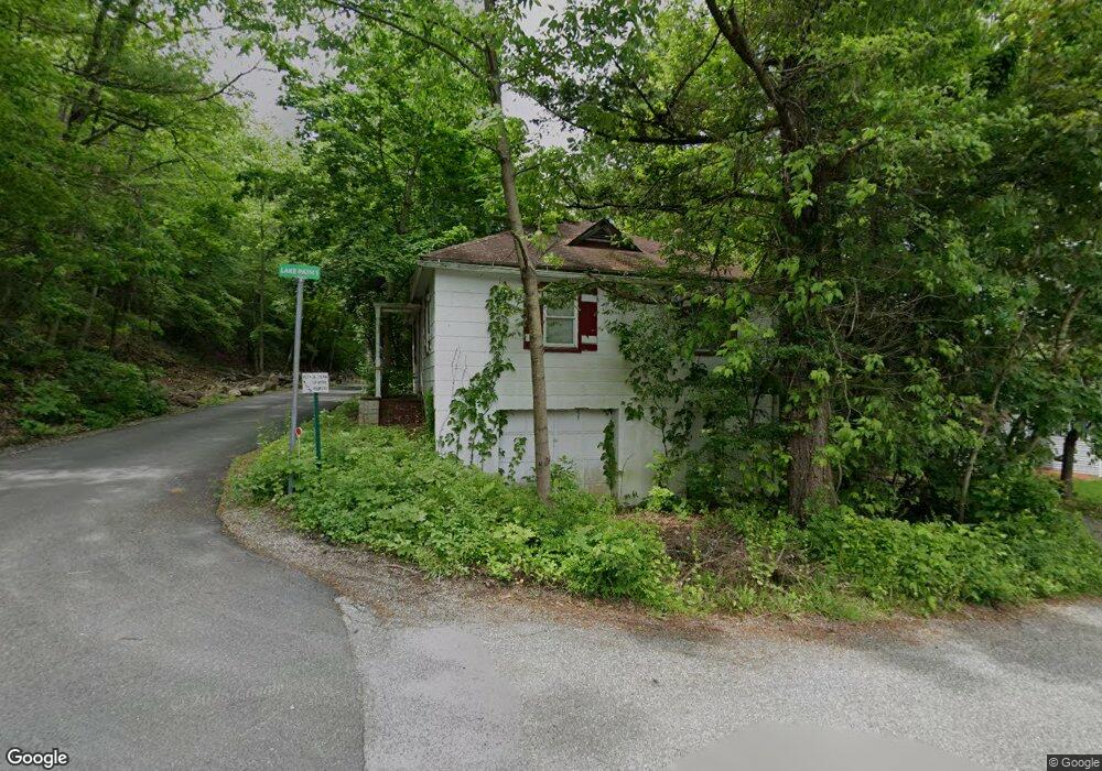
4A Mountain Trail Sandyston, NJ 07826
Estimated Value: $206,000 - $318,940
Studio
--
Bath
1,411
Sq Ft
$190/Sq Ft
Est. Value
About This Home
This home is located at 4A Mountain Trail, Sandyston, NJ 07826 and is currently estimated at $267,485, approximately $189 per square foot. 4A Mountain Trail is a home located in Sussex County with nearby schools including Sandyston-Walpack Consolidated School and Kittatinny Regional High School.
Ownership History
Date
Name
Owned For
Owner Type
Purchase Details
Closed on
Jul 12, 2017
Sold by
Ward Rodney L and Ward Linda L
Bought by
Relco Enterprises Llc
Current Estimated Value
Purchase Details
Closed on
Apr 7, 2004
Sold by
Ward Rodney L and Ward Linda L
Bought by
Ward Rodney L and Ward Linda L
Purchase Details
Closed on
Apr 1, 1997
Sold by
Hoffman Arlene and Swaszek Sigue
Bought by
Ward Rodney L and Ward Linda L
Create a Home Valuation Report for This Property
The Home Valuation Report is an in-depth analysis detailing your home's value as well as a comparison with similar homes in the area
Home Values in the Area
Average Home Value in this Area
Purchase History
| Date | Buyer | Sale Price | Title Company |
|---|---|---|---|
| Relco Enterprises Llc | $50,000 | Multiple | |
| Ward Rodney L | -- | -- | |
| Kittatinny Lake Club Inc | -- | -- | |
| Ward Rodney L | $50,000 | -- |
Source: Public Records
Tax History
| Year | Tax Paid | Tax Assessment Tax Assessment Total Assessment is a certain percentage of the fair market value that is determined by local assessors to be the total taxable value of land and additions on the property. | Land | Improvement |
|---|---|---|---|---|
| 2025 | $4,234 | $134,000 | $63,800 | $70,200 |
| 2024 | $4,106 | $134,000 | $63,800 | $70,200 |
Source: Public Records
Map
Nearby Homes
- 4 Lake Path 1
- 422 U S Highway 206
- 38 Mountain Trail
- 9 Woods Rd
- 4 Henry St
- 7 Laurel Ave
- 196 W Owassa Turnpike
- 19 E Shore Lake Owassa Rd
- 25 E Shore Lake Owassa Rd
- 30 & 31 E Shore Culver Rd
- 127 E Shore Culver Rd
- 61 E Shore Lake Owassa Rd
- 10 Lakewood Trail
- 40 Martin Ln
- 120 Ridge Rd
- 7 Stempert Rd
- 17 Stempert Rd
- 239 E Shore Lake Owassa Rd
- 158 Upper North Shore Rd
- 64 Mattison Rd
- 4 Mountain Trail
- 2 Lake Path 1
- 5 E Shore Trail
- 7 Mountain Trail
- 4 E Shore Trail
- 6 E Shore Trail
- 3 Lake Path 1
- 1 Lake Path 1
- 5 Lake Path 1
- 9 Mountain Trail
- 7 E Shore Trail
- 2 Mountain Trail
- 8 E Shore Trail
- 2 E Shore Trail
- 11 Mountain Trail
- 17 Us Highway 206 S
- 10 E Shore Trail
- 10 Mountain Trail
- 15 U S 206
- 15 U S 206 Unit 15
Your Personal Tour Guide
Ask me questions while you tour the home.