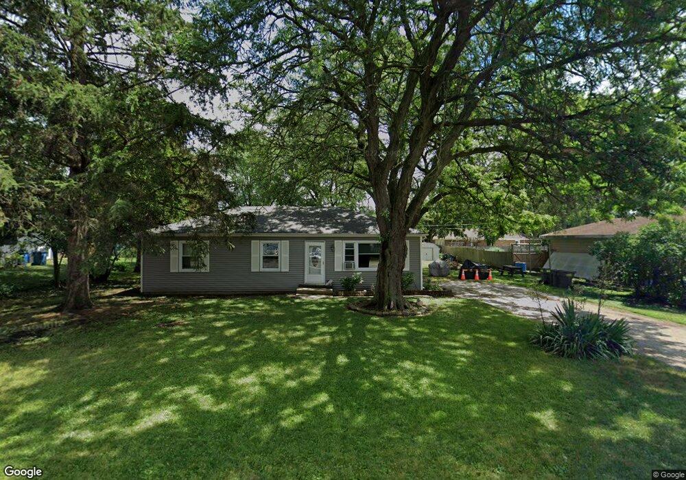
4N137 Nugent St Addison, IL 60101
Estimated Value: $249,323 - $286,000
--
Bed
--
Bath
1,056
Sq Ft
$257/Sq Ft
Est. Value
About This Home
This home is located at 4N137 Nugent St, Addison, IL 60101 and is currently estimated at $271,081, approximately $256 per square foot. 4N137 Nugent St is a home located in DuPage County with nearby schools including Fullerton Elementary School, Indian Trail Jr High School, and Addison Trail High School.
Ownership History
Date
Name
Owned For
Owner Type
Purchase Details
Closed on
Oct 23, 2000
Sold by
Tong Jacqueline M and Supsic Jacqueline M
Bought by
Garcia Ruth and Garcia Eleazar
Current Estimated Value
Home Financials for this Owner
Home Financials are based on the most recent Mortgage that was taken out on this home.
Original Mortgage
$116,565
Outstanding Balance
$42,328
Interest Rate
7.86%
Mortgage Type
FHA
Estimated Equity
$228,753
Create a Home Valuation Report for This Property
The Home Valuation Report is an in-depth analysis detailing your home's value as well as a comparison with similar homes in the area
Home Values in the Area
Average Home Value in this Area
Purchase History
| Date | Buyer | Sale Price | Title Company |
|---|---|---|---|
| Garcia Ruth | $120,000 | -- |
Source: Public Records
Mortgage History
| Date | Status | Borrower | Loan Amount |
|---|---|---|---|
| Open | Garcia Ruth | $116,565 |
Source: Public Records
Tax History Compared to Growth
Tax History
| Year | Tax Paid | Tax Assessment Tax Assessment Total Assessment is a certain percentage of the fair market value that is determined by local assessors to be the total taxable value of land and additions on the property. | Land | Improvement |
|---|---|---|---|---|
| 2024 | $3,610 | $68,119 | $39,455 | $28,664 |
| 2023 | $3,422 | $62,620 | $36,270 | $26,350 |
| 2022 | $3,509 | $62,310 | $36,090 | $26,220 |
| 2021 | $3,343 | $59,680 | $34,570 | $25,110 |
| 2020 | $3,237 | $57,160 | $33,110 | $24,050 |
| 2019 | $3,241 | $54,960 | $31,840 | $23,120 |
| 2018 | $3,269 | $53,370 | $30,920 | $22,450 |
| 2017 | $3,188 | $51,010 | $29,550 | $21,460 |
| 2016 | $3,085 | $47,090 | $27,280 | $19,810 |
| 2015 | $3,001 | $43,500 | $25,200 | $18,300 |
| 2014 | $3,149 | $44,880 | $23,100 | $21,780 |
| 2013 | $3,099 | $45,790 | $23,570 | $22,220 |
Source: Public Records
Map
Nearby Homes
- 19W068 E North Ave
- 133 E Lake St
- 641 N Highview Ave
- 238 N Hillcrest Ave
- 3N750 Wood Dale Rd
- 310 N Hillcrest Ave
- 2 N Wisconsin Ave
- 200 Addison Rd
- 10 N Adams Dr
- 427 W Natoma Ave
- 235 N Mill Rd Unit 115B
- 17W525 White Pine Rd
- 351 S Dominion Dr
- 550 E Lake St
- 465 W Dominion Dr Unit 1302
- 465 W Dominion Dr Unit 1001
- 387 Masters Dr
- 542 W Memory Ln
- 305 E Normandy Dr
- 329 Masters Dr
- 4N121 Nugent St
- 4N136 Nugent St
- 4N145 Nugent St
- 4n120 Nugent St
- 4N134 N Chestnut St
- 18W334 Stone Ave
- 4N146 Nugent St
- 4N144 N Chestnut St
- 18W360 Stone Ave
- 4N106 N Chestnut St
- 4N160 N Chestnut St
- 4N120 N Chestnut St
- 4N170 N Chestnut St
- 4N115 Addison Rd
- 4n115 Addison Rd
- 4N176 Nugent St
- 4N171 Nugent St
- 4n161 Addison Rd
- 527 N Chestnut St
- 18W333 Stone Ave