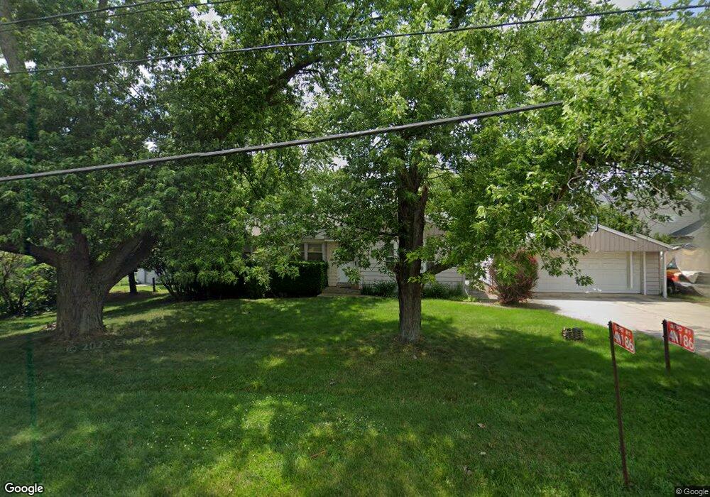
4N186 Swift Rd Addison, IL 60101
Estimated Value: $326,368 - $367,000
3
Beds
1
Bath
1,088
Sq Ft
$316/Sq Ft
Est. Value
About This Home
This home is located at 4N186 Swift Rd, Addison, IL 60101 and is currently estimated at $343,342, approximately $315 per square foot. 4N186 Swift Rd is a home located in DuPage County with nearby schools including Marquardt Middle School, Glenbard East High School, and St Philip The Apostle School.
Ownership History
Date
Name
Owned For
Owner Type
Purchase Details
Closed on
Jun 30, 2006
Sold by
Hiestand Mary E
Bought by
Wilson Neil and Wilson Stefanie
Current Estimated Value
Home Financials for this Owner
Home Financials are based on the most recent Mortgage that was taken out on this home.
Original Mortgage
$180,000
Outstanding Balance
$107,039
Interest Rate
6.68%
Mortgage Type
Purchase Money Mortgage
Estimated Equity
$236,303
Create a Home Valuation Report for This Property
The Home Valuation Report is an in-depth analysis detailing your home's value as well as a comparison with similar homes in the area
Home Values in the Area
Average Home Value in this Area
Purchase History
| Date | Buyer | Sale Price | Title Company |
|---|---|---|---|
| Wilson Neil | $225,000 | Git |
Source: Public Records
Mortgage History
| Date | Status | Borrower | Loan Amount |
|---|---|---|---|
| Open | Wilson Neil | $180,000 |
Source: Public Records
Tax History
| Year | Tax Paid | Tax Assessment Tax Assessment Total Assessment is a certain percentage of the fair market value that is determined by local assessors to be the total taxable value of land and additions on the property. | Land | Improvement |
|---|---|---|---|---|
| 2024 | $6,147 | $84,703 | $24,746 | $59,957 |
| 2023 | $5,712 | $77,460 | $22,630 | $54,830 |
| 2022 | $5,764 | $72,390 | $22,480 | $49,910 |
| 2021 | $5,639 | $68,780 | $21,360 | $47,420 |
| 2020 | $5,291 | $67,100 | $20,840 | $46,260 |
| 2019 | $5,069 | $64,480 | $20,030 | $44,450 |
| 2018 | $5,899 | $68,500 | $19,510 | $48,990 |
| 2017 | $5,590 | $63,490 | $18,080 | $45,410 |
| 2016 | $5,329 | $58,760 | $16,730 | $42,030 |
| 2015 | $5,218 | $54,830 | $15,610 | $39,220 |
| 2014 | $4,812 | $50,580 | $15,090 | $35,490 |
| 2013 | $4,878 | $52,310 | $15,610 | $36,700 |
Source: Public Records
Map
Nearby Homes
- 865 N Tamarac Blvd
- 941 N Swift Rd Unit 302
- 881 N Swift Rd Unit 206
- 823 N Harrow Ct
- 971 N Rohlwing Rd Unit GB
- 1770 W Windmill Ct
- 953 N Rohlwing Rd Unit GB
- 940 N Rohlwing Rd Unit 201A
- 20W561 Army Trail Blvd
- 551 N Plamondon Dr
- 1651 W Goldengate Dr
- 3N662 Elizabeth St
- 360 Erie Cir
- 20W371 Diversey Ave
- 1354 W Byron Ave Unit D
- 246 Tamarack Dr
- 231 Hedgerow Dr
- 5N210 Central Rd
- 1306 W Byron Ave
- 1210 N Foxdale Dr Unit 109
- 4N172 Swift Rd
- 2109 W Silverleaf Ct
- 2111 W Silverleaf Ct
- 2105 W Silverleaf Ct
- 2103 W Silverleaf Ct
- 2113 W Silverleaf Ct
- 4N160 Swift Rd
- 2115 W Silverleaf Ct
- 2101 W Silverleaf Ct
- 4N181 Robbie Ln
- 2119 W Silverleaf Ct
- 605 N Swift Rd
- 4N155 Robbie Ln
- 2103 Silver Leaf Ln
- 2131 W Silverleaf Ln
- 2137 W Silverleaf Ln
- 4N130 Swift Rd
- 2141 W Silverleaf Ln
- 2112 W Silverleaf Ln
- 2110 W Silverleaf Ln
Your Personal Tour Guide
Ask me questions while you tour the home.