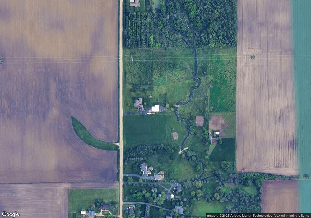
4S327 Florence Rd Big Rock, IL 60511
Estimated Value: $476,000 - $1,000,000
4
Beds
3
Baths
2,156
Sq Ft
$305/Sq Ft
Est. Value
About This Home
This home is located at 4S327 Florence Rd, Big Rock, IL 60511 and is currently estimated at $656,637, approximately $304 per square foot. 4S327 Florence Rd is a home with nearby schools including Hinckley-Big Rock Elementary School and Hinckley-Big Rock High School.
Ownership History
Date
Name
Owned For
Owner Type
Purchase Details
Closed on
Jun 30, 2015
Sold by
Hoffman Jeffrey J and Hoffman Judy M
Bought by
Donnell Matthew E O and Donnell Jennifer S O
Current Estimated Value
Home Financials for this Owner
Home Financials are based on the most recent Mortgage that was taken out on this home.
Original Mortgage
$416,000
Outstanding Balance
$324,372
Interest Rate
3.86%
Mortgage Type
New Conventional
Estimated Equity
$332,265
Create a Home Valuation Report for This Property
The Home Valuation Report is an in-depth analysis detailing your home's value as well as a comparison with similar homes in the area
Home Values in the Area
Average Home Value in this Area
Purchase History
| Date | Buyer | Sale Price | Title Company |
|---|---|---|---|
| Donnell Matthew E O | $570,000 | Chicago Title Insurance Co |
Source: Public Records
Mortgage History
| Date | Status | Borrower | Loan Amount |
|---|---|---|---|
| Open | Donnell Matthew E O | $416,000 |
Source: Public Records
Tax History Compared to Growth
Tax History
| Year | Tax Paid | Tax Assessment Tax Assessment Total Assessment is a certain percentage of the fair market value that is determined by local assessors to be the total taxable value of land and additions on the property. | Land | Improvement |
|---|---|---|---|---|
| 2024 | $8,001 | $125,051 | $27,824 | $97,227 |
| 2023 | $7,716 | $115,688 | $25,561 | $90,127 |
| 2022 | $7,501 | $108,704 | $23,828 | $84,876 |
| 2021 | $7,667 | $102,312 | $22,243 | $80,069 |
| 2020 | $7,518 | $98,794 | $21,285 | $77,509 |
| 2019 | $7,218 | $94,009 | $20,081 | $73,928 |
| 2018 | $7,339 | $90,651 | $19,194 | $71,457 |
| 2017 | $7,103 | $85,887 | $18,027 | $67,860 |
| 2016 | $7,130 | $82,716 | $17,840 | $64,876 |
| 2015 | -- | $75,749 | $17,398 | $58,351 |
| 2014 | -- | $74,369 | $17,279 | $57,090 |
| 2013 | -- | $76,222 | $17,670 | $58,552 |
Source: Public Records
Map
Nearby Homes
- 2S234 Harter Rd
- 2S114 Harter Rd
- 204 S Lincoln Ave
- 307 Jefferson Ave
- 17751 Scott Rd
- 000 Finley Rd
- 44W099 Finley Rd
- 10266 Pritchard Rd
- 43W690 Marian Cir
- 1650 Highway 30
- 0N119 Dauberman Rd
- 43W714 Willow Creek Ct Unit 4
- 126 S Sugar Grove Pkwy
- 640 Coster Ct
- 670 Rustic Way
- 527 Prairie St
- 631 Rustic Way
- 320 Harvest Ave
- 230 Christensen St
- 210 Christensen St
- 4S511 Florence Rd
- 4S519 Florence Rd
- 4S523 Florence Rd
- 4S203 Florence Rd
- 4S558 Florence Rd
- 48W020 Florence Rd
- 48W151 Lasher Rd
- 47W481 Lasher Rd
- 47W990 Lasher Rd
- 48W450 Lasher Rd
- 48W673 Lasher Rd
- 49W393 Lasher Rd
- 47W725 Scott Rd
- 47W532 Scott Rd
- 48W565 Lasher Rd
- 48W020 Scott Rd
- 45W806 Scott Rd
- 47W221 Lasher Rd
- 49W275 Scott Rd
- 48W220 Scott Rd
