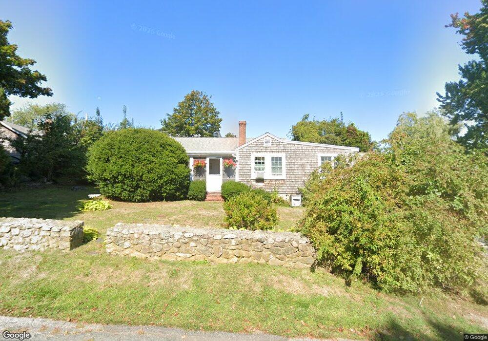
5 10th Ave Scituate, MA 02066
Estimated Value: $623,956 - $721,000
3
Beds
1
Bath
962
Sq Ft
$697/Sq Ft
Est. Value
About This Home
This home is located at 5 10th Ave, Scituate, MA 02066 and is currently estimated at $670,489, approximately $696 per square foot. 5 10th Ave is a home located in Plymouth County with nearby schools including Wampatuck Elementary School, Lester J. Gates Middle School, and Scituate High School.
Create a Home Valuation Report for This Property
The Home Valuation Report is an in-depth analysis detailing your home's value as well as a comparison with similar homes in the area
Home Values in the Area
Average Home Value in this Area
Tax History
| Year | Tax Paid | Tax Assessment Tax Assessment Total Assessment is a certain percentage of the fair market value that is determined by local assessors to be the total taxable value of land and additions on the property. | Land | Improvement |
|---|---|---|---|---|
| 2025 | $5,184 | $518,900 | $406,000 | $112,900 |
| 2024 | $5,023 | $484,800 | $369,100 | $115,700 |
| 2023 | $4,895 | $443,300 | $335,500 | $107,800 |
| 2022 | $4,895 | $387,900 | $284,900 | $103,000 |
| 2021 | $4,823 | $361,800 | $271,300 | $90,500 |
| 2020 | $4,680 | $346,700 | $260,800 | $85,900 |
| 2019 | $4,672 | $340,000 | $255,700 | $84,300 |
| 2018 | $4,613 | $330,700 | $257,400 | $73,300 |
| 2017 | $4,509 | $320,000 | $246,700 | $73,300 |
| 2016 | $4,221 | $298,500 | $225,200 | $73,300 |
| 2015 | $3,770 | $287,800 | $214,500 | $73,300 |
Source: Public Records
Map
Nearby Homes
- 92 Marion Rd
- 33 Oceanside Dr
- 23 Oceanside Dr
- 86 Hatherly Rd
- 32 Barker Rd Unit 3
- 38 Lauren Ln
- 11 Brookline Rd
- 49 Jackson Rd
- 20 Lee Ave
- 1 Washington Ln
- 46 Tilden Rd
- 20 Lawson Rd
- 25 Morton Place
- 74 Branch St Unit 15
- 54 Woodland Rd
- 91 Front St Unit 106
- 23 Sunset Rd
- 50 First Parish Rd
- 59 Captain Peirce Rd
- 34 Cudworth Rd
Your Personal Tour Guide
Ask me questions while you tour the home.