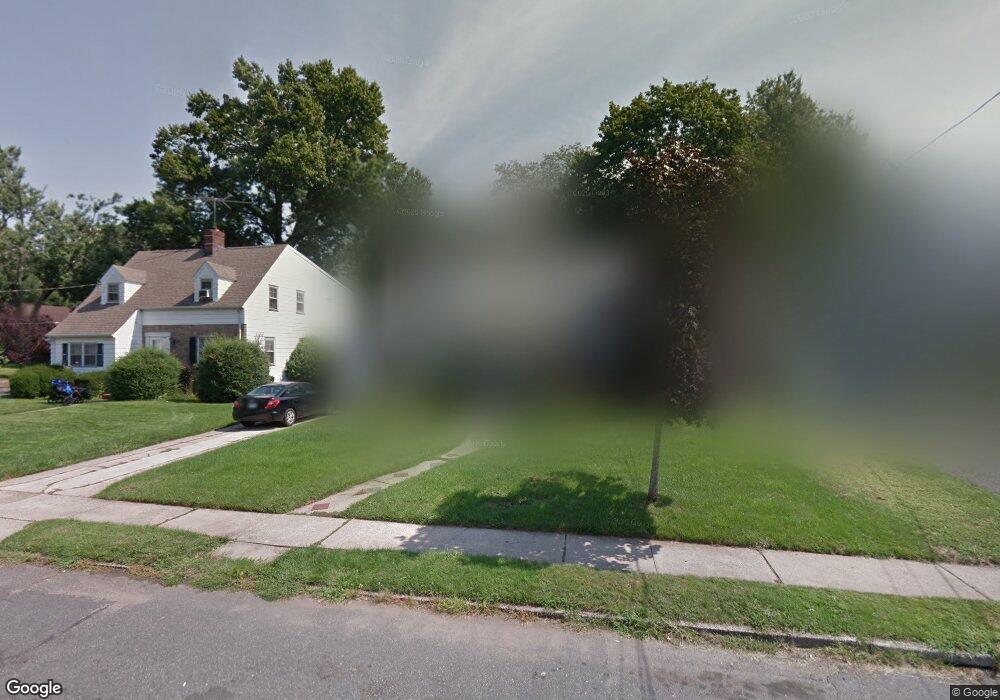
5-15 Lyncrest Ave Unit 1X Fair Lawn, NJ 07410
Estimated Value: $844,000 - $990,000
7
Beds
4
Baths
1,957
Sq Ft
$470/Sq Ft
Est. Value
About This Home
This home is located at 5-15 Lyncrest Ave Unit 1X, Fair Lawn, NJ 07410 and is currently estimated at $920,537, approximately $470 per square foot. 5-15 Lyncrest Ave Unit 1X is a home located in Bergen County with nearby schools including Lyncrest Elementary School, Memorial Middle School, and Fair Lawn High School.
Ownership History
Date
Name
Owned For
Owner Type
Purchase Details
Closed on
Aug 20, 2021
Sold by
Cohen Nehama and Zofan Doron M
Bought by
Zeitz Andrew and Zeitz Michelle
Current Estimated Value
Home Financials for this Owner
Home Financials are based on the most recent Mortgage that was taken out on this home.
Original Mortgage
$544,000
Outstanding Balance
$493,166
Interest Rate
2.7%
Mortgage Type
New Conventional
Estimated Equity
$427,371
Purchase Details
Closed on
Jun 28, 2011
Sold by
Kleeblatt Michael and Kleeblatt Norman
Bought by
Cohen Nehama and Zofan Doron M
Home Financials for this Owner
Home Financials are based on the most recent Mortgage that was taken out on this home.
Original Mortgage
$300,000
Interest Rate
4.58%
Mortgage Type
Purchase Money Mortgage
Create a Home Valuation Report for This Property
The Home Valuation Report is an in-depth analysis detailing your home's value as well as a comparison with similar homes in the area
Home Values in the Area
Average Home Value in this Area
Purchase History
| Date | Buyer | Sale Price | Title Company |
|---|---|---|---|
| Zeitz Andrew | $680,000 | Carnegie Title Llc | |
| Cohen Nehama | $375,000 | -- |
Source: Public Records
Mortgage History
| Date | Status | Borrower | Loan Amount |
|---|---|---|---|
| Open | Zeitz Andrew | $544,000 | |
| Previous Owner | Cohen Nehama | $300,000 |
Source: Public Records
Tax History Compared to Growth
Tax History
| Year | Tax Paid | Tax Assessment Tax Assessment Total Assessment is a certain percentage of the fair market value that is determined by local assessors to be the total taxable value of land and additions on the property. | Land | Improvement |
|---|---|---|---|---|
| 2025 | $14,462 | $407,500 | $166,900 | $240,600 |
| 2024 | $14,242 | $407,500 | $166,900 | $240,600 |
| 2023 | $14,071 | $407,500 | $166,900 | $240,600 |
| 2022 | $14,071 | $407,500 | $166,900 | $240,600 |
| 2021 | $14,083 | $407,500 | $166,900 | $240,600 |
| 2020 | $13,977 | $407,500 | $166,900 | $240,600 |
| 2019 | $11,603 | $344,300 | $166,900 | $177,400 |
| 2018 | $11,389 | $344,300 | $166,900 | $177,400 |
| 2017 | $11,107 | $344,300 | $166,900 | $177,400 |
| 2016 | $10,801 | $344,300 | $166,900 | $177,400 |
| 2015 | $10,598 | $344,300 | $166,900 | $177,400 |
| 2014 | $10,419 | $327,900 | $166,900 | $161,000 |
Source: Public Records
Map
Nearby Homes
- 15-09 Morlot Ave Unit 1X
- 17-02 Morlot Ave Unit 1X
- 8-09 12th St Unit 1X
- 4-46 Boyd Ave Unit 1X
- 145 Willow St
- 3-29 17th St Unit 1X
- 8-10 Morlot Ave Unit 1X
- 19 Florence Place
- 8-04 Susan Place Unit 1X
- 17-19 Berdan Ave Unit 1X
- 7-01 Bellair Ave Unit 1X
- 6-10 River Rd Unit 1X
- 66 Florence Place
- 10-01 Berdan Ave Unit 1X
- 7 Bryson Rd Unit 1X
- 19 Orange Ave
- 33 Landmark Ln Unit 1015
- 12-71 Orchard St Unit 1X
- 9-10 Mansfield Dr Unit 1X
- 9-08 Mansfield Dr Unit 1X
- 5-11 Lyncrest Ave Unit 1X
- 5-28 Summit Ave Unit 1X
- 5-05 Lyncrest Ave Unit 1X
- 5-34 Summit Ave Unit 1X
- 15-06 Morlot Ave Unit 1X
- 5-20 Summit Ave Unit 1X
- 5-16 Lyncrest Ave Unit 1X
- 15-16 Morlot Ave Unit 1X
- 5-22 Lyncrest Ave Unit 1X
- 5-12 Lyncrest Ave Unit 1X
- 5-01 Lyncrest Ave Unit 1X
- 5-28 Lyncrest Ave Unit 1X
- 5-16 Summit Ave Unit 1X
- 5-06 Lyncrest Ave Unit 1X
- 14-10 Morlot Ave Unit 1X
- 14-09 Ivy Ln Unit 1X
- 5-10 Summit Ave Unit 1X
- 4-61 Lyncrest Ave Unit 1X
- 15-15 Morlot Ave Unit 1X
- 5-27 Summit Ave