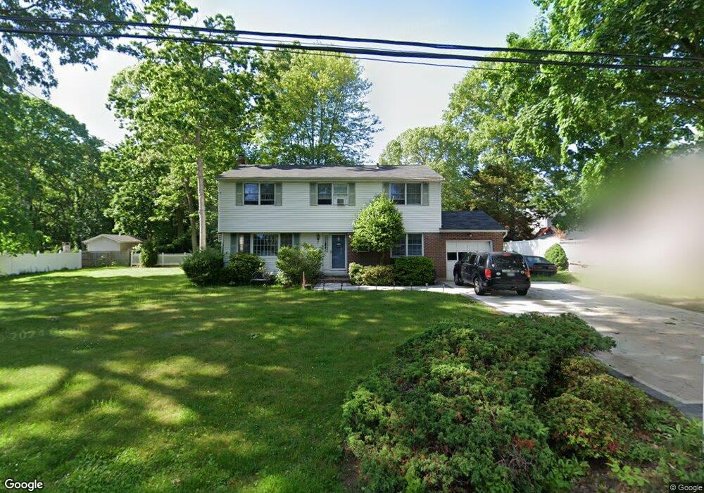
5 5th Ave Smithtown, NY 11787
Estimated Value: $692,393 - $790,000
3
Beds
2
Baths
1,688
Sq Ft
$450/Sq Ft
Est. Value
About This Home
This home is located at 5 5th Ave, Smithtown, NY 11787 and is currently estimated at $760,348, approximately $450 per square foot. 5 5th Ave is a home located in Suffolk County with nearby schools including Smithtown Elementary School, Smithtown Christian School, and St Patrick Elementary School.
Ownership History
Date
Name
Owned For
Owner Type
Purchase Details
Closed on
Jan 27, 2000
Sold by
Struzzieri Richard and Struzzieri Susan
Bought by
Rook Fred and Rook Marjorie
Current Estimated Value
Home Financials for this Owner
Home Financials are based on the most recent Mortgage that was taken out on this home.
Original Mortgage
$37,950
Interest Rate
7.81%
Mortgage Type
Stand Alone Second
Purchase Details
Closed on
Nov 29, 1995
Sold by
Holden Robert G and Holden Jane D
Bought by
Struzzieri Richard and Struzzieri Susan
Create a Home Valuation Report for This Property
The Home Valuation Report is an in-depth analysis detailing your home's value as well as a comparison with similar homes in the area
Home Values in the Area
Average Home Value in this Area
Purchase History
| Date | Buyer | Sale Price | Title Company |
|---|---|---|---|
| Rook Fred | $253,000 | -- | |
| Struzzieri Richard | $180,000 | -- |
Source: Public Records
Mortgage History
| Date | Status | Borrower | Loan Amount |
|---|---|---|---|
| Closed | Rook Fred | $37,950 | |
| Open | Rook Fred | $202,400 |
Source: Public Records
Tax History Compared to Growth
Tax History
| Year | Tax Paid | Tax Assessment Tax Assessment Total Assessment is a certain percentage of the fair market value that is determined by local assessors to be the total taxable value of land and additions on the property. | Land | Improvement |
|---|---|---|---|---|
| 2024 | $11,639 | $4,825 | $335 | $4,490 |
| 2023 | $11,639 | $4,825 | $335 | $4,490 |
| 2022 | $9,896 | $4,825 | $335 | $4,490 |
| 2021 | $9,896 | $4,825 | $335 | $4,490 |
| 2020 | $10,963 | $4,825 | $335 | $4,490 |
| 2019 | $10,963 | $0 | $0 | $0 |
| 2018 | -- | $4,825 | $335 | $4,490 |
| 2017 | $10,132 | $4,825 | $335 | $4,490 |
| 2016 | $10,020 | $4,825 | $335 | $4,490 |
| 2015 | -- | $4,825 | $335 | $4,490 |
| 2014 | -- | $4,825 | $335 | $4,490 |
Source: Public Records
Map
Nearby Homes
- 22 5th Ave
- 305 Devon Ln
- 12 Wadsworth Place
- 5 Platt Ave
- 83 Sunrise Ln
- 6 Keystone Ct
- 16 Wildwood Ln
- 9 Graystone Ln
- 72 Mount Pleasant Rd
- 147 Juniper Ave
- 64 Brooksite Dr
- 365 Route 111 Unit A-4
- 365 Route 111 Unit C-4
- 58 Sherbrooke Dr
- 25 Estate Rd
- 6 Cambridge Dr
- 7 Village Way
- 31 Brooksite Dr
- 34 Brooksite Dr
- 18 Thrush Dr