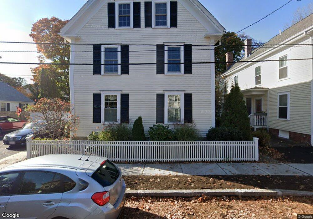
5-7 Eagle St Unit 2 Newburyport, MA 01950
Estimated Value: $822,000 - $888,000
3
Beds
2
Baths
1,905
Sq Ft
$446/Sq Ft
Est. Value
About This Home
This home is located at 5-7 Eagle St Unit 2, Newburyport, MA 01950 and is currently estimated at $850,417, approximately $446 per square foot. 5-7 Eagle St Unit 2 is a home located in Essex County with nearby schools including Francis T. Bresnahan Elementary School, Edward G. Molin Elementary School, and Rupert A. Nock Middle School.
Ownership History
Date
Name
Owned For
Owner Type
Purchase Details
Closed on
Jul 19, 2006
Sold by
Pomerantz Francesca K and Vining George J
Bought by
Tammaro Karen M
Current Estimated Value
Home Financials for this Owner
Home Financials are based on the most recent Mortgage that was taken out on this home.
Original Mortgage
$364,000
Outstanding Balance
$215,197
Interest Rate
6.67%
Mortgage Type
Purchase Money Mortgage
Estimated Equity
$635,220
Create a Home Valuation Report for This Property
The Home Valuation Report is an in-depth analysis detailing your home's value as well as a comparison with similar homes in the area
Home Values in the Area
Average Home Value in this Area
Purchase History
| Date | Buyer | Sale Price | Title Company |
|---|---|---|---|
| Tammaro Karen M | $455,000 | -- | |
| Tammaro Karen M | $455,000 | -- |
Source: Public Records
Mortgage History
| Date | Status | Borrower | Loan Amount |
|---|---|---|---|
| Open | Tammaro Karen M | $364,000 | |
| Closed | Tammaro Karen M | $364,000 | |
| Previous Owner | Tammaro Karen M | $50,000 | |
| Previous Owner | Tammaro Karen M | $25,000 |
Source: Public Records
Tax History Compared to Growth
Tax History
| Year | Tax Paid | Tax Assessment Tax Assessment Total Assessment is a certain percentage of the fair market value that is determined by local assessors to be the total taxable value of land and additions on the property. | Land | Improvement |
|---|---|---|---|---|
| 2025 | $7,362 | $768,500 | $0 | $768,500 |
| 2024 | $7,182 | $720,400 | $0 | $720,400 |
| 2023 | $7,150 | $665,700 | $0 | $665,700 |
| 2022 | $6,969 | $580,300 | $0 | $580,300 |
| 2021 | $6,919 | $547,400 | $0 | $547,400 |
| 2020 | $6,887 | $536,400 | $0 | $536,400 |
| 2019 | $6,645 | $508,000 | $0 | $508,000 |
| 2018 | $6,533 | $492,700 | $0 | $492,700 |
| 2017 | $6,332 | $470,800 | $0 | $470,800 |
| 2016 | $5,851 | $437,000 | $0 | $437,000 |
| 2015 | $5,571 | $417,600 | $0 | $417,600 |
Source: Public Records
Map
Nearby Homes
- 27 Warren St Unit 1
- 13 Broad St
- 14 Dexter Ln Unit B
- 14 Dexter Ln Unit A
- 217 Merrimac St Unit 1
- 45 Boardman St Unit 1
- 41 Washington St Unit B
- 44 Washington St Unit C
- 158 Merrimac St Unit 3
- 266 Merrimac St Unit F
- 288 Merrimac St
- 126 Merrimac St Unit 35
- 126 Merrimac St Unit 31
- 110 Low St
- 138 Low St
- 287 1/2 High St
- 2 Court St Unit 4
- 58 Merrimac St Unit 2-5
- 1 Hill St
- 1 Hill St Unit 1
- 5-7 Eagle St Unit 1
- 57 Eagle St Unit 2
- 57 Eagle St Unit 1
- 5-7 Eagle St Unit 2,7
- 5-7 Eagle St Unit 1 1
- 5 Eagle St
- 5 B Eagle St Unit 5B
- 9 Eagle St
- 11 Eagle St
- 3 Eagle St
- 13 Eagle St
- 10 Eagle St
- 8 Eagle St
- 12 Eagle St
- One Half Eagle Unit 2
- 1 Eagle St
- 15 Eagle St
- 14 Eagle St
- 244 High St Unit 1
- 244 High St Unit 2