5 Aarons Way Harpswell, ME 04079
Harpswell NeighborhoodEstimated Value: $692,601 - $823,000
2
Beds
1
Bath
1,300
Sq Ft
$579/Sq Ft
Est. Value
About This Home
This home is located at 5 Aarons Way, Harpswell, ME 04079 and is currently estimated at $752,400, approximately $578 per square foot. 5 Aarons Way is a home with nearby schools including Mt Ararat High School.
Ownership History
Date
Name
Owned For
Owner Type
Purchase Details
Closed on
Oct 25, 2022
Sold by
Johnson Priscilla I Est and Betts
Bought by
Johnson Kyle A
Current Estimated Value
Home Financials for this Owner
Home Financials are based on the most recent Mortgage that was taken out on this home.
Original Mortgage
$300,000
Outstanding Balance
$287,659
Interest Rate
5.89%
Mortgage Type
Purchase Money Mortgage
Estimated Equity
$464,741
Create a Home Valuation Report for This Property
The Home Valuation Report is an in-depth analysis detailing your home's value as well as a comparison with similar homes in the area
Home Values in the Area
Average Home Value in this Area
Purchase History
| Date | Buyer | Sale Price | Title Company |
|---|---|---|---|
| Johnson Kyle A | -- | None Available |
Source: Public Records
Mortgage History
| Date | Status | Borrower | Loan Amount |
|---|---|---|---|
| Open | Johnson Kyle A | $300,000 |
Source: Public Records
Tax History Compared to Growth
Tax History
| Year | Tax Paid | Tax Assessment Tax Assessment Total Assessment is a certain percentage of the fair market value that is determined by local assessors to be the total taxable value of land and additions on the property. | Land | Improvement |
|---|---|---|---|---|
| 2024 | $3,022 | $475,100 | $168,600 | $306,500 |
| 2023 | $2,898 | $475,100 | $168,600 | $306,500 |
| 2022 | $2,803 | $475,100 | $168,600 | $306,500 |
| 2021 | $2,077 | $307,200 | $172,500 | $134,700 |
| 2020 | $2,071 | $307,200 | $172,500 | $134,700 |
| 2019 | $2,058 | $307,200 | $172,500 | $134,700 |
| 2018 | $1,991 | $307,200 | $172,500 | $134,700 |
| 2017 | $1,985 | $307,200 | $172,500 | $134,700 |
| 2016 | $1,966 | $307,200 | $172,500 | $134,700 |
| 2015 | $1,917 | $307,200 | $172,500 | $134,700 |
| 2013 | $1,776 | $307,200 | $172,500 | $134,700 |
Source: Public Records
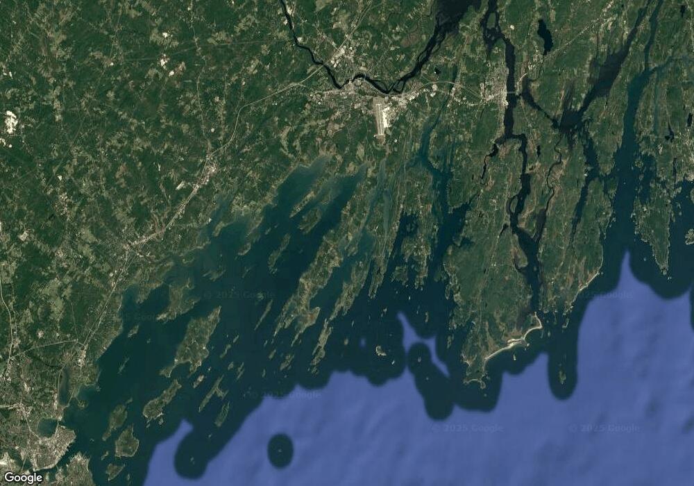
Map
Nearby Homes
- 19 Hugh Ave
- 20 Spruce Ledge Rd
- 10 S Colony Branch Rd
- 30 Osbourne Row
- 10 Irene Ave
- 8 & 2 Kane Ln
- 6 Kane Ln
- 16 Ash Point Rd Unit 16
- 18 Ash Point Rd
- 87 Lowells Cove Rd
- 1689 Harpswell Islands Rd
- 1450 Harpswell Neck Rd
- 1 Mallard Pond Rd
- 0 Bayview Rd Unit 2 1632776
- 20 Long Point Island
- 41 Spruce Brook Dr
- Lot 2A Allen Point Rd
- Lot 2B Allen Point Rd
- Lot 129 Harpswell Neck Rd
- lot C Long Point Rd
- 2133 Harpswell Islands Rd
- 2127 Harpswell Islands Rd
- 2142 Harpswell Island Rd
- 2136 Harpswell Islands Rd
- 2142 Harpswell Islands Rd
- 22 Windy Hill Ln
- 0 Maine 24
- 2144 Harpswell Islands Rd
- 10 Windy Hill Ln
- 0 Harpswell Islands Rd Rd Unit 1550738
- 0 Harpswell Islands Rd Rd Unit 1479711
- 0 Harpswell Islands Rd Rd Unit 1541662
- 2130 Harpswell Islands Rd
- 2128 Harpswell Islands Rd
- 2150 Harpswell Islands Rd
- 5 Dolphin Ln
- 2121 Harpswell Islands Rd
- 9 Fishermans Crossing
- 12 Steamboat Rd
- 2124 Harpswell Island