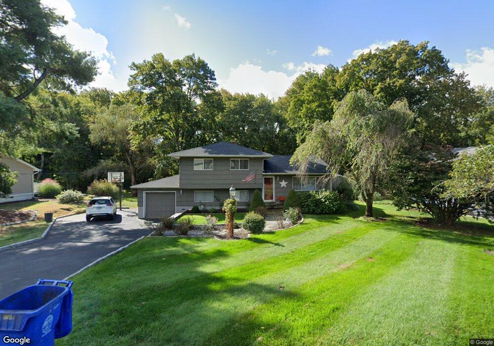
5 Algonquin Rd Norwalk, CT 06851
Cranbury NeighborhoodEstimated Value: $628,000 - $720,000
3
Beds
1
Bath
1,128
Sq Ft
$613/Sq Ft
Est. Value
About This Home
This home is located at 5 Algonquin Rd, Norwalk, CT 06851 and is currently estimated at $691,340, approximately $612 per square foot. 5 Algonquin Rd is a home located in Fairfield County with nearby schools including Cranbury Elementary School, West Rocks Middle School, and Norwalk High School.
Ownership History
Date
Name
Owned For
Owner Type
Purchase Details
Closed on
Jun 10, 2005
Sold by
Freedman Alan M
Bought by
Cosentino Frank and Cosentino Tina
Current Estimated Value
Purchase Details
Closed on
Jul 26, 1990
Sold by
Dellaripa Dominick
Bought by
Freedman Alan
Create a Home Valuation Report for This Property
The Home Valuation Report is an in-depth analysis detailing your home's value as well as a comparison with similar homes in the area
Home Values in the Area
Average Home Value in this Area
Purchase History
| Date | Buyer | Sale Price | Title Company |
|---|---|---|---|
| Cosentino Frank | $525,000 | -- | |
| Cosentino Frank | $525,000 | -- | |
| Freedman Alan | $237,000 | -- |
Source: Public Records
Mortgage History
| Date | Status | Borrower | Loan Amount |
|---|---|---|---|
| Open | Freedman Alan | $378,413 | |
| Closed | Freedman Alan | $377,000 |
Source: Public Records
Tax History
| Year | Tax Paid | Tax Assessment Tax Assessment Total Assessment is a certain percentage of the fair market value that is determined by local assessors to be the total taxable value of land and additions on the property. | Land | Improvement |
|---|---|---|---|---|
| 2025 | $9,711 | $409,050 | $220,070 | $188,980 |
| 2024 | $9,562 | $409,050 | $220,070 | $188,980 |
| 2023 | $7,661 | $306,850 | $175,420 | $131,430 |
| 2022 | $7,541 | $306,850 | $175,420 | $131,430 |
| 2021 | $6,416 | $306,850 | $175,420 | $131,430 |
| 2020 | $7,244 | $306,850 | $175,420 | $131,430 |
| 2019 | $6,996 | $306,850 | $175,420 | $131,430 |
| 2018 | $7,603 | $293,220 | $189,270 | $103,950 |
| 2017 | $7,338 | $293,220 | $189,270 | $103,950 |
| 2016 | $7,460 | $293,220 | $189,270 | $103,950 |
| 2015 | $6,700 | $293,220 | $189,270 | $103,950 |
| 2014 | $7,342 | $293,220 | $189,270 | $103,950 |
Source: Public Records
Map
Nearby Homes
- 3 Algonquin Rd
- 7 Algonquin Rd
- 75 Chestnut Hill Rd
- 81 Chestnut Hill Rd
- 9 Algonquin Rd
- 85 Chestnut Hill Rd
- 6 Algonquin Rd
- 8 Algonquin Rd
- 4 Algonquin Rd
- 65 Chestnut Hill Rd
- 71 Chestnut Hill Rd
- 11 Algonquin Rd
- 2 Algonquin Rd
- 67 Chestnut Hill Rd
- 12 Algonquin Rd
- 13 Algonquin Rd
- 28 Stonecrop Rd
- 14 Stonecrop Rd
- 2 Buckthorn Rd
- 72 Chestnut Hill Rd
Your Personal Tour Guide
Ask me questions while you tour the home.