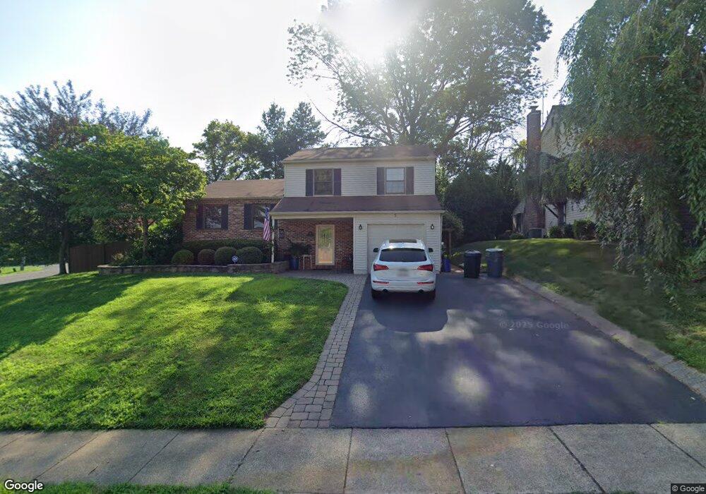
5 Alscot Ln Langhorne, PA 19047
Estimated Value: $493,000 - $523,000
3
Beds
2
Baths
1,296
Sq Ft
$392/Sq Ft
Est. Value
About This Home
This home is located at 5 Alscot Ln, Langhorne, PA 19047 and is currently estimated at $508,429, approximately $392 per square foot. 5 Alscot Ln is a home located in Bucks County with nearby schools including Tawanka Elementary School, Maple Point Middle School, and Neshaminy High School.
Ownership History
Date
Name
Owned For
Owner Type
Purchase Details
Closed on
Feb 26, 1998
Sold by
Boland Kenneth F
Bought by
Boland Kenneth and Boland Lisa Marie
Current Estimated Value
Home Financials for this Owner
Home Financials are based on the most recent Mortgage that was taken out on this home.
Original Mortgage
$101,000
Interest Rate
6.53%
Purchase Details
Closed on
Feb 25, 1994
Sold by
Boland Kenneth F and Boland Katherine A
Bought by
Boland Kenneth F
Home Financials for this Owner
Home Financials are based on the most recent Mortgage that was taken out on this home.
Original Mortgage
$106,000
Interest Rate
7.01%
Create a Home Valuation Report for This Property
The Home Valuation Report is an in-depth analysis detailing your home's value as well as a comparison with similar homes in the area
Home Values in the Area
Average Home Value in this Area
Purchase History
| Date | Buyer | Sale Price | Title Company |
|---|---|---|---|
| Boland Kenneth | -- | -- | |
| Boland Kenneth F | $50,000 | -- |
Source: Public Records
Mortgage History
| Date | Status | Borrower | Loan Amount |
|---|---|---|---|
| Closed | Boland Kenneth | $101,000 | |
| Closed | Boland Kenneth F | $106,000 |
Source: Public Records
Tax History Compared to Growth
Tax History
| Year | Tax Paid | Tax Assessment Tax Assessment Total Assessment is a certain percentage of the fair market value that is determined by local assessors to be the total taxable value of land and additions on the property. | Land | Improvement |
|---|---|---|---|---|
| 2025 | $7,567 | $34,760 | $7,520 | $27,240 |
| 2024 | $7,567 | $34,760 | $7,520 | $27,240 |
| 2023 | $7,447 | $34,760 | $7,520 | $27,240 |
| 2022 | $7,252 | $34,760 | $7,520 | $27,240 |
| 2021 | $7,252 | $34,760 | $7,520 | $27,240 |
| 2020 | $7,165 | $34,760 | $7,520 | $27,240 |
| 2019 | $7,005 | $34,760 | $7,520 | $27,240 |
| 2018 | $6,876 | $34,760 | $7,520 | $27,240 |
| 2017 | $6,701 | $34,760 | $7,520 | $27,240 |
| 2016 | $6,701 | $34,760 | $7,520 | $27,240 |
| 2015 | $6,890 | $34,760 | $7,520 | $27,240 |
| 2014 | $6,890 | $34,760 | $7,520 | $27,240 |
Source: Public Records
Map
Nearby Homes
- 166 N Hawthorne Ave
- 1021 W Maple Ave
- 1210 Brownsville Rd
- 257 Wisteria Ave
- 225 Playwicki St
- 230 Playwicki St
- 147 Watergate Dr
- 13 Golf Club Dr
- 739 Bridgeview Rd
- 935 Edgewood Ln
- 2623 Sunnyside Ave
- 29 Langhorne Ave
- 523 Turtle Ln
- 308 W Richardson Ave
- 1605 Old Lincoln Hwy
- 812 Green Ridge Cir
- 716 Ross Dr
- 710 Fox Ct
- 518 Pebble Ridge Ct
- 527 Ashton Cir