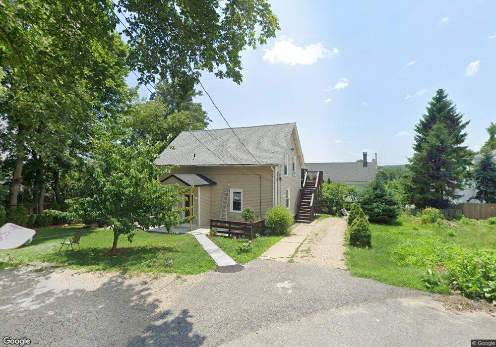
5 Angelo Ct West Warwick, RI 02893
Natick NeighborhoodEstimated Value: $375,074 - $589,000
6
Beds
3
Baths
2,091
Sq Ft
$219/Sq Ft
Est. Value
About This Home
This home is located at 5 Angelo Ct, West Warwick, RI 02893 and is currently estimated at $457,019, approximately $218 per square foot. 5 Angelo Ct is a home located in Kent County with nearby schools including West Warwick High School, Islamic School of Rhode Island, and St Joseph School.
Ownership History
Date
Name
Owned For
Owner Type
Purchase Details
Closed on
Oct 5, 2006
Sold by
Petreccia Carolyn
Bought by
Malinowski Daniel
Current Estimated Value
Home Financials for this Owner
Home Financials are based on the most recent Mortgage that was taken out on this home.
Original Mortgage
$176,800
Outstanding Balance
$105,966
Interest Rate
6.54%
Mortgage Type
Purchase Money Mortgage
Estimated Equity
$351,053
Purchase Details
Closed on
Mar 31, 2004
Sold by
Stabile John B
Bought by
Petreccia Carolyn
Home Financials for this Owner
Home Financials are based on the most recent Mortgage that was taken out on this home.
Original Mortgage
$138,800
Interest Rate
5.56%
Mortgage Type
Purchase Money Mortgage
Create a Home Valuation Report for This Property
The Home Valuation Report is an in-depth analysis detailing your home's value as well as a comparison with similar homes in the area
Home Values in the Area
Average Home Value in this Area
Purchase History
| Date | Buyer | Sale Price | Title Company |
|---|---|---|---|
| Malinowski Daniel | $221,000 | -- | |
| Petreccia Carolyn | $194,000 | -- |
Source: Public Records
Mortgage History
| Date | Status | Borrower | Loan Amount |
|---|---|---|---|
| Open | Petreccia Carolyn | $176,800 | |
| Previous Owner | Petreccia Carolyn | $191,000 | |
| Previous Owner | Petreccia Carolyn | $138,800 | |
| Previous Owner | Petreccia Carolyn | $101,500 |
Source: Public Records
Tax History
| Year | Tax Paid | Tax Assessment Tax Assessment Total Assessment is a certain percentage of the fair market value that is determined by local assessors to be the total taxable value of land and additions on the property. | Land | Improvement |
|---|---|---|---|---|
| 2025 | $5,128 | $335,400 | $63,900 | $271,500 |
| 2024 | $5,005 | $244,500 | $53,000 | $191,500 |
| 2023 | $4,907 | $244,500 | $53,000 | $191,500 |
| 2022 | $4,829 | $244,500 | $53,000 | $191,500 |
| 2021 | $5,048 | $168,900 | $42,400 | $126,500 |
| 2020 | $5,048 | $168,900 | $42,400 | $126,500 |
| 2019 | $4,952 | $168,900 | $42,400 | $126,500 |
| 2018 | $4,990 | $127,300 | $44,000 | $83,300 |
| 2017 | $4,831 | $127,300 | $44,000 | $83,300 |
| 2016 | $4,744 | $127,300 | $44,000 | $83,300 |
| 2015 | $4,487 | $120,400 | $43,900 | $76,500 |
| 2014 | $4,389 | $120,400 | $43,900 | $76,500 |
Source: Public Records
Map
Nearby Homes
- 567 Providence St
- 58 River St Unit 46
- 58 River St Unit 49
- 56 River St Unit 31
- 38 River St
- 12 W Valley Cir
- 12 Railroad Row
- 17 Carnival Terrace
- 743 Wakefield St
- 482 Providence St
- 61 Lafayette St
- 11 College Hill Rd Unit 5B
- 99 River Farms Dr
- 479 Providence St Unit C4
- 3 Dairy Farm Dr
- 40 Shortway Dr
- 251 Brian Dr
- 6 Governors Hill Unit 6
- 56 Governors Hill Unit 566
- 367 Commonwealth Ave
Your Personal Tour Guide
Ask me questions while you tour the home.