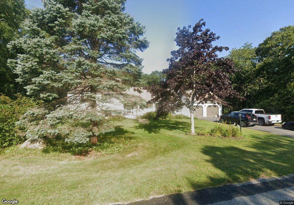
5 Anne Ln Bourne, MA 2532
Estimated Value: $617,058 - $903,000
4
Beds
5
Baths
2,528
Sq Ft
$309/Sq Ft
Est. Value
About This Home
This home is located at 5 Anne Ln, Bourne, MA 2532 and is currently estimated at $781,765, approximately $309 per square foot. 5 Anne Ln is a home located in Barnstable County with nearby schools including Bourne High School, St Margaret Regional School, and Cadence Academy Preschool - Bourne.
Ownership History
Date
Name
Owned For
Owner Type
Purchase Details
Closed on
Feb 24, 2025
Sold by
Perry James M and Frost Verna E
Bought by
Perry James M
Current Estimated Value
Purchase Details
Closed on
Aug 25, 2003
Sold by
Valerie F Paskevich T and Paskevich Valerie F
Bought by
Perry James M and Frost Verna E
Home Financials for this Owner
Home Financials are based on the most recent Mortgage that was taken out on this home.
Original Mortgage
$225,000
Interest Rate
5.52%
Mortgage Type
Purchase Money Mortgage
Purchase Details
Closed on
Jul 29, 1992
Sold by
Seaside Assoc Inc
Bought by
Paskevich Valerie
Create a Home Valuation Report for This Property
The Home Valuation Report is an in-depth analysis detailing your home's value as well as a comparison with similar homes in the area
Purchase History
| Date | Buyer | Sale Price | Title Company |
|---|---|---|---|
| Perry James M | $479,943 | None Available | |
| Perry James M | $479,943 | None Available | |
| Perry James M | $425,000 | -- | |
| Perry James M | $425,000 | -- | |
| Paskevich Valerie | $207,125 | -- |
Source: Public Records
Mortgage History
| Date | Status | Borrower | Loan Amount |
|---|---|---|---|
| Previous Owner | Paskevich Valerie | $100,000 | |
| Previous Owner | Paskevich Valerie | $175,700 | |
| Previous Owner | Paskevich Valerie | $225,000 |
Source: Public Records
Tax History
| Year | Tax Paid | Tax Assessment Tax Assessment Total Assessment is a certain percentage of the fair market value that is determined by local assessors to be the total taxable value of land and additions on the property. | Land | Improvement |
|---|---|---|---|---|
| 2025 | $5,377 | $688,500 | $255,000 | $433,500 |
| 2024 | $5,257 | $655,500 | $242,800 | $412,700 |
| 2023 | $5,088 | $577,500 | $214,900 | $362,600 |
| 2022 | $5,071 | $502,600 | $190,200 | $312,400 |
| 2021 | $4,934 | $458,100 | $173,100 | $285,000 |
| 2020 | $4,747 | $442,000 | $171,400 | $270,600 |
| 2019 | $2,136 | $430,400 | $171,400 | $259,000 |
| 2018 | $4,356 | $413,300 | $163,300 | $250,000 |
| 2017 | $1,691 | $409,300 | $161,800 | $247,500 |
| 2016 | $4,101 | $403,600 | $161,800 | $241,800 |
| 2015 | $4,064 | $403,600 | $161,800 | $241,800 |
Source: Public Records
Map
Nearby Homes
- 13 Laurel Hill Ct
- 203 County Rd
- 44 Cotuit Rd
- 35 Benedict Rd
- 5 Sea Knoll Ct
- 26 Carnoustie Rd
- 46 Holt Rd Unit A
- 46 Holt Rd
- 12 Turnberry Rd Unit 12
- 60 Sandwich Rd
- 1 Hollyhock Knoll Ct Unit 1
- 4 Hollyhock Knoll Ct Unit 4
- 4 Hollyhock Knoll Ct Unit 4
- 40-A Lafayette Ave
- 38 Old Bridge Rd
- 90-92 Sandwich Rd Unit 2
- 16 Amberwood Ct
- 6 Honora Ct
- 4 Van Bummel Rd
- 23 Alderberry Rd
Your Personal Tour Guide
Ask me questions while you tour the home.