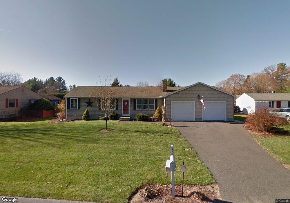
5 Applewood Ln Holyoke, MA 01040
Estimated Value: $325,000 - $343,000
2
Beds
1
Bath
1,512
Sq Ft
$222/Sq Ft
Est. Value
About This Home
This home is located at 5 Applewood Ln, Holyoke, MA 01040 and is currently estimated at $335,682, approximately $222 per square foot. 5 Applewood Ln is a home located in Hampden County with nearby schools including Harriet Bishop Elementary School, Lt. Clayre Sullivan Elementary School, and Holyoke High School.
Ownership History
Date
Name
Owned For
Owner Type
Purchase Details
Closed on
Jun 23, 2021
Sold by
Quesnel William J and Quesnel Ingeborg M
Bought by
Quesnel Ingeborg M and Quesnel William J
Current Estimated Value
Purchase Details
Closed on
May 23, 1979
Bought by
Quesnel William J and Quesnel Ingeborg M
Create a Home Valuation Report for This Property
The Home Valuation Report is an in-depth analysis detailing your home's value as well as a comparison with similar homes in the area
Home Values in the Area
Average Home Value in this Area
Purchase History
| Date | Buyer | Sale Price | Title Company |
|---|---|---|---|
| Quesnel Ingeborg M | -- | None Available | |
| Quesnel William J | -- | -- |
Source: Public Records
Mortgage History
| Date | Status | Borrower | Loan Amount |
|---|---|---|---|
| Previous Owner | Quesnel William J | $43,000 | |
| Previous Owner | Quesnel William J | $50,000 | |
| Previous Owner | Quesnel William J | $69,750 | |
| Previous Owner | Quesnel William J | $70,000 |
Source: Public Records
Tax History Compared to Growth
Tax History
| Year | Tax Paid | Tax Assessment Tax Assessment Total Assessment is a certain percentage of the fair market value that is determined by local assessors to be the total taxable value of land and additions on the property. | Land | Improvement |
|---|---|---|---|---|
| 2025 | $4,416 | $252,900 | $64,300 | $188,600 |
| 2024 | $4,360 | $230,100 | $61,300 | $168,800 |
| 2023 | $4,183 | $223,000 | $61,300 | $161,700 |
| 2022 | $4,035 | $209,500 | $61,300 | $148,200 |
| 2021 | $3,508 | $201,600 | $58,600 | $143,000 |
| 2020 | $3,694 | $193,600 | $58,600 | $135,000 |
| 2019 | $3,650 | $189,200 | $58,600 | $130,600 |
| 2018 | $3,513 | $182,400 | $58,600 | $123,800 |
| 2017 | $3,497 | $182,400 | $58,600 | $123,800 |
| 2016 | $3,487 | $182,400 | $60,500 | $121,900 |
| 2015 | $3,473 | $182,400 | $60,500 | $121,900 |
Source: Public Records
Map
Nearby Homes
- 3 Applewood Ln
- 7 Applewood Ln
- 6 Blackberry Cir
- 4 Blackberry Cir
- 8 Applewood Ln
- 31 Bayberry Dr
- 9 Applewood Ln
- 33 Bayberry Dr
- 8 Blackberry Cir
- 6 Applewood Ln
- 1 Applewood Ln
- 35 Bayberry Dr
- 10 Applewood Ln
- 12 Applewood Ln
- 4 Applewood Ln
- 10 Blackberry Cir
- 5 Blackberry Cir
- 3 Blackberry Cir
- 2 Applewood Ln
- 7 Blackberry Cir