5 Aster Ct Unit 5 Doylestown, PA 18901
Estimated Value: $822,521 - $969,000
3
Beds
3
Baths
3,364
Sq Ft
$261/Sq Ft
Est. Value
About This Home
This home is located at 5 Aster Ct Unit 5, Doylestown, PA 18901 and is currently estimated at $877,880, approximately $260 per square foot. 5 Aster Ct Unit 5 is a home located in Bucks County with nearby schools including Doyle El School, Lenape Middle School, and Central Bucks High School-West.
Ownership History
Date
Name
Owned For
Owner Type
Purchase Details
Closed on
Apr 4, 2008
Sold by
Manna Richard W and Manna Kathleen A
Bought by
Campbell William F and Coller Beverly J
Current Estimated Value
Home Financials for this Owner
Home Financials are based on the most recent Mortgage that was taken out on this home.
Original Mortgage
$200,000
Outstanding Balance
$128,855
Interest Rate
6.3%
Mortgage Type
Purchase Money Mortgage
Estimated Equity
$749,025
Purchase Details
Closed on
Jan 5, 2000
Sold by
Clarke Margaret
Bought by
Manna Richard W and Manna Kathleen A
Create a Home Valuation Report for This Property
The Home Valuation Report is an in-depth analysis detailing your home's value as well as a comparison with similar homes in the area
Home Values in the Area
Average Home Value in this Area
Purchase History
| Date | Buyer | Sale Price | Title Company |
|---|---|---|---|
| Campbell William F | $550,000 | None Available | |
| Manna Richard W | $329,900 | -- |
Source: Public Records
Mortgage History
| Date | Status | Borrower | Loan Amount |
|---|---|---|---|
| Open | Campbell William F | $200,000 |
Source: Public Records
Tax History
| Year | Tax Paid | Tax Assessment Tax Assessment Total Assessment is a certain percentage of the fair market value that is determined by local assessors to be the total taxable value of land and additions on the property. | Land | Improvement |
|---|---|---|---|---|
| 2025 | $9,045 | $51,110 | -- | $51,110 |
| 2024 | $9,045 | $51,110 | $0 | $51,110 |
| 2023 | $8,624 | $51,110 | $0 | $51,110 |
| 2022 | $8,528 | $51,110 | $0 | $51,110 |
| 2021 | $8,353 | $51,110 | $0 | $51,110 |
| 2020 | $8,314 | $51,110 | $0 | $51,110 |
| 2019 | $8,225 | $51,110 | $0 | $51,110 |
| 2018 | $8,199 | $51,110 | $0 | $51,110 |
| 2017 | $8,135 | $51,110 | $0 | $51,110 |
| 2016 | $8,084 | $51,110 | $0 | $51,110 |
| 2015 | -- | $51,110 | $0 | $51,110 |
| 2014 | -- | $51,110 | $0 | $51,110 |
Source: Public Records
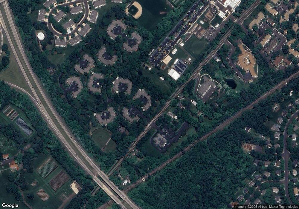
Map
Nearby Homes
- 2401 Lower State Rd Unit 106
- 33 Hibiscus Ct Unit 33
- 3 Aspen Way Unit 33
- 112 Steeplechase Dr
- 450 Ford Hook Rd
- 117 Conestoga Dr
- 195 Lafayette St
- 158 Wooded Dr
- 233 Hemlock Dr
- 43 Evergreen Dr
- 190 Decatur St
- 137 Wells Rd
- 250 Wooded Dr
- 274 Hickory Dr
- 325 N Shady Retreat Rd
- 215 N Franklin St
- 225 Chestnut Valley Dr
- 84 Iron Hill Rd
- 61 N Hamilton St
- 21 Washington Square Unit 36
- 6 Aster Ct Unit 6
- 4 Aster Ct Unit 4
- 3 Aster Ct
- 2 Aster Ct Unit 2
- 1 Aster Ct Unit 1
- 7 Aurora Ct Unit 7
- 16 Blakemore Ct Unit 16
- 2371 Lower State Rd
- 10 Aurora Ct Unit 10
- 15 Blakemore Ct Unit 15
- 8 Aurora Ct Unit 8
- 9 Aurora Ct
- 2381 Lower State Rd
- 14 Blakemore Ct
- 2387 Lower State Rd
- 13 Blakemore Ct
- 11 Blakemore Ct Unit 11
- 18 Berkeley Ct Unit 18
- 12 Blakemore Ct Unit 12
- 2335 Lower State Rd Unit 1
Your Personal Tour Guide
Ask me questions while you tour the home.