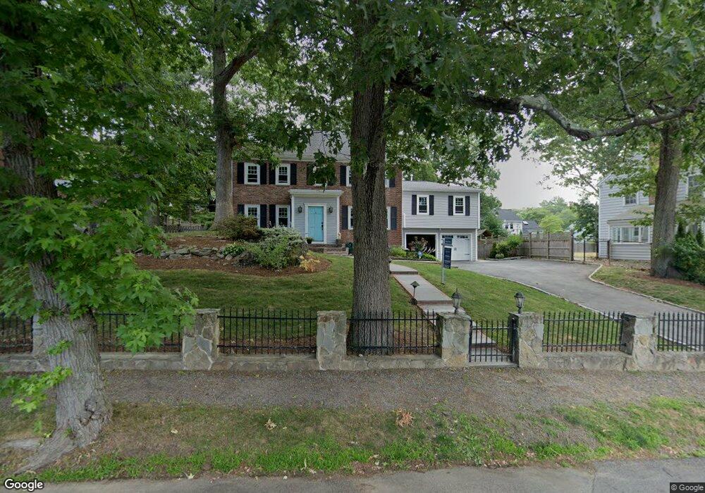
5 Baker Cir Unit U Chestnut Hill, MA 02467
South Brookline NeighborhoodEstimated Value: $1,748,000 - $1,925,000
3
Beds
3
Baths
--
Sq Ft
9,365
Sq Ft Lot
About This Home
This home is located at 5 Baker Cir Unit U, Chestnut Hill, MA 02467 and is currently estimated at $1,816,744. 5 Baker Cir Unit U is a home located in Norfolk County with nearby schools including Baker School, Brookline High School, and Holy Name Parish School.
Ownership History
Date
Name
Owned For
Owner Type
Purchase Details
Closed on
Aug 13, 2022
Sold by
Niedermeyer Thomas J
Bought by
5 Baker Circle Llc
Current Estimated Value
Purchase Details
Closed on
Mar 27, 2018
Sold by
Boyle Patrick W and Boyle Jessica G
Bought by
Boyle Ret and Boyle
Purchase Details
Closed on
May 3, 2004
Sold by
Bitran Laurinda C
Bought by
Osullivan James P and Osullivan Nathalie G
Home Financials for this Owner
Home Financials are based on the most recent Mortgage that was taken out on this home.
Original Mortgage
$672,000
Interest Rate
5.36%
Mortgage Type
Purchase Money Mortgage
Create a Home Valuation Report for This Property
The Home Valuation Report is an in-depth analysis detailing your home's value as well as a comparison with similar homes in the area
Home Values in the Area
Average Home Value in this Area
Purchase History
| Date | Buyer | Sale Price | Title Company |
|---|---|---|---|
| 5 Baker Circle Llc | -- | None Available | |
| Boyle Ret | -- | -- | |
| Osullivan James P | $840,000 | -- | |
| Osullivan James P | $840,000 | -- |
Source: Public Records
Mortgage History
| Date | Status | Borrower | Loan Amount |
|---|---|---|---|
| Previous Owner | Osullivan James P | $145,900 | |
| Previous Owner | Osullivan James P | $672,000 |
Source: Public Records
Tax History
| Year | Tax Paid | Tax Assessment Tax Assessment Total Assessment is a certain percentage of the fair market value that is determined by local assessors to be the total taxable value of land and additions on the property. | Land | Improvement |
|---|---|---|---|---|
| 2025 | $15,947 | $1,615,700 | $737,400 | $878,300 |
| 2024 | $15,218 | $1,557,600 | $709,100 | $848,500 |
| 2023 | $14,071 | $1,411,300 | $575,000 | $836,300 |
| 2022 | $13,696 | $1,344,100 | $547,600 | $796,500 |
| 2021 | $12,666 | $1,292,400 | $526,500 | $765,900 |
| 2020 | $11,664 | $1,234,300 | $478,600 | $755,700 |
| 2019 | $11,014 | $1,175,500 | $455,800 | $719,700 |
| 2018 | $11,042 | $1,167,200 | $455,900 | $711,300 |
| 2017 | $10,879 | $1,101,100 | $430,000 | $671,100 |
| 2016 | $10,722 | $1,029,000 | $401,900 | $627,100 |
| 2015 | $10,271 | $961,700 | $375,600 | $586,100 |
| 2014 | $10,372 | $910,600 | $341,500 | $569,100 |
Source: Public Records
Map
Nearby Homes
- 67 Risley Rd
- 206 Allandale Rd Unit 3C
- 170 Bonad Rd
- 227 Bonad Rd
- 214 Allandale Rd Unit B
- 37 Morey Rd
- 87 Buchanan Rd
- 91 Grove St
- 36 Goodnough Rd
- 55 Bellingham Rd
- 10 Hallwood Rd
- 72 Wallis Rd
- 1401 Centre St Unit 1401
- 17 Fairgreen Place
- 104 Greaton Rd
- 96 Theodore Parker Rd
- 55 Fairgreen Place
- 60 Alberta Rd
- 62 Ainsworth St
- 32 Russett Rd
- 5 Baker Cir
- 5 Baker Cir
- 5 Baker Cir Unit 1
- 829 W Roxbury Pkwy
- 11 Baker Cir
- 147 Payson Rd
- 141 Payson Rd
- 151 Payson Rd
- 133 Payson Rd
- 819 W Roxbury Pkwy
- 129 Payson Rd
- 17 Baker Cir
- 851 W Roxbury Pkwy
- 25 Baker Cir
- 150 Payson Rd
- 138 Payson Rd
- 836 W Roxbury Pkwy
- 828 W Roxbury Pkwy
- 842 W Roxbury Pkwy
- 144 Payson Rd
Your Personal Tour Guide
Ask me questions while you tour the home.