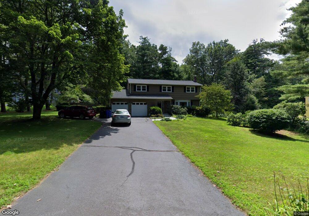
5 Banks Rd Simsbury, CT 06070
Estimated Value: $566,000 - $573,716
4
Beds
3
Baths
2,222
Sq Ft
$256/Sq Ft
Est. Value
About This Home
This home is located at 5 Banks Rd, Simsbury, CT 06070 and is currently estimated at $569,429, approximately $256 per square foot. 5 Banks Rd is a home located in Hartford County with nearby schools including Tootin' Hills School, Henry James Memorial School, and Simsbury High School.
Ownership History
Date
Name
Owned For
Owner Type
Purchase Details
Closed on
Mar 16, 2018
Sold by
Bourke Robert M and Bourke Sandra E
Bought by
Faleleev Dmitry and Aleksandrovna Anna
Current Estimated Value
Purchase Details
Closed on
Dec 30, 2015
Sold by
Bourke Robert M and Bourke Sandra E
Bought by
Bourke Robert M and Bourke Sandra E
Purchase Details
Closed on
May 22, 1992
Sold by
Kulas Leonard A and Kulas Jane H
Bought by
Wood Mary L and Wood Brian P
Create a Home Valuation Report for This Property
The Home Valuation Report is an in-depth analysis detailing your home's value as well as a comparison with similar homes in the area
Home Values in the Area
Average Home Value in this Area
Purchase History
| Date | Buyer | Sale Price | Title Company |
|---|---|---|---|
| Faleleev Dmitry | $322,000 | -- | |
| Bourke Robert M | -- | -- | |
| Wood Mary L | $139,000 | -- |
Source: Public Records
Mortgage History
| Date | Status | Borrower | Loan Amount |
|---|---|---|---|
| Previous Owner | Wood Mary L | $255,500 | |
| Previous Owner | Wood Mary L | $200,000 | |
| Previous Owner | Wood Mary L | $125,000 |
Source: Public Records
Tax History Compared to Growth
Tax History
| Year | Tax Paid | Tax Assessment Tax Assessment Total Assessment is a certain percentage of the fair market value that is determined by local assessors to be the total taxable value of land and additions on the property. | Land | Improvement |
|---|---|---|---|---|
| 2025 | $9,813 | $287,280 | $81,200 | $206,080 |
| 2024 | $9,569 | $287,280 | $81,200 | $206,080 |
| 2023 | $9,141 | $287,280 | $81,200 | $206,080 |
| 2022 | $8,798 | $227,760 | $88,200 | $139,560 |
| 2021 | $8,798 | $227,760 | $88,200 | $139,560 |
| 2020 | $8,448 | $227,760 | $88,200 | $139,560 |
| 2019 | $8,500 | $227,760 | $88,200 | $139,560 |
| 2018 | $8,561 | $227,760 | $88,200 | $139,560 |
| 2017 | $7,763 | $200,280 | $77,790 | $122,490 |
| 2016 | $7,292 | $196,440 | $77,800 | $118,640 |
| 2015 | $7,292 | $196,440 | $79,380 | $117,060 |
| 2014 | $7,296 | $196,440 | $79,380 | $117,060 |
Source: Public Records
Map
Nearby Homes
- 18 Meadowlark Rd
- 16 Stratton Forest Way
- 10 Sachems Trail
- 301 Bushy Hill Rd
- 3 Stebbins Brook Ln
- 4 Stebbins Brook Ln
- 15 Sand Hill Rd
- 8 Quorn Hunt Rd
- 40 Firetown Rd Unit 39
- 1 West St Unit 206
- 308 Hopmeadow St
- 48 Library Ln Unit 48
- 3 Minister Brook Dr
- 395 Bushy Hill Rd
- 8 Crane Place
- 269 W Mountain Rd
- 25 Barry Ln
- 3 Cobtail Way
- 143 N Mountain Rd
- 23 Red Fox Run
- 1 Banks Rd
- 7 Banks Rd
- 178 Stratton Brook Rd
- 8 Banks Rd
- 10 Banks Rd
- 6 Banks Rd
- 181 Stratton Brook Rd
- 4 Banks Rd
- 9 Banks Rd
- 183 Stratton Brook Rd
- 187 Stratton Brook Rd
- 12 Banks Rd
- 168 Stratton Brook Rd
- 175 Stratton Brook Rd
- 11 Banks Rd
- 14 Banks Rd
- 189 Stratton Brook Rd
- 38 Fawnbrook Ln
- 166 Stratton Brook Rd
- 6 Fawnbrook Ln