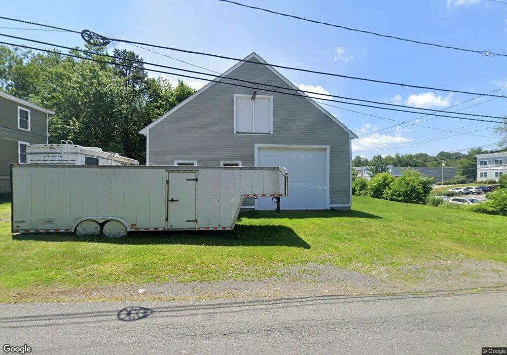
5 Barnes Rd Salem, MA 01970
Highland Avenue NeighborhoodEstimated Value: $660,000 - $834,000
4
Beds
2
Baths
2,408
Sq Ft
$313/Sq Ft
Est. Value
About This Home
This home is located at 5 Barnes Rd, Salem, MA 01970 and is currently estimated at $753,601, approximately $312 per square foot. 5 Barnes Rd is a home located in Essex County with nearby schools including Horace Mann Laboratory, Witchcraft Heights Elementary School, and Saltonstall School.
Ownership History
Date
Name
Owned For
Owner Type
Purchase Details
Closed on
Mar 14, 2002
Sold by
Pardo Mary G and Perrone Mary G
Bought by
Ily Leonard I
Current Estimated Value
Home Financials for this Owner
Home Financials are based on the most recent Mortgage that was taken out on this home.
Original Mortgage
$189,000
Outstanding Balance
$78,839
Interest Rate
7.04%
Mortgage Type
Purchase Money Mortgage
Estimated Equity
$674,762
Create a Home Valuation Report for This Property
The Home Valuation Report is an in-depth analysis detailing your home's value as well as a comparison with similar homes in the area
Home Values in the Area
Average Home Value in this Area
Purchase History
| Date | Buyer | Sale Price | Title Company |
|---|---|---|---|
| Ily Leonard I | $210,000 | -- |
Source: Public Records
Mortgage History
| Date | Status | Borrower | Loan Amount |
|---|---|---|---|
| Open | Ily Leonard I | $189,000 |
Source: Public Records
Tax History
| Year | Tax Paid | Tax Assessment Tax Assessment Total Assessment is a certain percentage of the fair market value that is determined by local assessors to be the total taxable value of land and additions on the property. | Land | Improvement |
|---|---|---|---|---|
| 2025 | $8,764 | $772,800 | $201,500 | $571,300 |
| 2024 | $8,549 | $735,700 | $201,400 | $534,300 |
| 2023 | $8,234 | $658,200 | $184,600 | $473,600 |
| 2022 | $7,680 | $579,600 | $177,800 | $401,800 |
| 2021 | $7,569 | $548,500 | $177,800 | $370,700 |
| 2020 | $7,274 | $503,400 | $167,700 | $335,700 |
| 2019 | $7,216 | $477,900 | $159,600 | $318,300 |
| 2018 | $7,030 | $457,100 | $152,200 | $304,900 |
| 2017 | $6,877 | $433,600 | $144,100 | $289,500 |
| 2016 | $4,651 | $296,800 | $127,200 | $169,600 |
| 2015 | $4,444 | $270,800 | $117,100 | $153,700 |
Source: Public Records
Map
Nearby Homes
- 2 Lions Ln Unit 2
- 11 Strongwater Dr
- 18 Strongwater Dr
- 22 Strongwater Dr
- 32 Whalers Ln Unit C
- 6 Whalers Ln Unit 6
- 12 Lightning Ln
- 38 Ledgemont Ln
- 55 Addison Ave
- 8 Waitt Ave
- 73 Lockwood Rd
- 21 E Park Ave
- 81 Glenwood St
- 91 Oakwood Ave
- 10 Fairview Rd
- 176 Marlborough Rd
- 31 Atkins Ave
- 16 Isabella St
- 16 Ferris Rd
- 60 Roy St
Your Personal Tour Guide
Ask me questions while you tour the home.