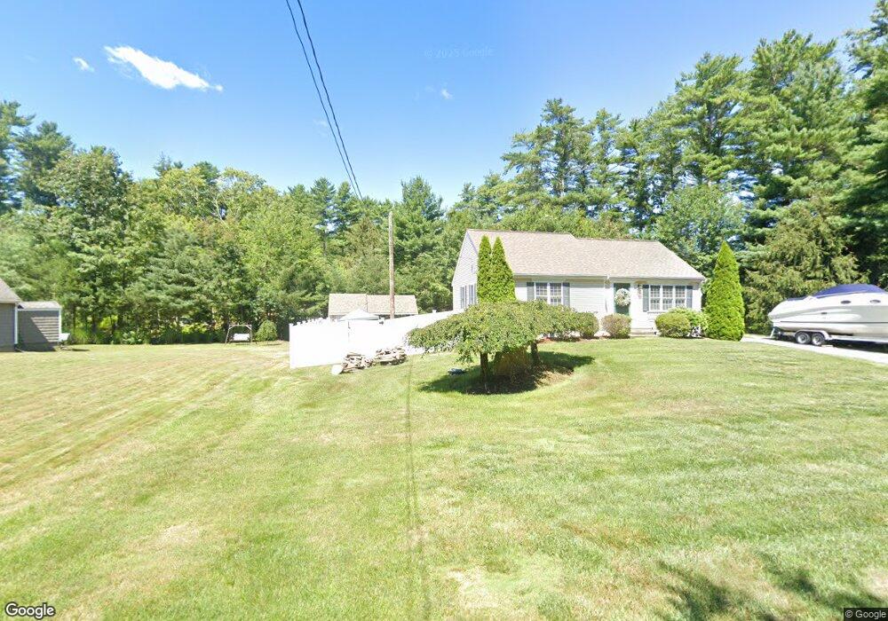
5 Bates Pond Rd Carver, MA 02330
Estimated Value: $499,000 - $562,000
2
Beds
2
Baths
1,000
Sq Ft
$523/Sq Ft
Est. Value
About This Home
This home is located at 5 Bates Pond Rd, Carver, MA 02330 and is currently estimated at $523,416, approximately $523 per square foot. 5 Bates Pond Rd is a home located in Plymouth County with nearby schools including Carver Elementary School and Carver Middle/High School.
Ownership History
Date
Name
Owned For
Owner Type
Purchase Details
Closed on
Sep 18, 2007
Sold by
White Craig E
Bought by
Coletti Crystal A and Pheanis Chad J
Current Estimated Value
Home Financials for this Owner
Home Financials are based on the most recent Mortgage that was taken out on this home.
Original Mortgage
$253,900
Outstanding Balance
$161,820
Interest Rate
6.7%
Mortgage Type
Purchase Money Mortgage
Estimated Equity
$361,596
Purchase Details
Closed on
Mar 17, 2006
Sold by
Carmichael Lisa
Bought by
White Craig E
Purchase Details
Closed on
Oct 13, 1993
Sold by
Vigers James E
Bought by
Carmichael Lisa
Home Financials for this Owner
Home Financials are based on the most recent Mortgage that was taken out on this home.
Original Mortgage
$27,900
Interest Rate
6.87%
Mortgage Type
Purchase Money Mortgage
Create a Home Valuation Report for This Property
The Home Valuation Report is an in-depth analysis detailing your home's value as well as a comparison with similar homes in the area
Home Values in the Area
Average Home Value in this Area
Purchase History
| Date | Buyer | Sale Price | Title Company |
|---|---|---|---|
| Coletti Crystal A | $288,900 | -- | |
| White Craig E | $105,000 | -- | |
| Carmichael Lisa | $34,900 | -- |
Source: Public Records
Mortgage History
| Date | Status | Borrower | Loan Amount |
|---|---|---|---|
| Open | Carmichael Lisa | $253,900 | |
| Previous Owner | Carmichael Lisa | $54,000 | |
| Previous Owner | Carmichael Lisa | $26,500 | |
| Previous Owner | Carmichael Lisa | $27,900 |
Source: Public Records
Tax History Compared to Growth
Tax History
| Year | Tax Paid | Tax Assessment Tax Assessment Total Assessment is a certain percentage of the fair market value that is determined by local assessors to be the total taxable value of land and additions on the property. | Land | Improvement |
|---|---|---|---|---|
| 2025 | $6,387 | $460,500 | $124,100 | $336,400 |
| 2024 | $6,073 | $428,600 | $121,600 | $307,000 |
| 2023 | $5,721 | $392,100 | $121,600 | $270,500 |
| 2022 | $5,368 | $335,900 | $98,800 | $237,100 |
| 2021 | $5,089 | $300,400 | $88,200 | $212,200 |
| 2020 | $4,891 | $284,500 | $82,500 | $202,000 |
| 2019 | $4,716 | $276,600 | $80,000 | $196,600 |
| 2018 | $4,520 | $247,400 | $80,000 | $167,400 |
| 2017 | $4,281 | $242,000 | $81,100 | $160,900 |
| 2016 | $3,970 | $233,100 | $77,200 | $155,900 |
| 2015 | $3,742 | $220,000 | $77,200 | $142,800 |
| 2014 | $3,708 | $218,000 | $97,600 | $120,400 |
Source: Public Records
Map
Nearby Homes
- 9 Everett St
- 8 Heather Ln
- 2 Cranberry Cir
- 28 S Main St
- 19 Pine Ridge Way
- 7 David Rd
- Lot 1 Ohana Way
- Lot 2 Ohana Way
- 5 Marks Way
- 29 Pipers Way
- 618 Wareham St
- 5 Presidents Way
- 28 Washington Park
- 663 Wareham St Unit 6
- 2230 Cranberry Hwy Unit 1
- 571 Wareham St
- 563 County Rd
- 558 Wareham St
- 235 Main St
- 47 Weaver St