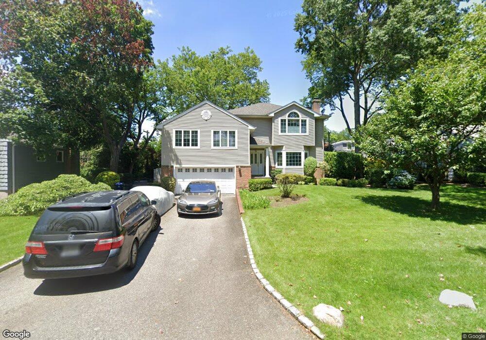
5 Beachway Port Washington, NY 11050
Estimated Value: $1,246,658 - $1,588,000
--
Bed
3
Baths
1,571
Sq Ft
$902/Sq Ft
Est. Value
About This Home
This home is located at 5 Beachway, Port Washington, NY 11050 and is currently estimated at $1,417,329, approximately $902 per square foot. 5 Beachway is a home located in Nassau County with nearby schools including John Philip Sousa Elementary School, Carrie Palmer Weber Middle School, and Paul D. Schreiber Senior High School.
Ownership History
Date
Name
Owned For
Owner Type
Purchase Details
Closed on
Jun 1, 2016
Sold by
Ferris Robert C and Mcinerney Christine M
Bought by
Mcinerney Christine M
Current Estimated Value
Purchase Details
Closed on
Jun 26, 1997
Sold by
Kim Han Gil As Surviving Tena
Bought by
Ferris Robert C and Mcinerney Christine M
Purchase Details
Closed on
Aug 20, 1996
Sold by
Biermann August Est and Biermann Dorothy
Bought by
Chardavoyne Rashmae
Purchase Details
Closed on
Apr 17, 1996
Sold by
Biermann August and Biermann Dorothy
Bought by
Lutheran Church Missouri Synod Foundation
Create a Home Valuation Report for This Property
The Home Valuation Report is an in-depth analysis detailing your home's value as well as a comparison with similar homes in the area
Home Values in the Area
Average Home Value in this Area
Purchase History
| Date | Buyer | Sale Price | Title Company |
|---|---|---|---|
| Mcinerney Christine M | -- | None Available | |
| Ferris Robert C | $377,500 | -- | |
| Chardavoyne Rashmae | $630,000 | -- | |
| Lutheran Church Missouri Synod Foundation | -- | -- |
Source: Public Records
Tax History Compared to Growth
Tax History
| Year | Tax Paid | Tax Assessment Tax Assessment Total Assessment is a certain percentage of the fair market value that is determined by local assessors to be the total taxable value of land and additions on the property. | Land | Improvement |
|---|---|---|---|---|
| 2025 | $22,371 | $955 | $558 | $397 |
| 2024 | $7,031 | $955 | $558 | $397 |
| 2023 | $22,073 | $955 | $558 | $397 |
| 2022 | $22,073 | $955 | $558 | $397 |
| 2021 | $22,861 | $933 | $545 | $388 |
| 2020 | $23,613 | $1,706 | $1,299 | $407 |
| 2019 | $23,824 | $1,706 | $1,299 | $407 |
| 2018 | $22,366 | $1,706 | $0 | $0 |
| 2017 | $13,063 | $1,706 | $1,299 | $407 |
| 2016 | $19,981 | $1,706 | $1,299 | $407 |
| 2015 | $6,722 | $1,706 | $1,299 | $407 |
| 2014 | $6,722 | $1,706 | $1,299 | $407 |
| 2013 | $6,319 | $1,706 | $1,299 | $407 |
Source: Public Records
Map
Nearby Homes
- 1 Luquer Rd
- 0 Route 5 & 20
- 454 Main St
- 96 Davis Rd
- 43 Amherst Rd
- 100 Gristmill Ln
- 47 Carlton Ave
- 17 Willow Dr
- 74 Bayview Ave Unit A
- 28 Charles St
- 107 Bayview Rd
- 372 Main St Unit 105
- 2 Smull Ln
- 18 S Washington St
- 38 Madison St Unit 38L
- 2 Stonytown Rd
- 113 Murray Ave
- 34 Davis Rd
- 1270 Plandome Rd
- 63 Lake Rd