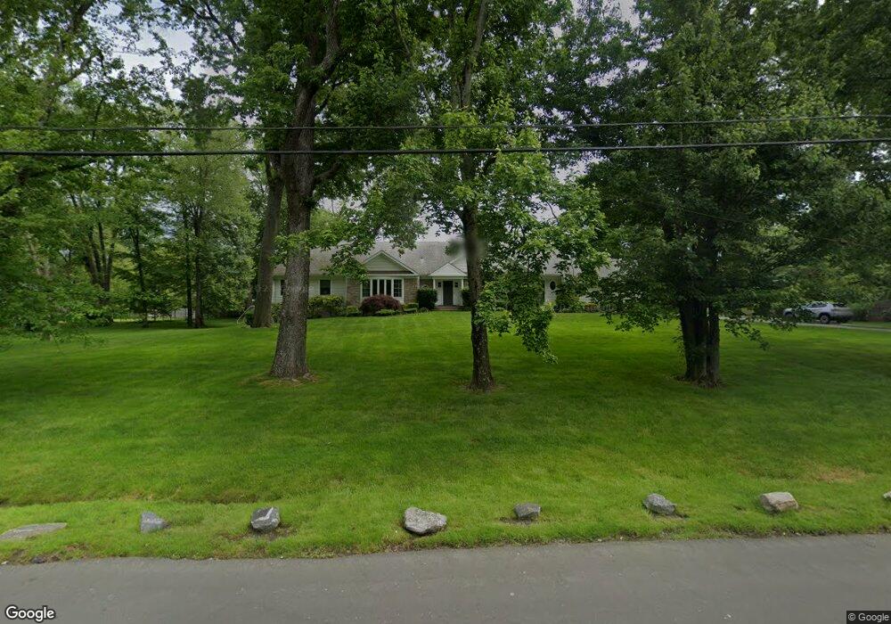
5 Beechwood Blvd Port Chester, NY 10573
Estimated Value: $1,604,000 - $2,978,000
4
Beds
4
Baths
3,435
Sq Ft
$575/Sq Ft
Est. Value
About This Home
This home is located at 5 Beechwood Blvd, Port Chester, NY 10573 and is currently estimated at $1,976,209, approximately $575 per square foot. 5 Beechwood Blvd is a home located in Westchester County with nearby schools including Port Chester Senior High School, Corpus Christi Holy Rosary School, and Westchester Fairfield Hebrew A.
Ownership History
Date
Name
Owned For
Owner Type
Purchase Details
Closed on
Dec 7, 2020
Sold by
Miller Neil S
Bought by
Miller Neil S and Miller Mara Y
Current Estimated Value
Home Financials for this Owner
Home Financials are based on the most recent Mortgage that was taken out on this home.
Original Mortgage
$1,597,322
Interest Rate
2.7%
Mortgage Type
Stand Alone Refi Refinance Of Original Loan
Purchase Details
Closed on
Jan 17, 2006
Sold by
Scelfo Christopher
Bought by
Bodell Scelfo Jodi Ann
Create a Home Valuation Report for This Property
The Home Valuation Report is an in-depth analysis detailing your home's value as well as a comparison with similar homes in the area
Home Values in the Area
Average Home Value in this Area
Purchase History
| Date | Buyer | Sale Price | Title Company |
|---|---|---|---|
| Miller Neil S | -- | Commonwealth Land Ttl Insura | |
| Bodell Scelfo Jodi Ann | -- | First American Title Ins Co |
Source: Public Records
Mortgage History
| Date | Status | Borrower | Loan Amount |
|---|---|---|---|
| Closed | Miller Neil S | $1,597,322 |
Source: Public Records
Tax History Compared to Growth
Tax History
| Year | Tax Paid | Tax Assessment Tax Assessment Total Assessment is a certain percentage of the fair market value that is determined by local assessors to be the total taxable value of land and additions on the property. | Land | Improvement |
|---|---|---|---|---|
| 2024 | $30,570 | $1,107,900 | $514,400 | $593,500 |
| 2023 | $27,201 | $1,065,300 | $489,900 | $575,400 |
| 2022 | $27,480 | $986,400 | $489,900 | $496,500 |
| 2021 | $27,188 | $939,400 | $489,900 | $449,500 |
| 2020 | $28,714 | $1,079,800 | $489,900 | $589,900 |
| 2019 | $64,295 | $1,344,600 | $778,900 | $565,700 |
| 2018 | $24,580 | $1,318,200 | $762,200 | $556,000 |
| 2017 | $0 | $1,371,200 | $797,700 | $573,500 |
| 2016 | $52,557 | $1,359,400 | $804,800 | $554,600 |
| 2015 | -- | $1,466,700 | $896,800 | $569,900 |
| 2014 | -- | $1,402,000 | $813,500 | $588,500 |
| 2013 | -- | $1,240,300 | $630,800 | $609,500 |
Source: Public Records
Map
Nearby Homes
- 139 Betsy Brown Rd
- 20 Woodland Dr
- 79 Robert Ave
- 82 Shelley Ave
- 565 King St
- 563 King St
- 561 King St
- 93 Greenwich Hills Dr
- 118 Greenwich Hills Dr
- 23 W Glen Ave
- 23 Sylvan Rd
- 28 1/2 Pilgrim Dr
- 106 Puritan Dr
- 213 Treetop Crescent
- 60 Lafayette Dr
- 17 Austin Place
- 80 Valley Terrace
- 263 N Regent St
- 22 Ridge Blvd
- 256 N Regent St
- 5 Beechwood Blvd
- 748 King St
- 9 Beechwood Blvd
- 1 Beechwood Blvd
- 750 King St
- 7 Beechwood Blvd
- 58 Woodland Dr
- 17 Kings Pk Dr
- 35 Woodland Dr
- 16 Kings Pk Dr
- 15 Kings Pk Dr
- 4 Beechwood Blvd
- 1 Kings Park Dr Unit 1
- 1 Kings Park Dr
- 1 Kings Pk Dr
- 1 Burdsall Dr
- 14 Beechwood Blvd
- 2 Kings Pk Dr
- 758 King St
- 3 Kings Pk Dr