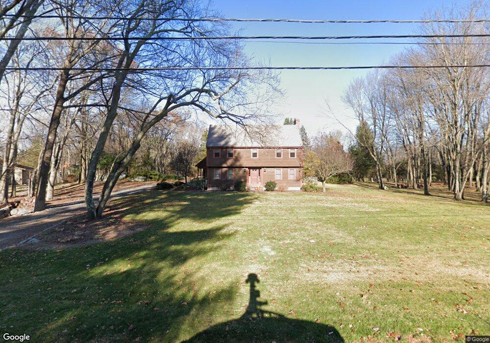
5 Bigelow Rd Southborough, MA 01772
Estimated Value: $928,789 - $1,049,000
4
Beds
3
Baths
2,501
Sq Ft
$394/Sq Ft
Est. Value
About This Home
This home is located at 5 Bigelow Rd, Southborough, MA 01772 and is currently estimated at $984,197, approximately $393 per square foot. 5 Bigelow Rd is a home located in Worcester County with nearby schools including Mary E Finn School, Albert S. Woodward Memorial School, and Margaret A. Neary School.
Ownership History
Date
Name
Owned For
Owner Type
Purchase Details
Closed on
Dec 6, 2023
Sold by
Kimball Louise W
Bought by
Louise W Kimball Ret and Kimball
Current Estimated Value
Purchase Details
Closed on
Oct 6, 2023
Sold by
Pineiro Ashlyn E and Kimball-Dorey Kristie L
Bought by
Kimball Louise W
Purchase Details
Closed on
Feb 17, 2023
Sold by
Kimball Lawrence P and Kimball Louise W
Bought by
Kimball Ft and Kimball-Dorey
Purchase Details
Closed on
Jul 18, 2007
Sold by
Kimball Lawrence P and Kimball Louise W
Bought by
Kimball Southborough R and Kimball K
Create a Home Valuation Report for This Property
The Home Valuation Report is an in-depth analysis detailing your home's value as well as a comparison with similar homes in the area
Home Values in the Area
Average Home Value in this Area
Purchase History
| Date | Buyer | Sale Price | Title Company |
|---|---|---|---|
| Louise W Kimball Ret | -- | None Available | |
| Louise W Kimball Ret | -- | None Available | |
| Kimball Louise W | -- | None Available | |
| Kimball Louise W | -- | None Available | |
| Kimball-Dorey Kristie L | -- | None Available | |
| Pineiro Ashlyn E | -- | None Available | |
| Kimball Ft | -- | None Available | |
| Kimball Lawrence P | -- | None Available | |
| Lawrence P Kimball Ft | -- | None Available | |
| Kimball Lawrence P | -- | None Available | |
| Kimball Southborough R | -- | -- | |
| Kimball Southborough R | -- | -- |
Source: Public Records
Tax History Compared to Growth
Tax History
| Year | Tax Paid | Tax Assessment Tax Assessment Total Assessment is a certain percentage of the fair market value that is determined by local assessors to be the total taxable value of land and additions on the property. | Land | Improvement |
|---|---|---|---|---|
| 2025 | $11,683 | $846,000 | $287,700 | $558,300 |
| 2024 | $10,896 | $783,300 | $287,700 | $495,600 |
| 2023 | $10,238 | $693,600 | $267,200 | $426,400 |
| 2022 | $9,755 | $599,200 | $237,200 | $362,000 |
| 2021 | $6,401 | $559,400 | $219,600 | $339,800 |
| 2020 | $4,487 | $551,300 | $207,300 | $344,000 |
| 2019 | $9,239 | $551,900 | $193,800 | $358,100 |
| 2018 | $8,678 | $537,700 | $188,800 | $348,900 |
| 2017 | $8,346 | $509,500 | $188,800 | $320,700 |
| 2016 | $8,239 | $520,800 | $184,000 | $336,800 |
| 2015 | $8,260 | $515,600 | $167,000 | $348,600 |
Source: Public Records
Map
Nearby Homes
- 14 High St
- 6 Walker St
- 8 Samuel Harrington Rd
- 15 Lovers Ln
- 14 Lovers Ln
- 43 Stearns Rd
- 379 Stearns Rd
- 181 Morrissey Rd
- 6 Eastbrook Farm Ln
- 120 Airport Blvd
- 105 Fisher Rd
- 56 Sears Rd
- 38 Haskell St
- 237 Brigham St
- lot 1 Sears Rd
- Lot 2 Quinn Rd
- 3112 Peters Farm Way Unit 112
- 11302 Peters Farm Way Unit 11302
- 11312 Peters Farm Way Unit 11312
- 3103 Peters Farm Way Unit 3103