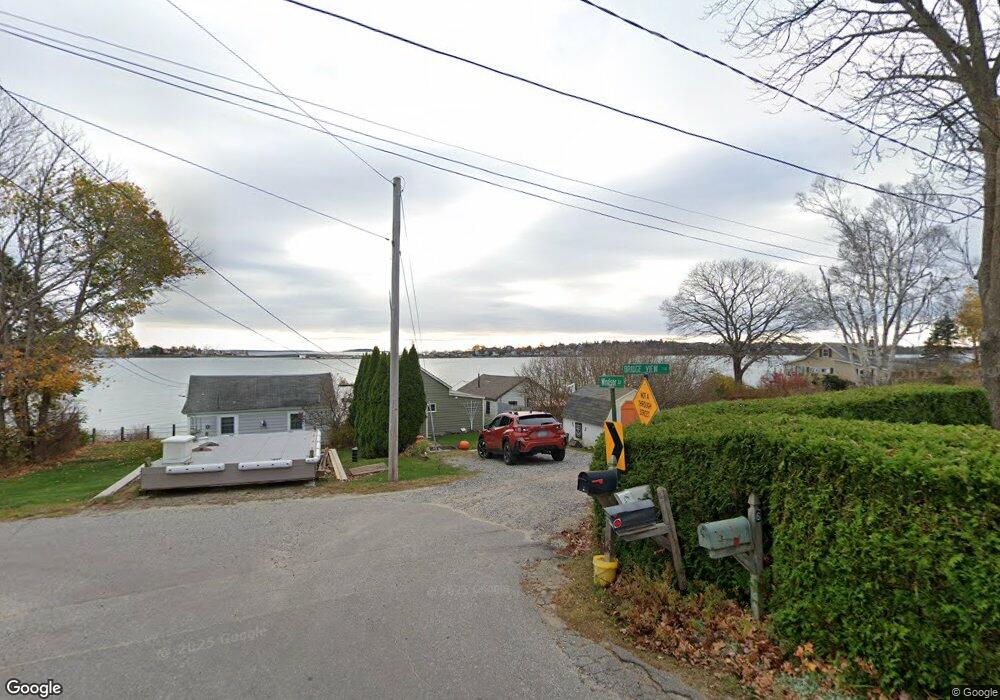
5 Bridge View Ln Harpswell, ME 04079
Harpswell Neck NeighborhoodEstimated Value: $346,000 - $481,000
1
Bed
--
Bath
416
Sq Ft
$947/Sq Ft
Est. Value
About This Home
This home is located at 5 Bridge View Ln, Harpswell, ME 04079 and is currently estimated at $393,795, approximately $946 per square foot. 5 Bridge View Ln is a home with nearby schools including Mt Ararat High School.
Ownership History
Date
Name
Owned For
Owner Type
Purchase Details
Closed on
Nov 15, 2023
Sold by
Pulk James A and Pulk Elaine F
Bought by
Carter Lisa A and Freeman Matthew R
Current Estimated Value
Purchase Details
Closed on
Jun 11, 2014
Sold by
Pulk James A and Pulk Elaine F
Bought by
Pulk James A and Pulk Elaine F
Purchase Details
Closed on
Jun 11, 2009
Sold by
Pulk Dennis A and Pulk Yachiko H
Bought by
Pulk Elaine F and Carter Lisa
Create a Home Valuation Report for This Property
The Home Valuation Report is an in-depth analysis detailing your home's value as well as a comparison with similar homes in the area
Home Values in the Area
Average Home Value in this Area
Purchase History
| Date | Buyer | Sale Price | Title Company |
|---|---|---|---|
| Carter Lisa A | -- | None Available | |
| Carter Lisa A | -- | None Available | |
| Pulk James A | -- | -- | |
| Pulk James A | -- | -- | |
| Pulk Elaine F | -- | -- | |
| Pulk Elaine F | -- | -- |
Source: Public Records
Tax History Compared to Growth
Tax History
| Year | Tax Paid | Tax Assessment Tax Assessment Total Assessment is a certain percentage of the fair market value that is determined by local assessors to be the total taxable value of land and additions on the property. | Land | Improvement |
|---|---|---|---|---|
| 2024 | $1,290 | $202,800 | $174,300 | $28,500 |
| 2023 | $1,237 | $202,800 | $174,300 | $28,500 |
| 2022 | $1,197 | $202,800 | $174,300 | $28,500 |
| 2021 | $1,322 | $195,600 | $163,700 | $31,900 |
| 2020 | $1,318 | $195,600 | $163,700 | $31,900 |
| 2019 | $1,311 | $195,600 | $163,700 | $31,900 |
| 2018 | $1,267 | $195,600 | $163,700 | $31,900 |
| 2017 | $1,264 | $195,600 | $163,700 | $31,900 |
| 2016 | $1,252 | $195,600 | $163,700 | $31,900 |
| 2015 | $1,221 | $195,600 | $163,700 | $31,900 |
| 2013 | $1,131 | $195,600 | $163,700 | $31,900 |
Source: Public Records
Map
Nearby Homes
- 10 Irene Ave
- 30 Osbourne Row
- 10 S Colony Branch Rd
- 16 Ash Point Rd Unit 16
- 18 Ash Point Rd
- 1450 Harpswell Neck Rd
- 1689 Harpswell Islands Rd
- 8 & 2 Kane Ln
- 87 Lowells Cove Rd
- 6 Kane Ln
- 19 Hugh Ave
- 1 Mallard Pond Rd
- 20 Spruce Ledge Rd
- 41 Spruce Brook Dr
- 0 Bayview Rd Unit 2 1632776
- Lot 2A Allen Point Rd
- Lot 2B Allen Point Rd
- 20 Long Point Island
- Lot 129 Harpswell Neck Rd
- lot C Long Point Rd
- 1 Bridge View Ln
- 18 Windsor Ln
- 4 Windsor Ln
- 8 Bridge View Ln
- 22 Windsor Ln
- 7 Bridge View Ln
- 6 Bridge View Ln
- 21 Windsor Ln
- 5 Annes Place
- 25 Stovers Ocean Ave
- 25 Stover's Ocean Ave
- 25 Stovers Oceanside Rd
- 11 Windsor Ln
- 7 Annes Place
- 23 Windsor Ln
- 19 Stovers Ocean Ave
- 25 Windsor Ln
- 26 Stovers Ocean Ave
- 22 Stovers Ocean Ave
- 1 Annes Place