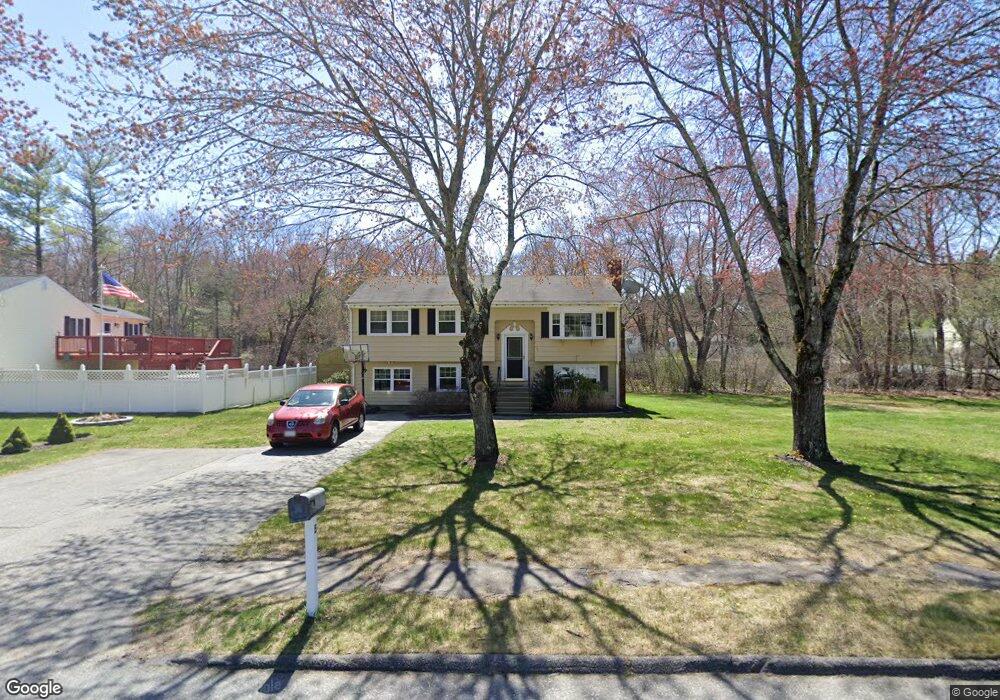
5 Brookside Dr Billerica, MA 01821
Estimated Value: $648,000 - $754,000
3
Beds
2
Baths
2,100
Sq Ft
$328/Sq Ft
Est. Value
About This Home
This home is located at 5 Brookside Dr, Billerica, MA 01821 and is currently estimated at $689,017, approximately $328 per square foot. 5 Brookside Dr is a home located in Middlesex County with nearby schools including Billerica Memorial High School.
Ownership History
Date
Name
Owned For
Owner Type
Purchase Details
Closed on
Dec 10, 2010
Sold by
Dunne Nathan J and Dunne Michelle L
Bought by
Donovan Cindy and Donovan John
Current Estimated Value
Home Financials for this Owner
Home Financials are based on the most recent Mortgage that was taken out on this home.
Original Mortgage
$285,000
Outstanding Balance
$188,485
Interest Rate
4.24%
Mortgage Type
Purchase Money Mortgage
Estimated Equity
$500,532
Purchase Details
Closed on
Apr 28, 2000
Sold by
Parent Roger A and Parent Elaine R
Bought by
Dunne Nathan J
Home Financials for this Owner
Home Financials are based on the most recent Mortgage that was taken out on this home.
Original Mortgage
$199,920
Interest Rate
8.23%
Mortgage Type
Purchase Money Mortgage
Purchase Details
Closed on
Nov 1, 1996
Sold by
Kubota S Koji and Kubota Shinichi
Bought by
Parent Roger A and Parent Elaine
Create a Home Valuation Report for This Property
The Home Valuation Report is an in-depth analysis detailing your home's value as well as a comparison with similar homes in the area
Home Values in the Area
Average Home Value in this Area
Purchase History
| Date | Buyer | Sale Price | Title Company |
|---|---|---|---|
| Donovan Cindy | $320,000 | -- | |
| Dunne Nathan J | $249,900 | -- | |
| Parent Roger A | $161,000 | -- |
Source: Public Records
Mortgage History
| Date | Status | Borrower | Loan Amount |
|---|---|---|---|
| Open | Donovan Cindy | $285,000 | |
| Previous Owner | Parent Roger A | $142,000 | |
| Previous Owner | Parent Roger A | $199,920 | |
| Previous Owner | Parent Roger A | $99,000 |
Source: Public Records
Tax History Compared to Growth
Tax History
| Year | Tax Paid | Tax Assessment Tax Assessment Total Assessment is a certain percentage of the fair market value that is determined by local assessors to be the total taxable value of land and additions on the property. | Land | Improvement |
|---|---|---|---|---|
| 2025 | $6,213 | $546,400 | $310,900 | $235,500 |
| 2024 | $5,718 | $506,500 | $301,000 | $205,500 |
| 2023 | $5,594 | $471,300 | $274,000 | $197,300 |
| 2022 | $5,122 | $405,200 | $234,100 | $171,100 |
| 2021 | $4,826 | $371,200 | $205,600 | $165,600 |
| 2020 | $4,717 | $363,100 | $197,500 | $165,600 |
| 2019 | $4,744 | $351,900 | $197,500 | $154,400 |
| 2018 | $4,541 | $320,000 | $175,600 | $144,400 |
| 2017 | $4,310 | $305,900 | $173,700 | $132,200 |
| 2016 | $4,269 | $301,900 | $169,700 | $132,200 |
| 2015 | $4,167 | $296,800 | $164,600 | $132,200 |
| 2014 | $4,217 | $295,100 | $159,500 | $135,600 |
Source: Public Records
Map
Nearby Homes
- 1501 Whipple Rd
- 48 Whipple Rd
- 51 Whipple Rd
- 31 Harjean Rd
- 31 Marie St
- 77 Whipple Rd
- 3 Primrose Rd
- 43 Palm Dr
- 70 Ronald Dr
- 1042 Chandler St
- 42 Fairmeadow Rd
- 29 Oregon Rd
- 95 Bellflower Rd
- 1138 Whipple Rd
- 2801 Pouliot Place
- 6 Stonebury Way Unit 6
- 8 Boisvert Rd
- 50 New Jersey Rd
- 102 Lords Ct
- 41 Russet Rd