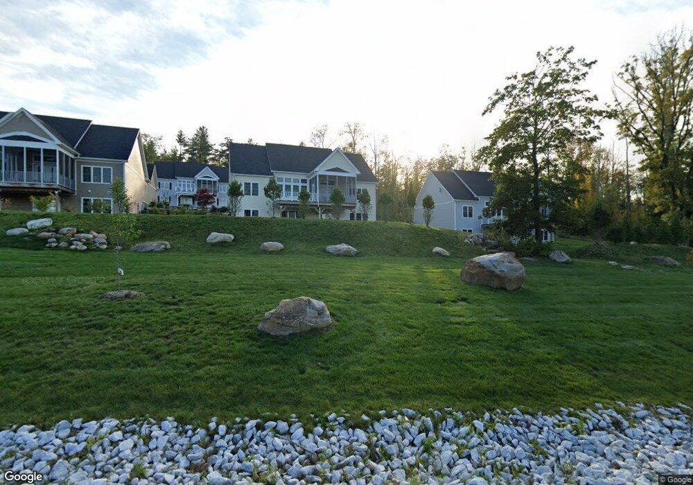
5 Burning Tree Rd Great Barrington, MA 01230
Estimated Value: $1,217,173 - $1,408,000
5
Beds
3
Baths
4,280
Sq Ft
$315/Sq Ft
Est. Value
About This Home
This home is located at 5 Burning Tree Rd, Great Barrington, MA 01230 and is currently estimated at $1,346,293, approximately $314 per square foot. 5 Burning Tree Rd is a home located in Berkshire County with nearby schools including Muddy Brook Regional Elementary School, W.E.B Du Bois Regional Middle School, and Monument Mountain Regional High School.
Ownership History
Date
Name
Owned For
Owner Type
Purchase Details
Closed on
Nov 2, 2018
Sold by
Eajones & Associates L
Bought by
Ferris Charles J and Mishcon Melissa E
Current Estimated Value
Home Financials for this Owner
Home Financials are based on the most recent Mortgage that was taken out on this home.
Original Mortgage
$382,500
Outstanding Balance
$334,949
Interest Rate
4.6%
Mortgage Type
New Conventional
Estimated Equity
$1,011,344
Purchase Details
Closed on
Jul 18, 2018
Sold by
Ctg At Barrington Brk
Bought by
Eajones & Assoc Llc
Create a Home Valuation Report for This Property
The Home Valuation Report is an in-depth analysis detailing your home's value as well as a comparison with similar homes in the area
Home Values in the Area
Average Home Value in this Area
Purchase History
| Date | Buyer | Sale Price | Title Company |
|---|---|---|---|
| Ferris Charles J | $765,000 | -- | |
| Eajones & Assoc Llc | $539,000 | -- |
Source: Public Records
Mortgage History
| Date | Status | Borrower | Loan Amount |
|---|---|---|---|
| Open | Ferris Charles J | $382,500 |
Source: Public Records
Tax History Compared to Growth
Tax History
| Year | Tax Paid | Tax Assessment Tax Assessment Total Assessment is a certain percentage of the fair market value that is determined by local assessors to be the total taxable value of land and additions on the property. | Land | Improvement |
|---|---|---|---|---|
| 2025 | $12,375 | $897,400 | $0 | $897,400 |
| 2024 | $11,948 | $860,200 | $0 | $860,200 |
| 2023 | $13,396 | $976,600 | $0 | $976,600 |
| 2022 | $13,396 | $901,500 | $0 | $901,500 |
| 2019 | $10,830 | $688,900 | $0 | $688,900 |
| 2018 | $10,113 | $675,100 | $0 | $675,100 |
| 2017 | $3,906 | $267,500 | $0 | $267,500 |
| 2016 | -- | $0 | $0 | $0 |
| 2015 | -- | $0 | $0 | $0 |
Source: Public Records
Map
Nearby Homes
- 105 Christian Hill Rd
- 126 Christian Hill Rd
- 10 Thrushwood Ln
- 4 Thrushwood Ln
- 162 Alford Rd
- 21 Kalliste Hill
- 0 Hemlock Hill Rd
- 69 Welcome St
- 7 Abbey Hill Dr
- 87 Alford Rd
- 28 Pearl St
- 111 Castle Hill Ave
- 0 Lake Ave
- 70 Main St
- 176 Division St
- 20 Prospect St
- 35 Mechanic St
- 110 Alford Rd
- 5 Seekonk Rd
- 220 N Plain Rd
- 12 Burning Tree Rd Unit 12
- 31 Burning Tree Rd
- 9 Burning Tree Rd
- 9 Burning Tree Rd Unit 9
- 13 Burning Tree Rd
- 13 Burning Tree Rd Unit 19
- 7 Burning Tree Rd
- 1 Burning Tree Rd
- 6 Burning Tree Rd
- Lot #3 Burning Tree Rd
- 11 Burning Tree Rd
- 16 Burning Tree Rd
- 0 Burning Tree Rd Unit 29
- 18 Burning Tree Rd
- 4 Burning Tree Rd
- 4 Burning Tree Rd
- 19 Burning Tree Rd
- 2 Burning Tree Rd
- 26 Burning Tree Rd
- 3 Burning Tree Rd