5 Carriage Runn Berwick, ME 03901
Estimated Value: $465,000 - $498,000
3
Beds
2
Baths
1,655
Sq Ft
$291/Sq Ft
Est. Value
About This Home
This home is located at 5 Carriage Runn, Berwick, ME 03901 and is currently estimated at $481,935, approximately $291 per square foot. 5 Carriage Runn is a home located in York County with nearby schools including Noble High School, Berwick Academy, and Seacoast Christian School.
Ownership History
Date
Name
Owned For
Owner Type
Purchase Details
Closed on
Jun 26, 2007
Sold by
Hill Rachelle D and Hill Jacob A
Bought by
Thompson Sheila A
Current Estimated Value
Home Financials for this Owner
Home Financials are based on the most recent Mortgage that was taken out on this home.
Original Mortgage
$204,000
Outstanding Balance
$125,090
Interest Rate
6.14%
Mortgage Type
Unknown
Estimated Equity
$356,845
Create a Home Valuation Report for This Property
The Home Valuation Report is an in-depth analysis detailing your home's value as well as a comparison with similar homes in the area
Home Values in the Area
Average Home Value in this Area
Purchase History
| Date | Buyer | Sale Price | Title Company |
|---|---|---|---|
| Thompson Sheila A | -- | -- |
Source: Public Records
Mortgage History
| Date | Status | Borrower | Loan Amount |
|---|---|---|---|
| Open | Thompson Sheila A | $27,300 | |
| Open | Thompson Sheila A | $204,000 | |
| Closed | Thompson Sheila A | $25,500 |
Source: Public Records
Tax History Compared to Growth
Tax History
| Year | Tax Paid | Tax Assessment Tax Assessment Total Assessment is a certain percentage of the fair market value that is determined by local assessors to be the total taxable value of land and additions on the property. | Land | Improvement |
|---|---|---|---|---|
| 2024 | $5,441 | $436,300 | $163,300 | $273,000 |
| 2023 | $4,408 | $240,600 | $93,600 | $147,000 |
| 2022 | $4,384 | $240,600 | $93,600 | $147,000 |
| 2021 | $4,403 | $240,600 | $93,600 | $147,000 |
| 2020 | $4,658 | $240,600 | $93,600 | $147,000 |
| 2019 | $4,151 | $236,800 | $93,600 | $143,200 |
| 2018 | $4,083 | $232,000 | $89,300 | $142,700 |
| 2017 | $3,979 | $232,000 | $89,300 | $142,700 |
| 2016 | $3,782 | $232,000 | $89,300 | $142,700 |
| 2014 | $3,689 | $232,000 | $89,300 | $142,700 |
| 2013 | $3,724 | $232,000 | $89,300 | $142,700 |
Source: Public Records
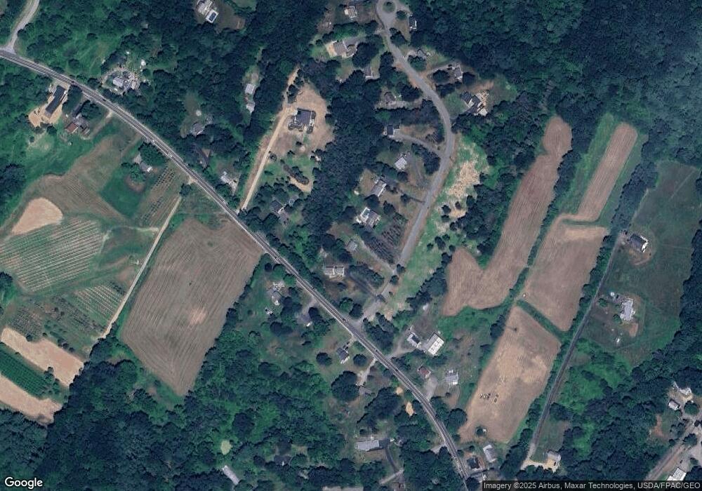
Map
Nearby Homes