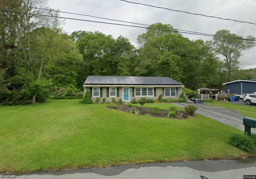
5 Cartridge Trail Ledyard, CT 06339
Estimated Value: $359,000 - $411,000
3
Beds
1
Bath
1,440
Sq Ft
$262/Sq Ft
Est. Value
About This Home
This home is located at 5 Cartridge Trail, Ledyard, CT 06339 and is currently estimated at $376,586, approximately $261 per square foot. 5 Cartridge Trail is a home located in New London County with nearby schools including Ledyard Middle School and Ledyard High School.
Ownership History
Date
Name
Owned For
Owner Type
Purchase Details
Closed on
Aug 26, 2002
Sold by
Cash Tamara S and Cash William M
Bought by
Brunelle William J and Brunelle April A
Current Estimated Value
Purchase Details
Closed on
Dec 16, 1999
Sold by
Goodreds Gregory A and Goodreds Susan M
Bought by
Cash William M and Cash Tamara S
Purchase Details
Closed on
Jul 29, 1996
Sold by
Keenan Wayne A
Bought by
Goodreds Gregory A and Goodreds Susan M
Create a Home Valuation Report for This Property
The Home Valuation Report is an in-depth analysis detailing your home's value as well as a comparison with similar homes in the area
Home Values in the Area
Average Home Value in this Area
Purchase History
| Date | Buyer | Sale Price | Title Company |
|---|---|---|---|
| Brunelle William J | $142,000 | -- | |
| Cash William M | $105,000 | -- | |
| Goodreds Gregory A | $90,000 | -- |
Source: Public Records
Mortgage History
| Date | Status | Borrower | Loan Amount |
|---|---|---|---|
| Open | Goodreds Gregory A | $318,000 | |
| Closed | Goodreds Gregory A | $47,000 | |
| Closed | Goodreds Gregory A | $143,625 |
Source: Public Records
Tax History Compared to Growth
Tax History
| Year | Tax Paid | Tax Assessment Tax Assessment Total Assessment is a certain percentage of the fair market value that is determined by local assessors to be the total taxable value of land and additions on the property. | Land | Improvement |
|---|---|---|---|---|
| 2025 | $5,051 | $136,010 | $42,420 | $93,590 |
| 2024 | $4,789 | $136,010 | $42,420 | $93,590 |
| 2023 | $4,701 | $136,010 | $42,420 | $93,590 |
| 2022 | $4,600 | $136,010 | $42,420 | $93,590 |
| 2021 | $4,570 | $136,010 | $42,420 | $93,590 |
| 2020 | $3,956 | $113,120 | $33,950 | $79,170 |
| 2019 | $3,966 | $113,120 | $33,950 | $79,170 |
| 2018 | $3,879 | $113,120 | $33,950 | $79,170 |
| 2017 | $3,515 | $108,010 | $33,950 | $74,060 |
| 2016 | $3,446 | $108,010 | $33,950 | $74,060 |
| 2015 | $3,284 | $108,010 | $33,950 | $74,060 |
| 2014 | $3,491 | $116,760 | $33,950 | $82,810 |
Source: Public Records
Map
Nearby Homes
- 12 Cartridge Trail
- 7 Captain Amos Stanton Dr
- 113 Meeting House Ln
- 148 Gallup Hill Rd
- 115 Meeting House Ln
- 120 Gallup Hill Rd Unit 2A
- 120 Gallup Hill Rd Unit 3C
- 61 Town Farm Rd
- 5 Sachem Ln
- 22 Boulder Way
- 22 Cliff Rd
- 6 Lakeside Dr Unit P
- 20 Lakeside Dr Unit P
- 4 Lakeside Dr Unit L
- 7 Chidley Way
- 155 Iron St
- 134 Iron St
- 452 Colonel Ledyard Hwy
- 45R Long Pond Rd S
- 173 Lambtown Rd
- 7 Cartridge Trail
- 1 Cartridge Trail
- 20 Blacksmith Dr
- 22 Blacksmith Dr
- 14 Blacksmith Dr
- 8 Cartridge Trail
- 17 Blacksmith Dr
- 11 Cartridge Trail
- 24 Blacksmith Dr
- 10 Cartridge Trail
- 12 Blacksmith Dr
- 15 Blacksmith Dr
- 25 Highland Dr
- 19 Blacksmith Dr
- 27 Highland Dr
- 9 Cartridge Trail
- 13 Blacksmith Dr
- 13 Cartridge Trail
- 26 Blacksmith Dr
- 10 Blacksmith Dr