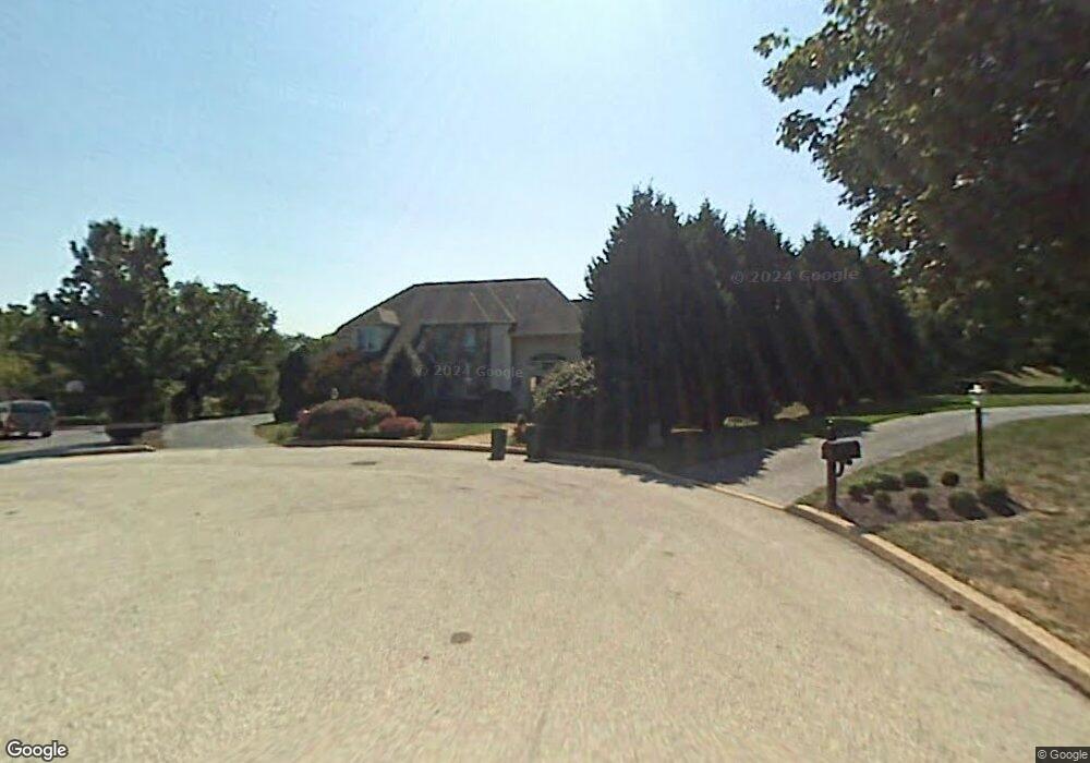
5 Cedar Crest Cir Broomall, PA 19008
Marple NeighborhoodEstimated Value: $1,020,000 - $1,175,107
4
Beds
4
Baths
4,314
Sq Ft
$251/Sq Ft
Est. Value
About This Home
This home is located at 5 Cedar Crest Cir, Broomall, PA 19008 and is currently estimated at $1,083,777, approximately $251 per square foot. 5 Cedar Crest Cir is a home located in Delaware County with nearby schools including Russell Elementary School, Paxon Hollow Middle School, and Marple Newtown Senior High School.
Ownership History
Date
Name
Owned For
Owner Type
Purchase Details
Closed on
Jan 24, 2007
Sold by
Holtsberg Michael G
Bought by
Holtsberg Michael G and Holtsberg Julie Fisher
Current Estimated Value
Purchase Details
Closed on
May 20, 2002
Sold by
Burns Patrick and Burns Helen
Bought by
Holtsberg Michael G
Home Financials for this Owner
Home Financials are based on the most recent Mortgage that was taken out on this home.
Original Mortgage
$200,000
Outstanding Balance
$81,892
Interest Rate
6.5%
Estimated Equity
$1,001,885
Create a Home Valuation Report for This Property
The Home Valuation Report is an in-depth analysis detailing your home's value as well as a comparison with similar homes in the area
Home Values in the Area
Average Home Value in this Area
Purchase History
| Date | Buyer | Sale Price | Title Company |
|---|---|---|---|
| Holtsberg Michael G | -- | None Available | |
| Holtsberg Michael G | $605,000 | -- |
Source: Public Records
Mortgage History
| Date | Status | Borrower | Loan Amount |
|---|---|---|---|
| Open | Holtsberg Michael G | $200,000 |
Source: Public Records
Tax History
| Year | Tax Paid | Tax Assessment Tax Assessment Total Assessment is a certain percentage of the fair market value that is determined by local assessors to be the total taxable value of land and additions on the property. | Land | Improvement |
|---|---|---|---|---|
| 2025 | $9,858 | $570,440 | $167,750 | $402,690 |
| 2024 | $9,858 | $570,440 | $167,750 | $402,690 |
| 2023 | $9,545 | $570,440 | $167,750 | $402,690 |
| 2022 | $9,364 | $570,440 | $167,750 | $402,690 |
| 2021 | $14,132 | $570,440 | $167,750 | $402,690 |
| 2020 | $10,083 | $350,400 | $95,720 | $254,680 |
| 2019 | $9,962 | $350,400 | $95,720 | $254,680 |
| 2018 | $9,859 | $350,400 | $0 | $0 |
| 2017 | $9,863 | $350,400 | $0 | $0 |
| 2016 | $1,962 | $350,400 | $0 | $0 |
| 2015 | $1,962 | $350,400 | $0 | $0 |
| 2014 | $1,962 | $350,400 | $0 | $0 |
Source: Public Records
Map
Nearby Homes
- 2500 Grant Rd
- 980 Palmers Mill Rd
- 0 CED Cedar Grove Rd
- 127 Springton Mews Cir Unit 14
- 0 Cedar Grove Rd Unit PADE2105298
- 104 Gibson Ct
- 106 Gibson Ct
- 608 Dolores Dr
- 101 Eagle Dr
- 113 Eagle Dr
- 105 Eagle Dr
- 103 Eagle Dr
- 2213 Windsor Cir
- 106 Eagle Dr
- 104 Eagle Dr
- 3607 Gradyville Rd
- 3609 Gradyville Rd
- 691 Media Line Rd
- 327 Netherington Dr
- Lot 16 Bellflower Ln
Your Personal Tour Guide
Ask me questions while you tour the home.