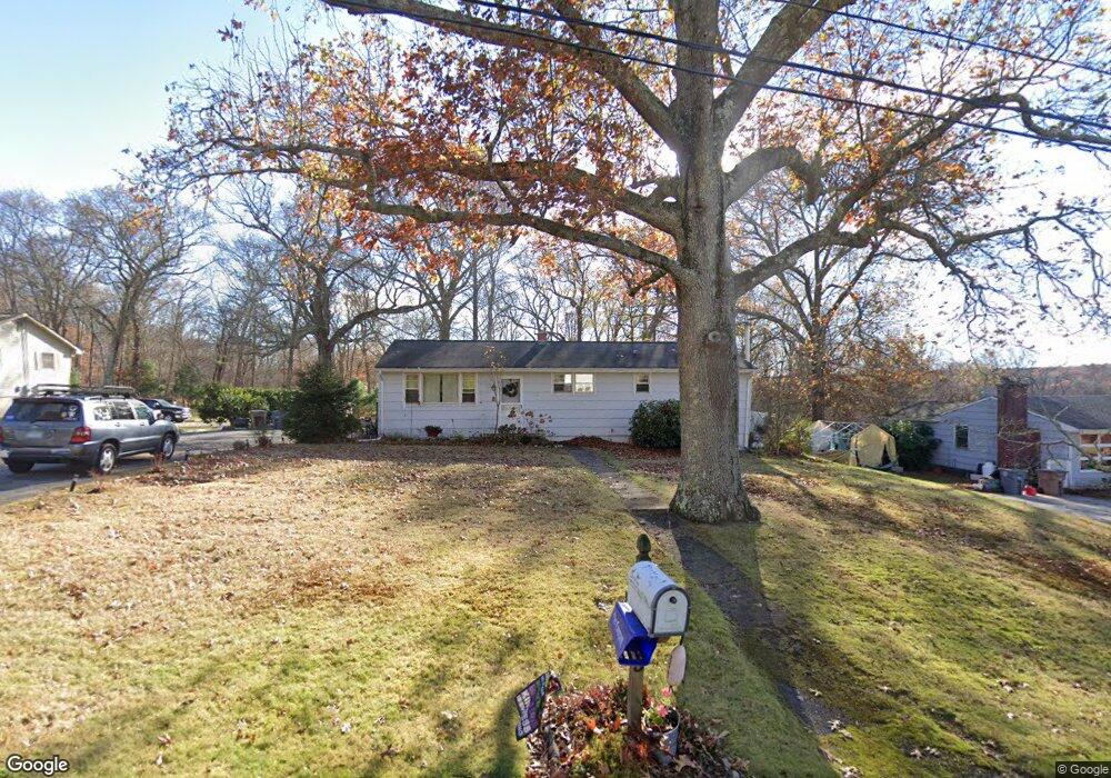
5 Cedar Ridge Rd East Lyme, CT 06333
Estimated Value: $377,000 - $420,437
4
Beds
2
Baths
1,300
Sq Ft
$306/Sq Ft
Est. Value
About This Home
This home is located at 5 Cedar Ridge Rd, East Lyme, CT 06333 and is currently estimated at $397,359, approximately $305 per square foot. 5 Cedar Ridge Rd is a home located in New London County with nearby schools including East Lyme Middle School, East Lyme High School, and Carelot Children's Center - East Lyme.
Ownership History
Date
Name
Owned For
Owner Type
Purchase Details
Closed on
Jul 30, 1993
Sold by
Smith Frank and Smith Elaine C
Bought by
Barner Jerome A and Barner Deborah A
Current Estimated Value
Home Financials for this Owner
Home Financials are based on the most recent Mortgage that was taken out on this home.
Original Mortgage
$122,879
Interest Rate
2%
Mortgage Type
Unknown
Create a Home Valuation Report for This Property
The Home Valuation Report is an in-depth analysis detailing your home's value as well as a comparison with similar homes in the area
Home Values in the Area
Average Home Value in this Area
Purchase History
| Date | Buyer | Sale Price | Title Company |
|---|---|---|---|
| Barner Jerome A | $122,900 | -- |
Source: Public Records
Mortgage History
| Date | Status | Borrower | Loan Amount |
|---|---|---|---|
| Closed | Barner Jerome A | $20,000 | |
| Closed | Barner Jerome A | $180,000 | |
| Closed | Barner Jerome A | $17,000 | |
| Closed | Barner Jerome A | $122,879 |
Source: Public Records
Tax History Compared to Growth
Tax History
| Year | Tax Paid | Tax Assessment Tax Assessment Total Assessment is a certain percentage of the fair market value that is determined by local assessors to be the total taxable value of land and additions on the property. | Land | Improvement |
|---|---|---|---|---|
| 2025 | $5,486 | $195,860 | $88,690 | $107,170 |
| 2024 | $5,161 | $195,860 | $88,690 | $107,170 |
| 2023 | $4,873 | $195,860 | $88,690 | $107,170 |
| 2022 | $4,669 | $195,860 | $88,690 | $107,170 |
| 2021 | $4,387 | $153,860 | $84,210 | $69,650 |
| 2020 | $4,346 | $153,230 | $84,210 | $69,020 |
| 2019 | $4,320 | $153,230 | $84,210 | $69,020 |
| 2018 | $4,191 | $153,230 | $84,210 | $69,020 |
| 2017 | $4,008 | $153,230 | $84,210 | $69,020 |
| 2016 | $3,728 | $147,000 | $79,800 | $67,200 |
| 2015 | $3,632 | $147,000 | $79,800 | $67,200 |
| 2014 | $3,532 | $147,000 | $79,800 | $67,200 |
Source: Public Records
Map
Nearby Homes
- 496 Boston Post Rd
- 270 N Bride Brook Rd
- 223 N Bride Brook Rd
- 420 Boston Post Rd
- 57 Spring Rock Rd
- 287 Boston Post Rd
- Waramaug Plan at Riverside Reserve
- Highland Plan at Riverside Reserve
- Hayward Plan at Riverside Reserve
- Ashford Plan at Riverside Reserve
- Lillinonah Plan at Riverside Reserve
- 16 Twin Valley Rd
- 18 Twin Valley Rd
- 13 Willow Ln
- 6 Marion Dr
- 25 Marion Dr
- 5 Pumpkin Grove
- 11 Pumpkin Grove
- 14 Pumpkin Grove
- 28 Alexander Dr
- 7 Cedar Ridge Rd
- 3 Cedar Ridge Rd
- 476 Boston Post Rd
- 9 Cedar Ridge Rd
- 2 Cedar Ridge Rd
- 4 Cedar Ridge Rd
- 482 Boston Post Rd
- 6 Cedar Ridge Rd
- 470 Boston Post Rd
- 10 Cedar Ridge Rd
- 11 Cedar Ridge Rd
- 480 Boston Post Rd
- 12 Cedar Ridge Rd
- 468R Boston Post Rd
- 486 Boston Post Rd
- 468 Boston Post Rd
- 19 Applewood Common
- 490 Boston Post Rd
- 15 Applewood Common
- 466 Boston Post Rd