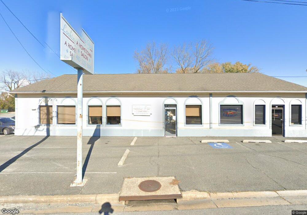
5 Cedar St Unit C Cambridge, MD 21613
Estimated Value: $671,841
Studio
--
Bath
2,774
Sq Ft
$242/Sq Ft
Est. Value
About This Home
This home is located at 5 Cedar St Unit C, Cambridge, MD 21613 and is currently estimated at $671,841, approximately $242 per square foot. 5 Cedar St Unit C is a home located in Dorchester County with nearby schools including Choptank Elementary School, Mace's Lane Middle School, and Cambridge-South Dorchester High School.
Ownership History
Date
Name
Owned For
Owner Type
Purchase Details
Closed on
May 21, 2004
Sold by
North James T and Robert North C
Bought by
Looking Good Llc
Current Estimated Value
Purchase Details
Closed on
Jan 4, 1989
Sold by
Thurman Richard C
Bought by
North James T and North Robert C
Purchase Details
Closed on
Oct 28, 1983
Sold by
Handley Edwin D and Handley Ruby I
Bought by
Thurman Richard C
Create a Home Valuation Report for This Property
The Home Valuation Report is an in-depth analysis detailing your home's value as well as a comparison with similar homes in the area
Home Values in the Area
Average Home Value in this Area
Purchase History
| Date | Buyer | Sale Price | Title Company |
|---|---|---|---|
| Looking Good Llc | $315,000 | -- | |
| North James T | $100,000 | -- | |
| Thurman Richard C | $75,000 | -- |
Source: Public Records
Tax History
| Year | Tax Paid | Tax Assessment Tax Assessment Total Assessment is a certain percentage of the fair market value that is determined by local assessors to be the total taxable value of land and additions on the property. | Land | Improvement |
|---|---|---|---|---|
| 2025 | $4,660 | $248,100 | $55,700 | $192,400 |
| 2024 | $4,413 | $243,433 | $0 | $0 |
| 2023 | $4,413 | $238,767 | $0 | $0 |
| 2022 | $4,327 | $234,100 | $55,700 | $178,400 |
| 2021 | $4,415 | $234,100 | $55,700 | $178,400 |
| 2020 | $4,415 | $234,100 | $55,700 | $178,400 |
| 2019 | $4,816 | $252,600 | $55,700 | $196,900 |
| 2018 | $4,690 | $252,600 | $55,700 | $196,900 |
| 2017 | $4,690 | $252,600 | $0 | $0 |
| 2016 | -- | $275,600 | $0 | $0 |
| 2015 | -- | $275,600 | $0 | $0 |
| 2014 | -- | $275,600 | $0 | $0 |
Source: Public Records
Map
Nearby Homes
- 322 Shipyard Dr Unit 82
- 317 Shipyard Dr Unit 67
- 301 Dorchester Ave
- 413 Waterfield Ct
- 510 Marshy Cove
- 603 Roslyn Ave
- 900 Marshy Cove
- 900 Marshy Cove
- 900 Marshy Cove
- 311 Riverside Ln
- 26 Riverside Wharf
- 10 Riverside Wharf
- 309 Maryland Ave
- 343 Shipyard Dr
- 700 Cattail Cove
- 700 Cattail Cove Unit 302
- 700 Cattail Cove
- 202 Muir St
- 206 Maryland Ave
- 300 Muir St
- 5 Cedar St
- 335 Dorchester Ave
- 333 Dorchester Ave
- 7 Cedar St
- 331 Dorchester Ave
- 329 Dorchester Ave
- 10 Cedar St
- 327 Dorchester Ave
- 325 Dorchester Ave
- 339 Shipyard Dr
- 333 Shipyard Dr
- 331 Shipyard Dr
- 341 Shipyard Dr
- 401 Dorchester Ave Unit D
- 401 Dorchester Ave Unit B
- 401 Dorchester Ave
- 319 Dorchester Ave
- 336 Shipyard Dr
- 342 Shipyard Dr
- 340 Shipyard Dr
Your Personal Tour Guide
Ask me questions while you tour the home.