5 Cedargate Ln Westport, CT 06880
Staples NeighborhoodEstimated Value: $2,248,000 - $2,876,000
4
Beds
6
Baths
4,211
Sq Ft
$592/Sq Ft
Est. Value
About This Home
This home is located at 5 Cedargate Ln, Westport, CT 06880 and is currently estimated at $2,494,658, approximately $592 per square foot. 5 Cedargate Ln is a home located in Fairfield County with nearby schools including Saugatuck Elementary School, Bedford Middle School, and Staples High School.
Ownership History
Date
Name
Owned For
Owner Type
Purchase Details
Closed on
Aug 11, 2004
Sold by
Ghosh Elsa M
Bought by
Stammer Paulette
Current Estimated Value
Purchase Details
Closed on
Nov 23, 1998
Sold by
Woodard Eugene and Woodard Janice
Bought by
Ghosh Ranjit and Ghosh Elsa
Home Financials for this Owner
Home Financials are based on the most recent Mortgage that was taken out on this home.
Original Mortgage
$425,000
Interest Rate
5.63%
Purchase Details
Closed on
Aug 14, 1987
Sold by
Partnersinc Whitney
Bought by
Woodland Eugene
Create a Home Valuation Report for This Property
The Home Valuation Report is an in-depth analysis detailing your home's value as well as a comparison with similar homes in the area
Home Values in the Area
Average Home Value in this Area
Purchase History
| Date | Buyer | Sale Price | Title Company |
|---|---|---|---|
| Stammer Paulette | $1,425,000 | -- | |
| Stammer Paulette | $1,425,000 | -- | |
| Ghosh Ranjit | $925,000 | -- | |
| Ghosh Ranjit | $925,000 | -- | |
| Woodland Eugene | $955,000 | -- |
Source: Public Records
Mortgage History
| Date | Status | Borrower | Loan Amount |
|---|---|---|---|
| Open | Woodland Eugene | $500,000 | |
| Closed | Woodland Eugene | $200,000 | |
| Previous Owner | Woodland Eugene | $425,000 |
Source: Public Records
Tax History Compared to Growth
Tax History
| Year | Tax Paid | Tax Assessment Tax Assessment Total Assessment is a certain percentage of the fair market value that is determined by local assessors to be the total taxable value of land and additions on the property. | Land | Improvement |
|---|---|---|---|---|
| 2025 | $15,790 | $837,200 | $378,600 | $458,600 |
| 2024 | $15,589 | $837,200 | $378,600 | $458,600 |
| 2023 | $15,363 | $837,200 | $378,600 | $458,600 |
| 2022 | $15,128 | $837,200 | $378,600 | $458,600 |
| 2021 | $15,128 | $837,200 | $378,600 | $458,600 |
| 2020 | $15,639 | $935,900 | $399,300 | $536,600 |
| 2019 | $7,446 | $935,900 | $399,300 | $536,600 |
| 2018 | $9,238 | $935,900 | $399,300 | $536,600 |
| 2017 | $15,779 | $935,900 | $399,300 | $536,600 |
| 2016 | $15,779 | $935,900 | $399,300 | $536,600 |
| 2015 | $15,771 | $871,800 | $286,800 | $585,000 |
| 2014 | $15,640 | $871,800 | $286,800 | $585,000 |
Source: Public Records
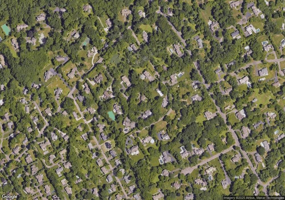
Map
Nearby Homes
- 2 Webb Rd
- 32 Webb Rd
- 116 Roseville Rd
- 28 Crescent Park Rd
- 26 Crescent Park Rd
- 9 Crescent Park Rd
- 19A Darbrook Rd
- 785 Post Rd E Unit 301
- 785 Post Rd E Unit 303
- 785 Post Rd E Unit 302
- 785 Post Rd E Unit 201
- 785 Post Rd E Unit 304
- 785 Post Rd E Unit 102
- 785 Post Rd E Unit 104
- 19 Joann Cir
- 9 Burr Farms Rd
- 4 Burr Farms Rd
- 13 Terhune Dr
- 16 Burr School Rd
- 14 Burr School Rd