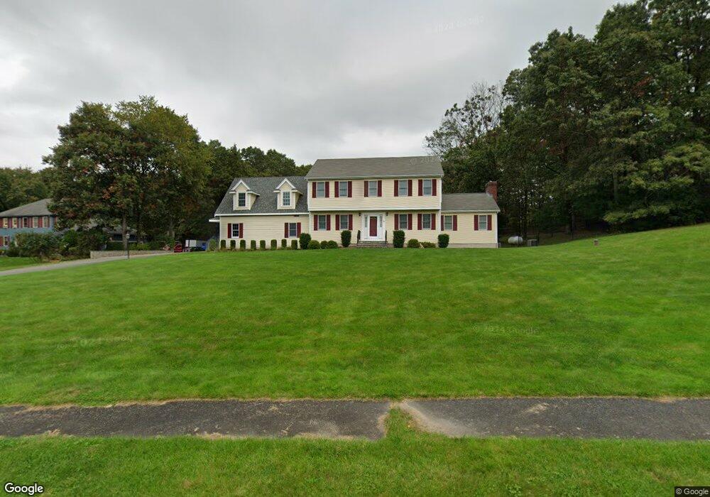
5 Charles Samuel Way Foxboro, MA 02035
Estimated Value: $863,000 - $1,101,844
4
Beds
3
Baths
3,552
Sq Ft
$285/Sq Ft
Est. Value
About This Home
This home is located at 5 Charles Samuel Way, Foxboro, MA 02035 and is currently estimated at $1,011,961, approximately $284 per square foot. 5 Charles Samuel Way is a home located in Norfolk County with nearby schools including Foxborough High School, Foxborough Regional Charter School, and The Sage School.
Ownership History
Date
Name
Owned For
Owner Type
Purchase Details
Closed on
Jan 28, 2025
Sold by
Mclaughlin Steven P and Mclaughlin Kathleen A
Bought by
Steven Mclaughlin T and Steven Mclaughlin
Current Estimated Value
Purchase Details
Closed on
Mar 18, 1994
Sold by
Crc Rt
Bought by
Cliffwood Constr Corp
Create a Home Valuation Report for This Property
The Home Valuation Report is an in-depth analysis detailing your home's value as well as a comparison with similar homes in the area
Home Values in the Area
Average Home Value in this Area
Purchase History
| Date | Buyer | Sale Price | Title Company |
|---|---|---|---|
| Steven Mclaughlin T | -- | None Available | |
| Steven Mclaughlin T | -- | None Available | |
| Cliffwood Constr Corp | $85,000 | -- |
Source: Public Records
Mortgage History
| Date | Status | Borrower | Loan Amount |
|---|---|---|---|
| Previous Owner | Cliffwood Constr Corp | $140,000 | |
| Previous Owner | Cliffwood Constr Corp | $100,000 | |
| Previous Owner | Cliffwood Constr Corp | $15,000 |
Source: Public Records
Tax History Compared to Growth
Tax History
| Year | Tax Paid | Tax Assessment Tax Assessment Total Assessment is a certain percentage of the fair market value that is determined by local assessors to be the total taxable value of land and additions on the property. | Land | Improvement |
|---|---|---|---|---|
| 2025 | $12,133 | $917,800 | $290,500 | $627,300 |
| 2024 | $11,566 | $856,100 | $295,500 | $560,600 |
| 2023 | $11,119 | $782,500 | $281,700 | $500,800 |
| 2022 | $10,356 | $713,200 | $236,700 | $476,500 |
| 2021 | $9,958 | $675,600 | $219,300 | $456,300 |
| 2020 | $9,641 | $661,700 | $219,300 | $442,400 |
| 2019 | $9,164 | $623,400 | $208,900 | $414,500 |
| 2018 | $8,931 | $613,000 | $208,900 | $404,100 |
| 2017 | $8,267 | $549,700 | $195,300 | $354,400 |
| 2016 | $8,274 | $558,300 | $197,000 | $361,300 |
| 2015 | $8,280 | $545,100 | $166,900 | $378,200 |
| 2014 | $7,907 | $527,500 | $156,100 | $371,400 |
Source: Public Records
Map
Nearby Homes
- 16 Treasure Island Rd
- 9 Oak Dr
- 406 South St
- 80 Mill St
- 126 Washington St
- 130 Washington St
- 124 Washington St
- 160 Washington St Unit 36
- 158 Washington St
- 483 Thurston St
- 120 Hawes St
- 24 Maverick Dr
- 116 George St
- 28 Messenger St
- 9 Sunnyside Dr Unit 9
- 5 Old Wood Rd
- 15 Old Wood Rd
- 65 Pond St
- 10 Sleepy Hollow Cir
- 11 Landry Ave
- 7 Charles Samuel Way
- 3 Charles Samuel Way
- 6 Charles Samuel Way
- 1 Charles Samuel Way
- 3 Standish Ave
- 4 Standish Ave
- 4 Standish Ave
- 4 Charles Samuel Way
- 2 Charles Samuel Way
- 2 Standish Ave
- 105 Spruce St
- 109 Spruce St
- 94 Spruce St
- 1 Standish Ave
- 100 Spruce St
- 92 Spruce St
- 76 Mirimichi St
- 80 Spruce St
- 104 Spruce St
- 90 Spruce St