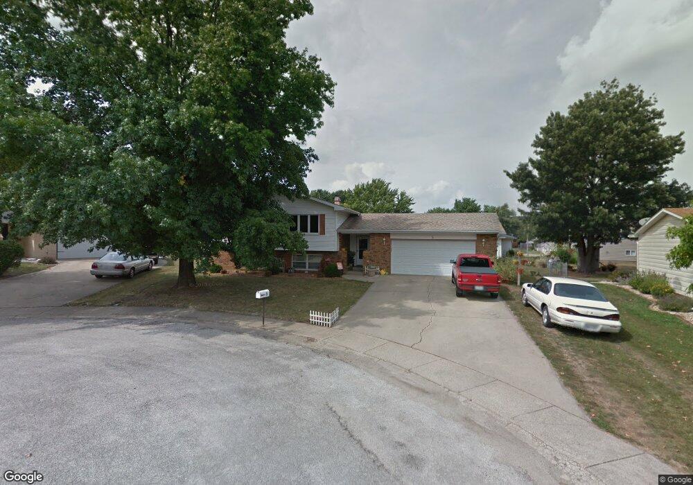
5 Chestnut Ct Clinton, IL 61727
Estimated Value: $215,000 - $234,086
3
Beds
3
Baths
2,542
Sq Ft
$88/Sq Ft
Est. Value
About This Home
This home is located at 5 Chestnut Ct, Clinton, IL 61727 and is currently estimated at $223,522, approximately $87 per square foot. 5 Chestnut Ct is a home located in De Witt County with nearby schools including Clinton High School and Clinton Christian Academy.
Ownership History
Date
Name
Owned For
Owner Type
Purchase Details
Closed on
Nov 30, 2010
Sold by
Brinkley Nicolas K
Bought by
Dusch Raymond B and Dusch Debra S
Current Estimated Value
Home Financials for this Owner
Home Financials are based on the most recent Mortgage that was taken out on this home.
Original Mortgage
$139,200
Outstanding Balance
$91,967
Interest Rate
4.22%
Estimated Equity
$131,555
Create a Home Valuation Report for This Property
The Home Valuation Report is an in-depth analysis detailing your home's value as well as a comparison with similar homes in the area
Home Values in the Area
Average Home Value in this Area
Purchase History
| Date | Buyer | Sale Price | Title Company |
|---|---|---|---|
| Dusch Raymond B | $174,000 | -- |
Source: Public Records
Mortgage History
| Date | Status | Borrower | Loan Amount |
|---|---|---|---|
| Open | Dusch Raymond B | $139,200 |
Source: Public Records
Tax History
| Year | Tax Paid | Tax Assessment Tax Assessment Total Assessment is a certain percentage of the fair market value that is determined by local assessors to be the total taxable value of land and additions on the property. | Land | Improvement |
|---|---|---|---|---|
| 2024 | $5,058 | $70,717 | $9,917 | $60,800 |
| 2023 | $4,691 | $64,405 | $9,032 | $55,373 |
| 2022 | $4,464 | $60,760 | $8,521 | $52,239 |
| 2021 | $4,361 | $58,990 | $8,273 | $50,717 |
| 2020 | $4,514 | $58,990 | $8,273 | $50,717 |
| 2019 | $4,543 | $58,990 | $8,273 | $50,717 |
| 2018 | $4,417 | $57,607 | $8,079 | $49,528 |
| 2017 | $3,606 | $47,595 | $7,768 | $39,827 |
| 2016 | $3,533 | $46,662 | $7,616 | $39,046 |
| 2015 | $3,417 | $46,662 | $7,616 | $39,046 |
| 2014 | $3,417 | $46,662 | $7,616 | $39,046 |
| 2013 | -- | $57,437 | $7,616 | $49,821 |
Source: Public Records
Map
Nearby Homes
- 66 Holiday Dr
- 3 Delmar Dr
- 901 Illinois 10
- 0 Betty Ln Unit 10514801
- 219 S Jackson St
- 319 W Washington St
- 701 S Cain St
- 608 N Mulberry St
- 613 N Center St
- 413 Moore St
- 113 S Isabella St
- 1202 E Jefferson St
- 602 E Webster St
- 713 N George St
- 1210 E Main St
- 805 E Julia St
- 7845 Fitzgerald Rd
- 8000 Gash Bridge Rd
- 2420 Lillian
- 2460 Lillian
Your Personal Tour Guide
Ask me questions while you tour the home.