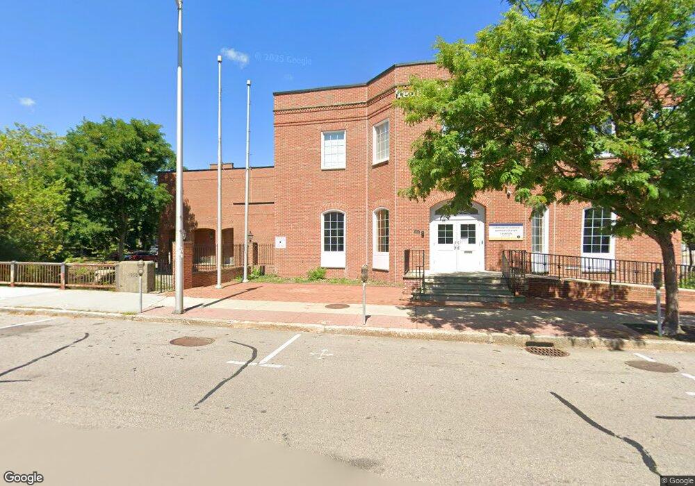
5 Cohannet St Unit 2 Taunton, MA 02780
City Center NeighborhoodEstimated Value: $1,679,320
--
Bed
5
Baths
7,500
Sq Ft
$224/Sq Ft
Est. Value
About This Home
This home is located at 5 Cohannet St Unit 2, Taunton, MA 02780 and is currently estimated at $1,679,320, approximately $223 per square foot. 5 Cohannet St Unit 2 is a home located in Bristol County with nearby schools including H. H. Galligan School, Taunton High School, and John F. Parker Middle School.
Ownership History
Date
Name
Owned For
Owner Type
Purchase Details
Closed on
Feb 13, 2007
Sold by
Taunton Acquisition Ll
Bought by
Enterprise Publishing
Current Estimated Value
Purchase Details
Closed on
Dec 13, 1996
Sold by
Thomson Newspapers Inc
Bought by
Taunton Acquisition
Create a Home Valuation Report for This Property
The Home Valuation Report is an in-depth analysis detailing your home's value as well as a comparison with similar homes in the area
Home Values in the Area
Average Home Value in this Area
Purchase History
| Date | Buyer | Sale Price | Title Company |
|---|---|---|---|
| Enterprise Publishing | $1,243,500 | -- | |
| Taunton Acquisition | $75,000 | -- | |
| Taunton Acquisition | $37,500 | -- |
Source: Public Records
Tax History Compared to Growth
Tax History
| Year | Tax Paid | Tax Assessment Tax Assessment Total Assessment is a certain percentage of the fair market value that is determined by local assessors to be the total taxable value of land and additions on the property. | Land | Improvement |
|---|---|---|---|---|
| 2025 | $31,663 | $1,331,500 | $223,600 | $1,107,900 |
| 2024 | $33,368 | $1,360,300 | $223,600 | $1,136,700 |
| 2023 | $32,617 | $1,240,200 | $223,600 | $1,016,600 |
| 2022 | $19,848 | $687,500 | $173,400 | $514,100 |
| 2021 | $36,134 | $1,247,300 | $173,400 | $1,073,900 |
| 2020 | $30,540 | $990,900 | $138,700 | $852,200 |
| 2019 | $31,806 | $928,900 | $136,500 | $792,400 |
| 2018 | $30,853 | $896,100 | $132,100 | $764,000 |
| 2017 | $30,727 | $885,500 | $130,800 | $754,700 |
| 2016 | $30,054 | $885,500 | $130,800 | $754,700 |
| 2015 | $29,210 | $878,500 | $151,500 | $727,000 |
| 2014 | $27,400 | $878,500 | $151,500 | $727,000 |
Source: Public Records
Map
Nearby Homes
- 48 Taunton Green
- 5 Dean Ave
- 0, M64 L51 Knapp St
- 0 M64 L39 Knapp St
- 0, M64 L49 Knapp St
- 0, M64 L50 Knapp St
- 46 Harrison St Unit 4
- 31 Church Green Unit 303
- 19 Mason St
- 12 Chestnut St Unit A
- 54 Adams St
- 278 Cohannet St
- 48 Oak St
- 98 Winthrop St
- 16 Clinton St
- 9 Bradford St
- 215 High St Unit 21
- 215 High St Unit 20
- 39 Myrtle St
- 16 Kilton St
- LOT 18 Bridget Dr
- Lot 21 Run Brook Cir
- 0 Leona Dr Unit 72485755
- 4 Court St Unit 2
- 4 Court St Unit 3
- 4 Court St Unit 4
- 4 Court St Unit 7
- 4 Court St Unit 6
- 4 Court St Unit 5
- 4 Court St Unit 107
- 4 Court St Unit 2
- 4 Court St Unit 1
- Lot B Cohannet St
- 10 Court St
- 10 Court St Unit 2
- 10 Court St Unit 1
- 10 Court St Unit 1
- 10 Court St Unit 1 or 2
- 94 Cobbrook Dr
- 000 Lots of Potential