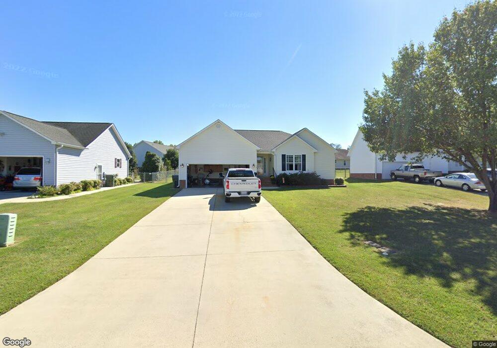
5 Connor Ct Thomasville, NC 27360
Estimated Value: $249,367 - $283,000
3
Beds
2
Baths
2,223
Sq Ft
$120/Sq Ft
Est. Value
About This Home
This home is located at 5 Connor Ct, Thomasville, NC 27360 and is currently estimated at $267,092, approximately $120 per square foot. 5 Connor Ct is a home located in Davidson County with nearby schools including Fair Grove Elementary School, E. Lawson Brown Middle School, and East Davidson High School.
Ownership History
Date
Name
Owned For
Owner Type
Purchase Details
Closed on
Dec 16, 2004
Sold by
Wagner Thomas W and Wagner Robena E
Bought by
Bryant Donnie Joe
Current Estimated Value
Purchase Details
Closed on
May 31, 2002
Sold by
Summey Kenneth L and Summey Phyllis B
Bought by
Wagner Thomas W and Wagner Robena E
Purchase Details
Closed on
Feb 5, 2001
Sold by
Blair Appraisal Service Inc
Bought by
Summey Kenneth L and Summey Phyllis B
Create a Home Valuation Report for This Property
The Home Valuation Report is an in-depth analysis detailing your home's value as well as a comparison with similar homes in the area
Home Values in the Area
Average Home Value in this Area
Purchase History
| Date | Buyer | Sale Price | Title Company |
|---|---|---|---|
| Bryant Donnie Joe | $129,000 | -- | |
| Wagner Thomas W | $120,000 | -- | |
| Summey Kenneth L | $22,000 | -- |
Source: Public Records
Tax History
| Year | Tax Paid | Tax Assessment Tax Assessment Total Assessment is a certain percentage of the fair market value that is determined by local assessors to be the total taxable value of land and additions on the property. | Land | Improvement |
|---|---|---|---|---|
| 2025 | $1,610 | $140,940 | $0 | $0 |
| 2024 | $1,610 | $140,940 | $0 | $0 |
| 2023 | $1,610 | $140,940 | $0 | $0 |
| 2022 | $1,610 | $140,940 | $0 | $0 |
| 2021 | $1,610 | $140,940 | $0 | $0 |
| 2020 | $1,284 | $114,340 | $0 | $0 |
| 2019 | $99 | $114,370 | $0 | $0 |
| 2018 | $1,304 | $114,370 | $0 | $0 |
| 2017 | $1,304 | $114,370 | $0 | $0 |
| 2016 | $1,258 | $114,370 | $0 | $0 |
| 2015 | $1,258 | $114,370 | $0 | $0 |
| 2014 | $1,491 | $135,510 | $0 | $0 |
Source: Public Records
Map
Nearby Homes
- 4 Braxton Ln
- 12 Braxton Ln
- 114 Brooke Ridge Dr
- 109 Fletcher's Farm Dr
- 42 Harris Farm Ct
- 1579 Lake Rd
- 323 Jarrett Rd
- 73 Harris Farm Ct
- 32 Ranchor Dr
- 158 S Old Fisher Ferry Rd
- 2501 Denton Rd
- 104 Willowbrook Dr
- 300 Willowbrook Dr
- 128 Kendall Mill Rd
- 1109 W Holly Hill Rd
- 596 Colleen Dr
- 119 Hillcrest Rd
- 1107 Harvest Dr
- 0 Smith Dr
- 450 Black Lake Rd
Your Personal Tour Guide
Ask me questions while you tour the home.