Estimated Value: $720,840 - $844,000
3
Beds
2
Baths
2,056
Sq Ft
$373/Sq Ft
Est. Value
About This Home
This home is located at 5 Coopers Way, York, ME 03909 and is currently estimated at $767,460, approximately $373 per square foot. 5 Coopers Way is a home located in York County with nearby schools including Coastal Ridge Elementary School, Village Elementary School, and York Middle School.
Ownership History
Date
Name
Owned For
Owner Type
Purchase Details
Closed on
May 17, 2017
Sold by
Brossman Linda J
Bought by
Angelico Debra L and Merriam Thomas K
Current Estimated Value
Home Financials for this Owner
Home Financials are based on the most recent Mortgage that was taken out on this home.
Original Mortgage
$286,500
Outstanding Balance
$145,208
Interest Rate
3.36%
Mortgage Type
New Conventional
Estimated Equity
$622,252
Create a Home Valuation Report for This Property
The Home Valuation Report is an in-depth analysis detailing your home's value as well as a comparison with similar homes in the area
Home Values in the Area
Average Home Value in this Area
Purchase History
| Date | Buyer | Sale Price | Title Company |
|---|---|---|---|
| Angelico Debra L | -- | -- |
Source: Public Records
Mortgage History
| Date | Status | Borrower | Loan Amount |
|---|---|---|---|
| Open | Angelico Debra L | $286,500 |
Source: Public Records
Tax History Compared to Growth
Tax History
| Year | Tax Paid | Tax Assessment Tax Assessment Total Assessment is a certain percentage of the fair market value that is determined by local assessors to be the total taxable value of land and additions on the property. | Land | Improvement |
|---|---|---|---|---|
| 2024 | $4,655 | $554,200 | $243,900 | $310,300 |
| 2023 | $4,021 | $475,800 | $157,700 | $318,100 |
| 2022 | $3,694 | $432,000 | $138,800 | $293,200 |
| 2021 | $3,843 | $386,200 | $138,800 | $247,400 |
| 2020 | $3,806 | $342,900 | $138,800 | $204,100 |
| 2019 | $3,595 | $322,400 | $120,100 | $202,300 |
| 2018 | $3,595 | $322,400 | $120,100 | $202,300 |
| 2017 | $3,107 | $283,700 | $112,600 | $171,100 |
| 2016 | $2,996 | $268,700 | $97,600 | $171,100 |
| 2015 | $2,921 | $265,500 | $97,600 | $167,900 |
| 2014 | $2,841 | $265,500 | $97,600 | $167,900 |
| 2013 | $2,833 | $271,600 | $97,600 | $174,000 |
Source: Public Records
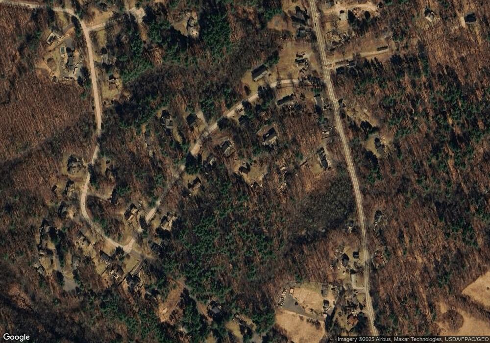
Map
Nearby Homes
- 801 Us Rt 1 Yorke Woods Unit K-3
- 801 Us Route 1 Unit D2
- 801 U S Route 1 Unit K-3
- 208 Long Sands Rd
- 10 Yorke Ridge Way
- 15 Summer Breeze Unit A & B
- 23 Kerry Rd
- 6 Dingle Rd Unit 4
- 6 Dingle Rd Unit 5
- 277 Long Beach Ave
- 361 Long Beach Ave
- 3 Cornish Ave
- 10 Amherst Ave Unit 10
- 10 Amherst Ave
- 281 York St
- 294 York St Unit 1
- 294 York St Unit 2
- 35 Gunnison Rd
- 8 Surfore Rd
- 4 Surfore Dr
- 3 Coopers Way
- 4 Coopers Way
- 133 Fieldstone Estates Rd
- 137 Fieldstone Estates Rd
- 125 Fieldstone Estates Rd
- 145 Fieldstone Estates Rd
- 119 Fieldstone Estates Rd
- 151 Old Post Rd
- 153 Fieldstone Estates Rd
- 136 Fieldstone Estates Rd
- 135 Old Post Rd
- 146 Fieldstone Estates Rd
- 126 Fieldstone Estates Rd
- 131 Old Post Rd
- 140 Old Post Rd
- 140 Old Post Rd
- 120 Fieldstone Estates Rd
- 159 Old Post Rd
- 121 Old Post Rd
- 101 Fieldstone Estates Rd