5 Covered Bridge Rd Branchburg, NJ 08853
Branchburg Township NeighborhoodEstimated Value: $861,000 - $924,000
--
Bed
--
Bath
2,618
Sq Ft
$341/Sq Ft
Est. Value
About This Home
This home is located at 5 Covered Bridge Rd, Branchburg, NJ 08853 and is currently estimated at $892,069, approximately $340 per square foot. 5 Covered Bridge Rd is a home located in Somerset County with nearby schools including Whiton Elementary School, Stony Brook School, and Branchburg Central Middle School.
Ownership History
Date
Name
Owned For
Owner Type
Purchase Details
Closed on
Mar 9, 2005
Sold by
Bursac Gojko
Bought by
Marino David and Marino Diana
Current Estimated Value
Home Financials for this Owner
Home Financials are based on the most recent Mortgage that was taken out on this home.
Original Mortgage
$480,000
Outstanding Balance
$243,831
Interest Rate
5.64%
Mortgage Type
New Conventional
Estimated Equity
$648,238
Create a Home Valuation Report for This Property
The Home Valuation Report is an in-depth analysis detailing your home's value as well as a comparison with similar homes in the area
Home Values in the Area
Average Home Value in this Area
Purchase History
| Date | Buyer | Sale Price | Title Company |
|---|---|---|---|
| Marino David | $630,000 | -- |
Source: Public Records
Mortgage History
| Date | Status | Borrower | Loan Amount |
|---|---|---|---|
| Open | Marino David | $480,000 |
Source: Public Records
Tax History Compared to Growth
Tax History
| Year | Tax Paid | Tax Assessment Tax Assessment Total Assessment is a certain percentage of the fair market value that is determined by local assessors to be the total taxable value of land and additions on the property. | Land | Improvement |
|---|---|---|---|---|
| 2025 | $12,413 | $754,900 | $200,700 | $554,200 |
| 2024 | $12,413 | $688,100 | $200,700 | $487,400 |
| 2023 | $11,959 | $639,200 | $200,700 | $438,500 |
| 2022 | $12,046 | $611,800 | $200,700 | $411,100 |
| 2021 | $12,046 | $569,800 | $200,700 | $369,100 |
| 2020 | $12,119 | $565,500 | $200,700 | $364,800 |
| 2019 | $12,051 | $559,200 | $200,700 | $358,500 |
| 2018 | $11,901 | $550,700 | $196,900 | $353,800 |
| 2017 | $11,729 | $539,000 | $186,900 | $352,100 |
| 2016 | $11,548 | $527,300 | $186,900 | $340,400 |
| 2015 | $11,295 | $516,700 | $171,900 | $344,800 |
| 2014 | $11,066 | $501,300 | $171,900 | $329,400 |
Source: Public Records
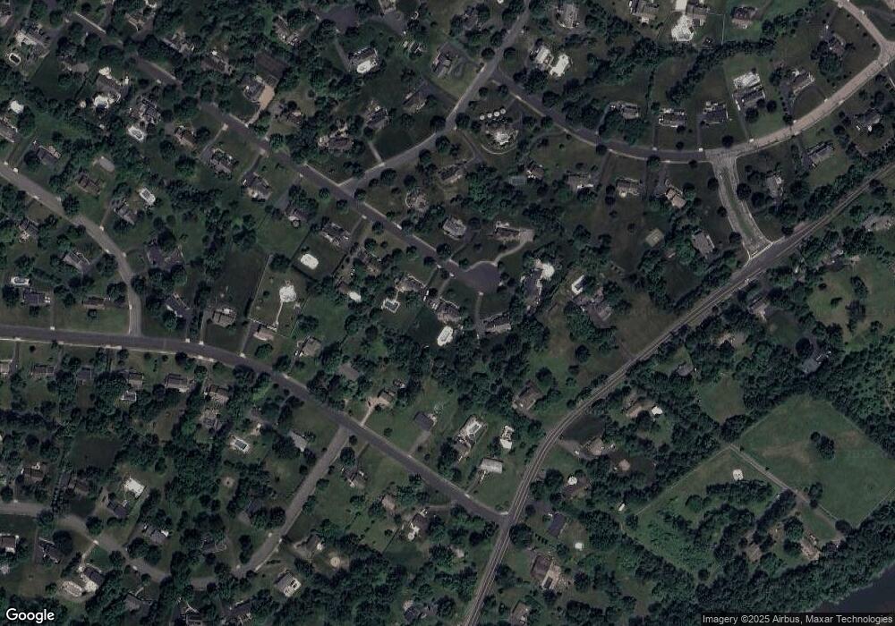
Map
Nearby Homes
- 126 Carriage Hill Way
- 1053 Hillcrest Dr
- 31 S Davenport St
- 27 Fremont St
- 435 Windmill Way
- 838 Riverside Dr
- 713 Colonial Ct
- 15 Campbell Ct
- 317 Old York Rd
- 10 Red Oak Way
- 93 Windy Willow Way
- 598 River Rd
- 1601 Breckenridge Dr
- 261 Old York Rd
- 511 Red Crest Ln
- 203 Red Crest Ln
- 101 Hodge Rd
- 499 Barton Ln
- 46 Strawberry Hill Rd
- 2 Carlisle Rd
- 7 Covered Bridge Rd
- 3 Covered Bridge Rd
- 1006 Hillcrest Dr
- 1004 Hillcrest Dr
- 1008 Hillcrest Dr
- 9 Covered Bridge Rd
- 8 Covered Bridge Rd
- 4 Covered Bridge Rd
- 2230 S Branch Rd
- 6 Covered Bridge Rd
- 1002 Hillcrest Dr
- 1010 Hillcrest Dr
- 10 Covered Bridge Rd
- 11 Covered Bridge Rd
- 1000 Hillcrest Dr
- 36 Arrowhead Dr
- 2228 S Branch Rd
- 1012 Hillcrest Dr
- 1007 Hillcrest Dr
- 15 Covered Bridge Rd